01
Vágar
Wide western horizons
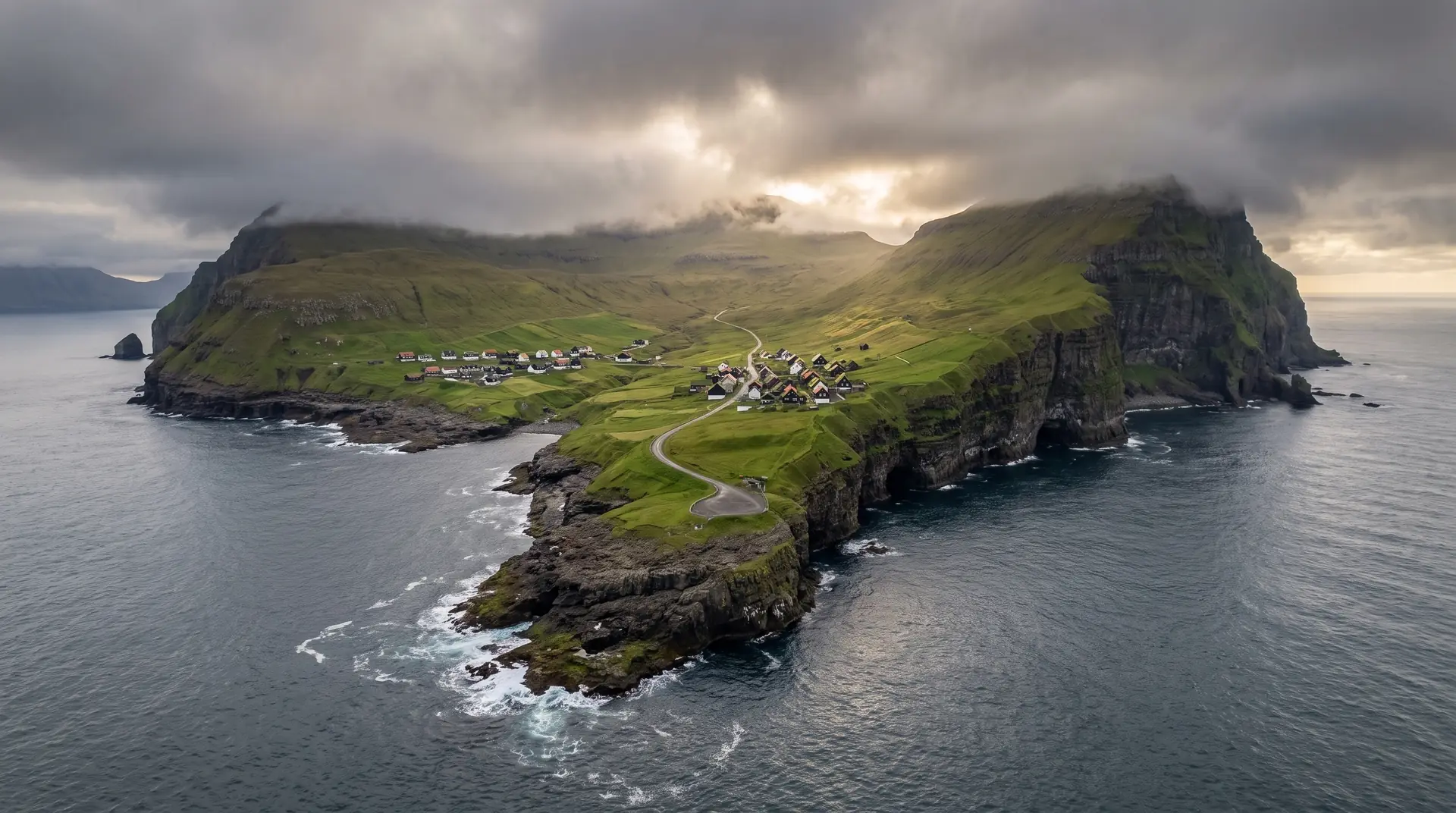
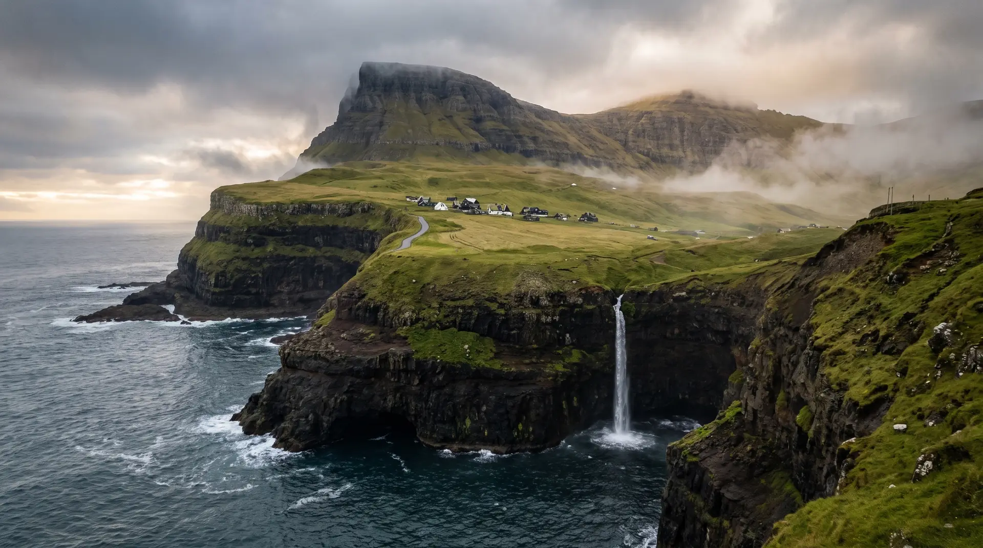
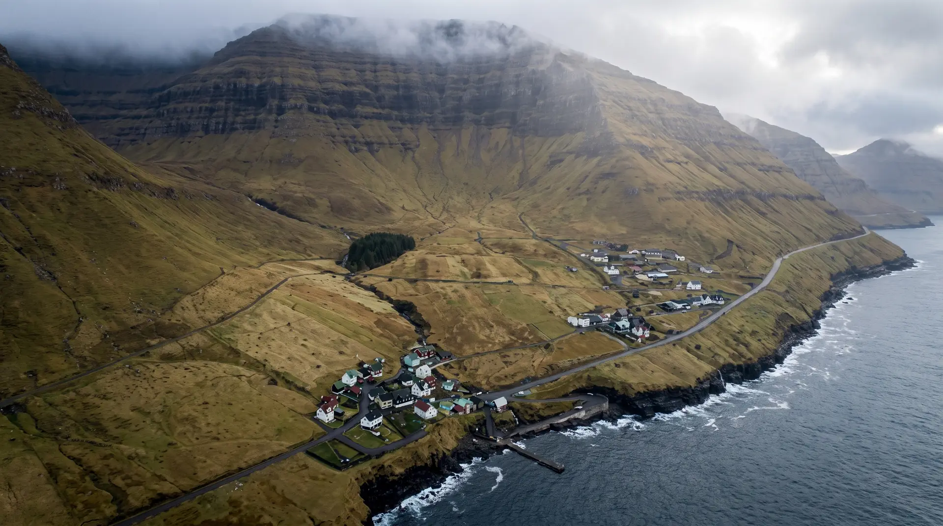
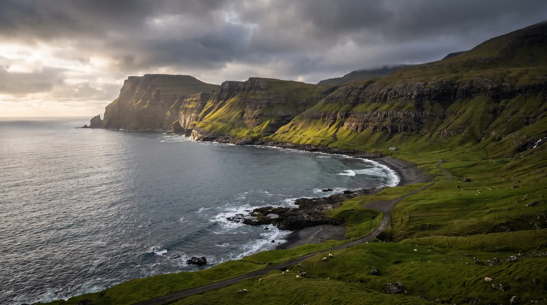
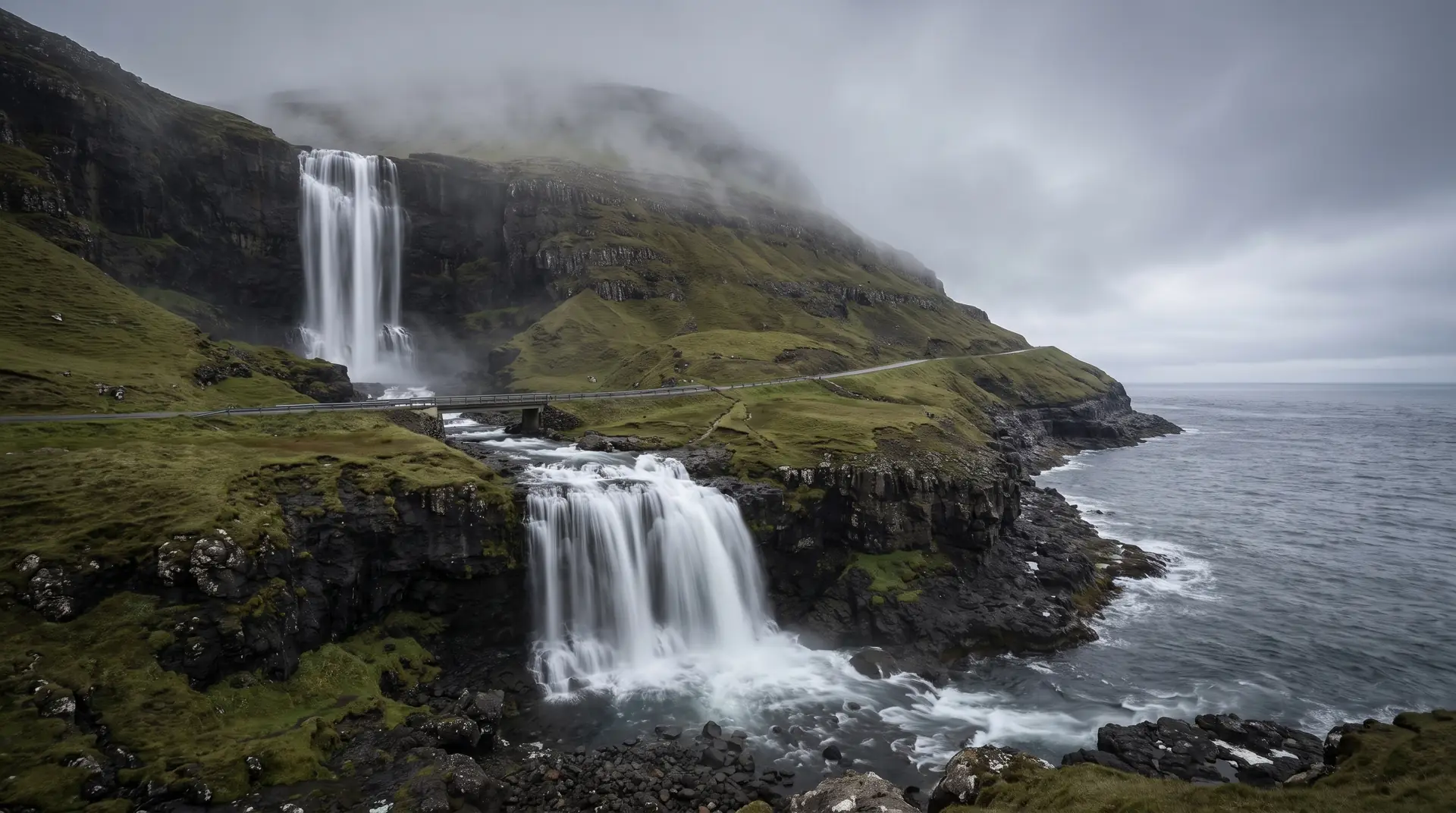
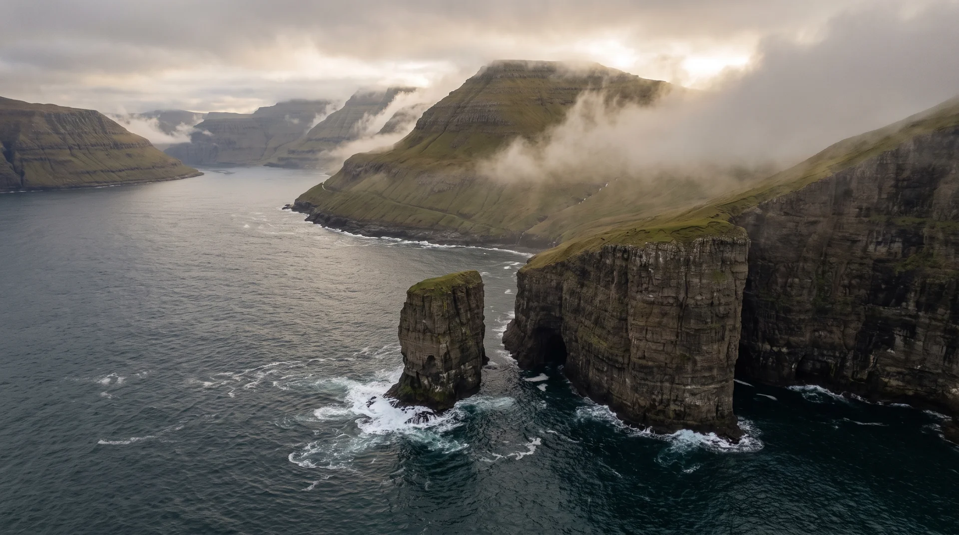
Gateway island — waterfalls, sea stacks, the Mykines ferry.
6 locations
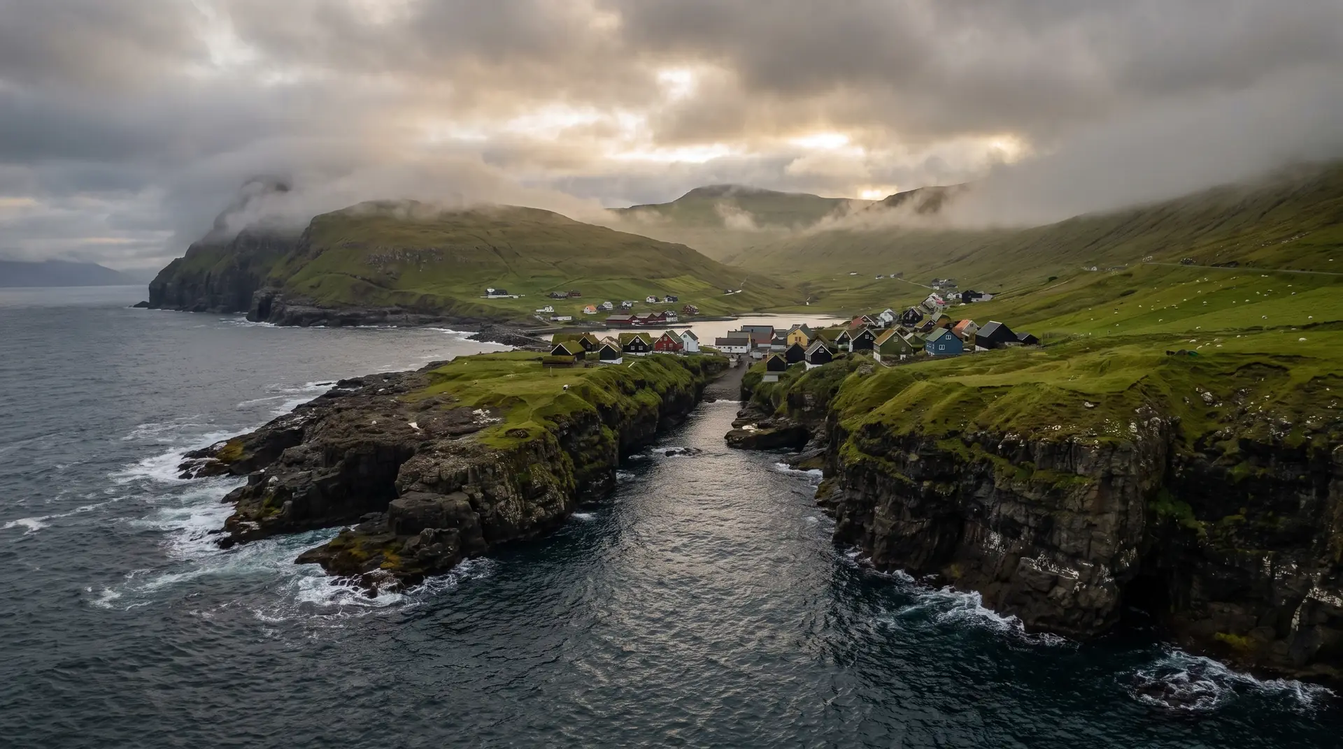
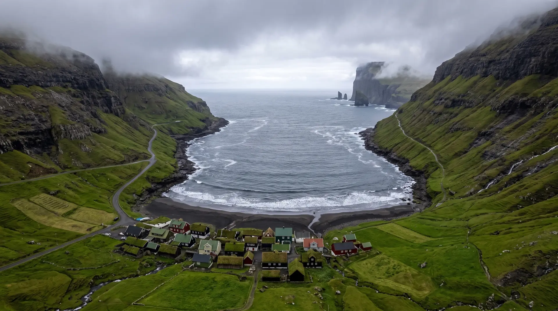
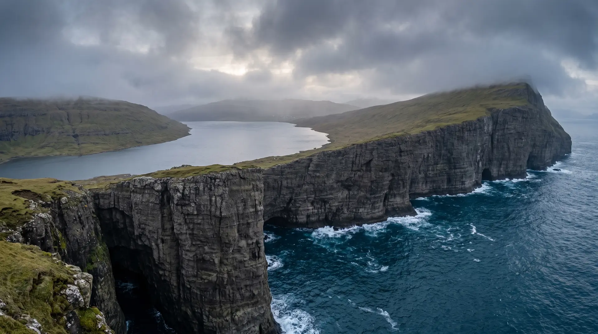
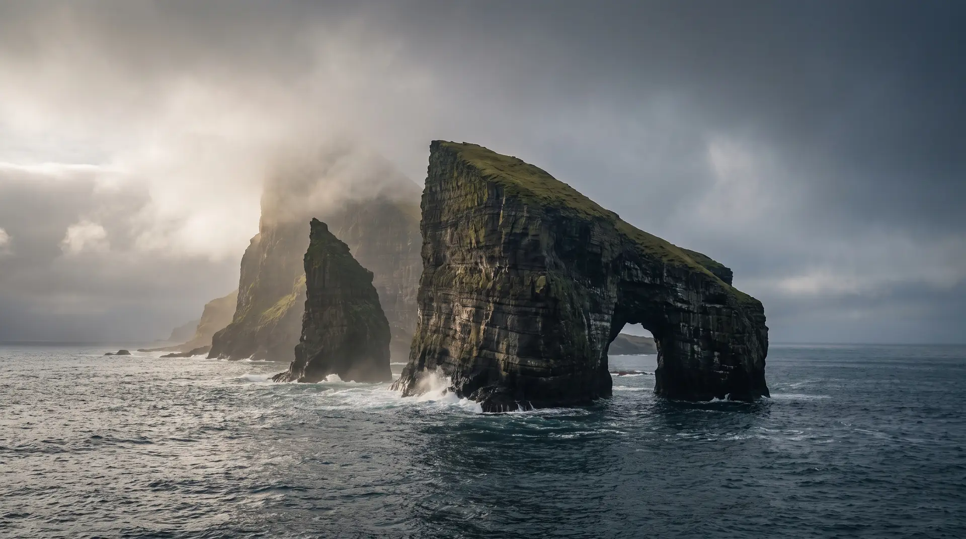
Explore villages, cliffs, weather systems, hidden roads, photography locations and dramatic landscapes across the Faroe Islands — sorted by mood, activity and live conditions.
Gateway island — waterfalls, sea stacks, the Mykines ferry.
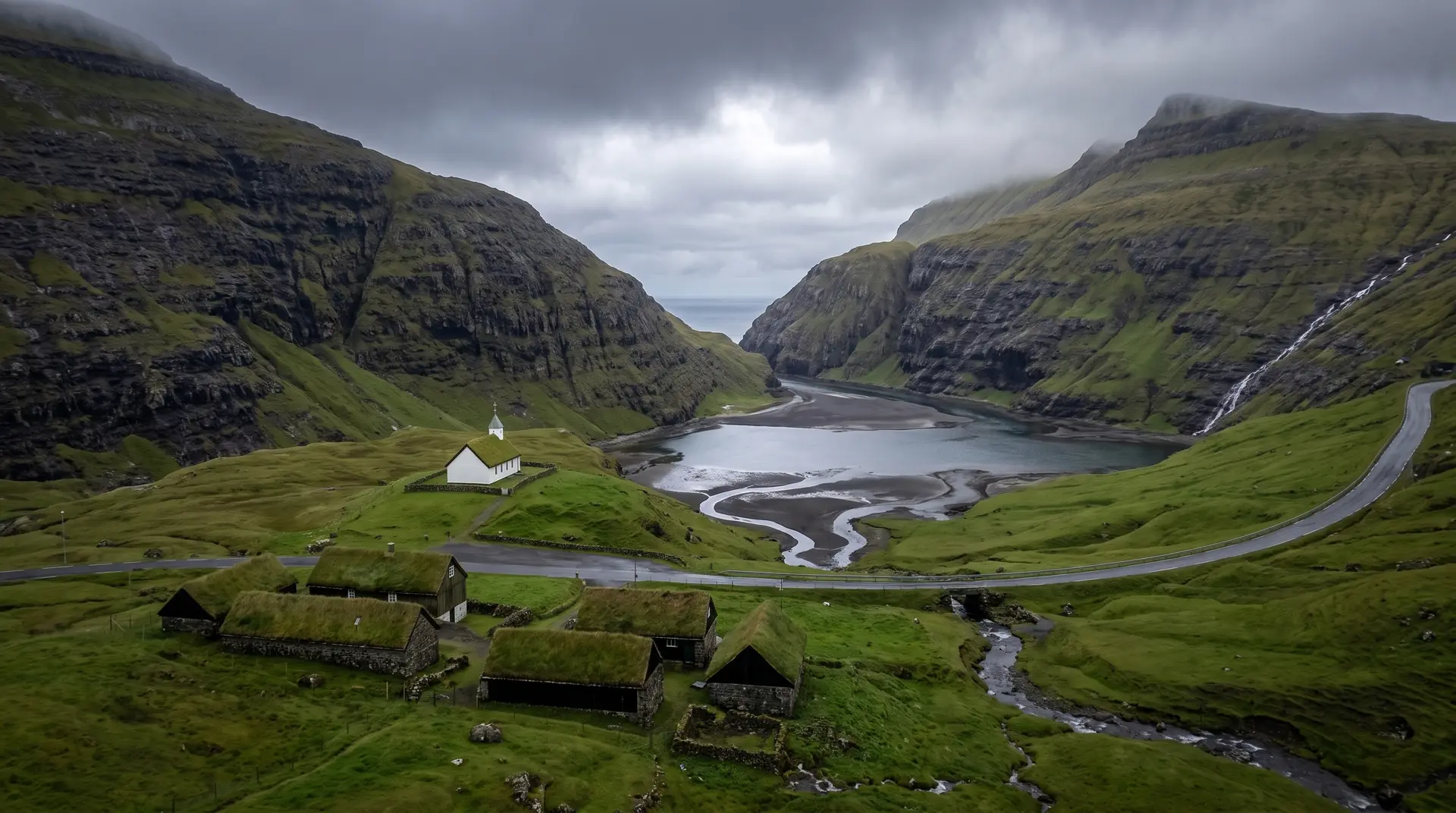
Saksun's amphitheatre and the capital's harbour.
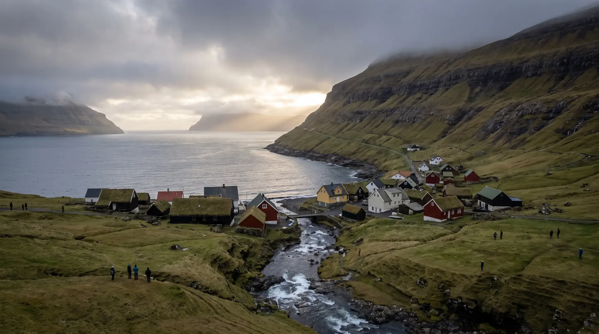
Slættaratindur and the sea gorge at Gjógv.
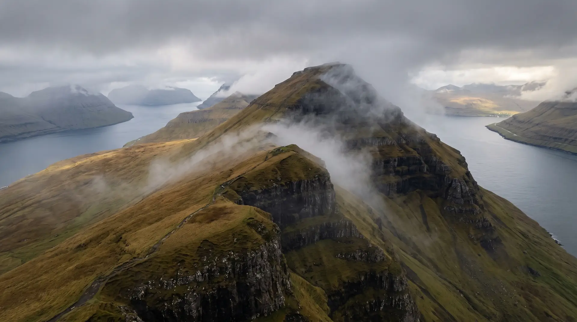
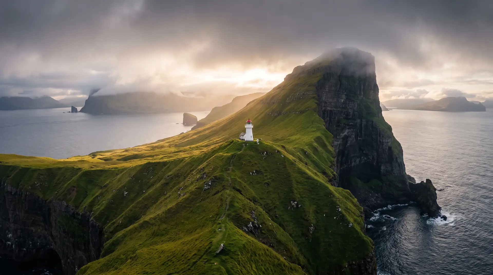
The flute-shaped island of tunnels and Kallur.
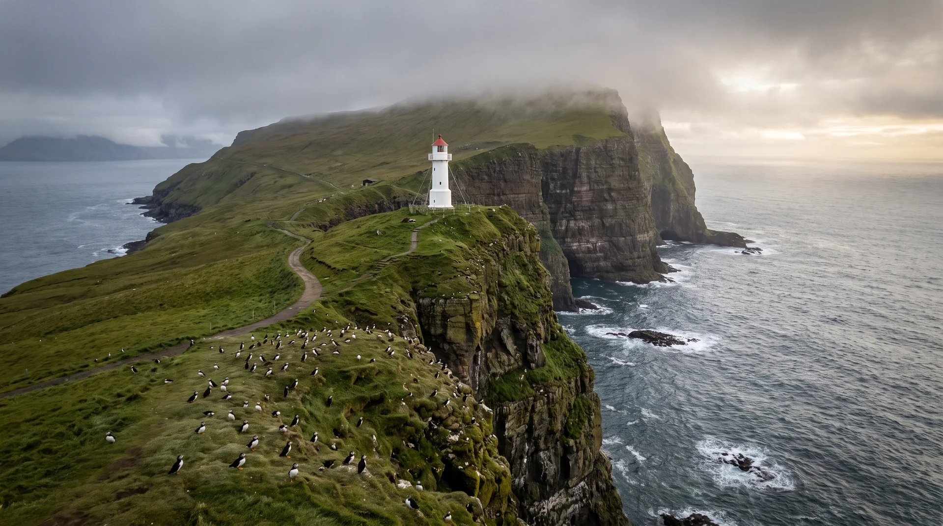
The puffin island — weather decides the ferry.
Sunrise and sunset bearings, fog probability, drone legality, composition notes, and weather windows for every featured location — the practical layer beneath the atmosphere.
Open photography atlas →