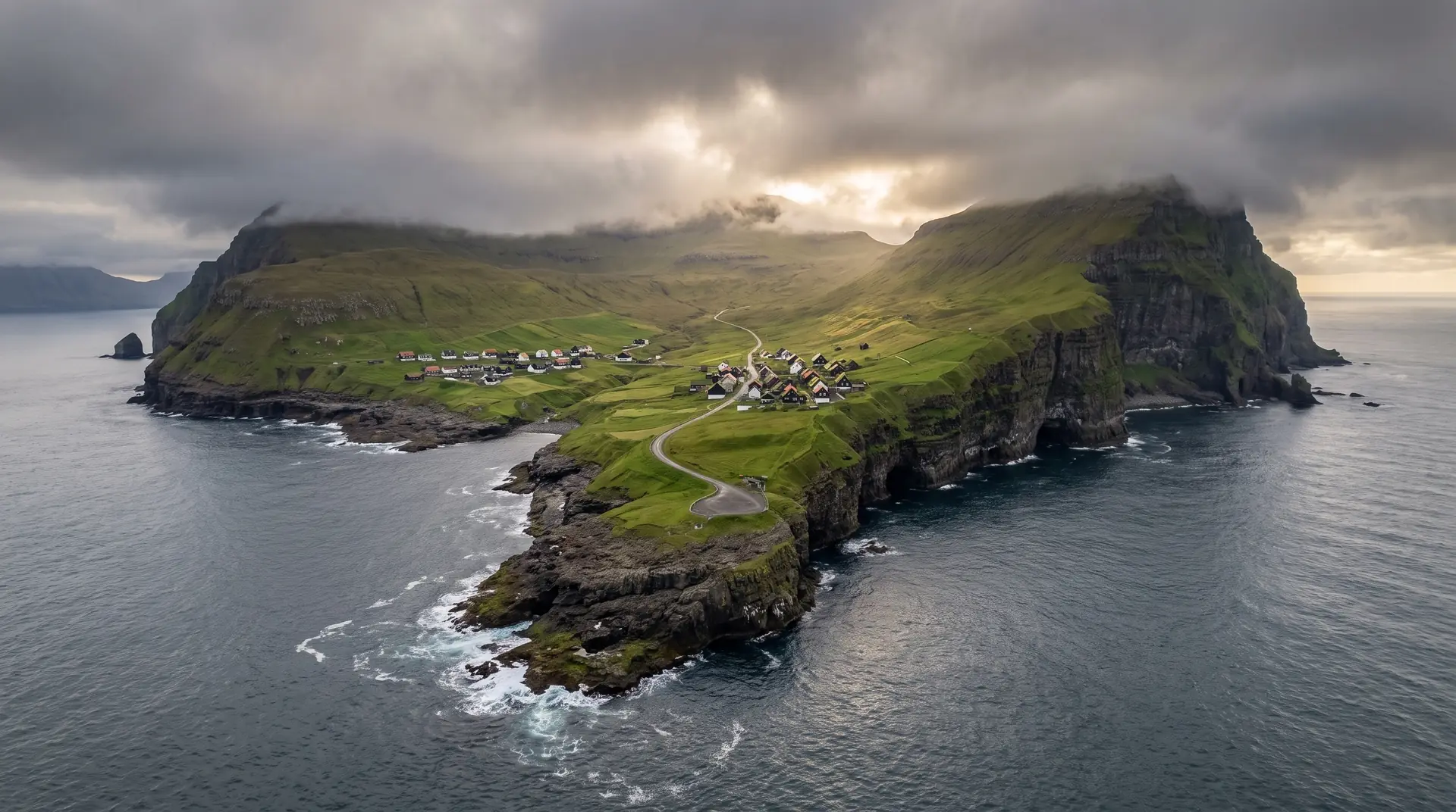
Fugloy.
The last island east, where the road ends at the water and never resumes.
Kirkja and Hattarvík — thirty people and eighteen — share the easternmost island in the Faroes. There are no car roads: you arrive on the passenger boat from Hvannasund or by helicopter.
- 01Bird cliffs on three sides — the island is named for them
- 02Paths, not roads: nothing here has a windscreen
- 03Some sailings run only if somebody telephones ahead
- 04The sea, not the timetable, has the final say
The place, as it lets itself be seen.
How the weather
behaves here.
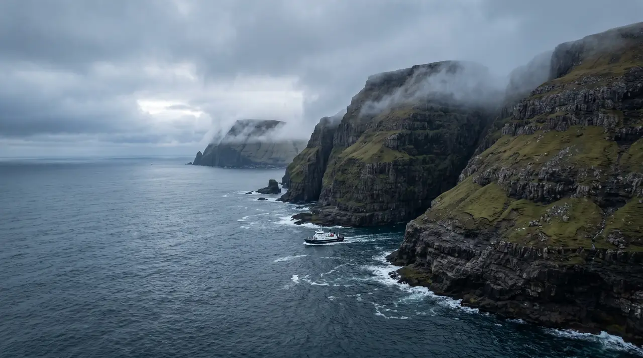
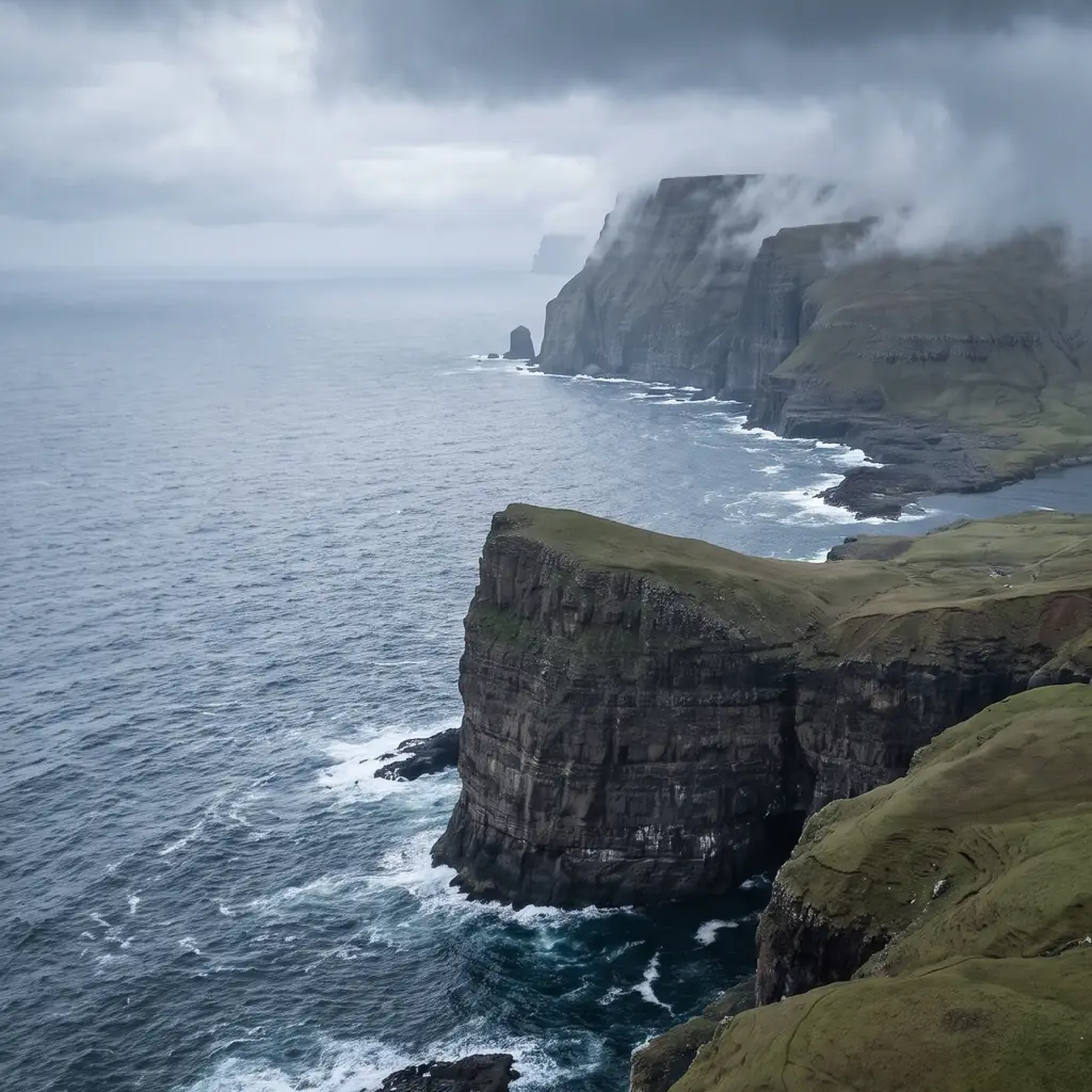
Read the air before you arrive. Fronts pass fast in the Faroes — fog, wind, and light can rewrite this place within an hour.
How to arrive,
how to stay.
- Access
- Drive to Hvannasund on Viðoy, then the passenger boat or the helicopter · no cars on Fugloy
- Parking
- At Hvannasund harbour · leave the car and cross on foot
- Ferry
- Route 58 from Hvannasund · Kirkja 45 min, Hattarvík 55 min · some departures run only on request, phoned at least two hours ahead
- Fees
- Around 40–50 DKK each way on the boat — check ssl.fo before you travel
- Difficulty
- Moderate
- Duration
- A full day · the timetable, not the walking, sets the length
- Best season
- June–August · winter crossings are frequently cancelled
- Crowd level
- Quiet
- Drone
- Restricted
- Safety
- No shop, no road and no second way off · carry food and confirm your return sailing first
A field guide
for the light.
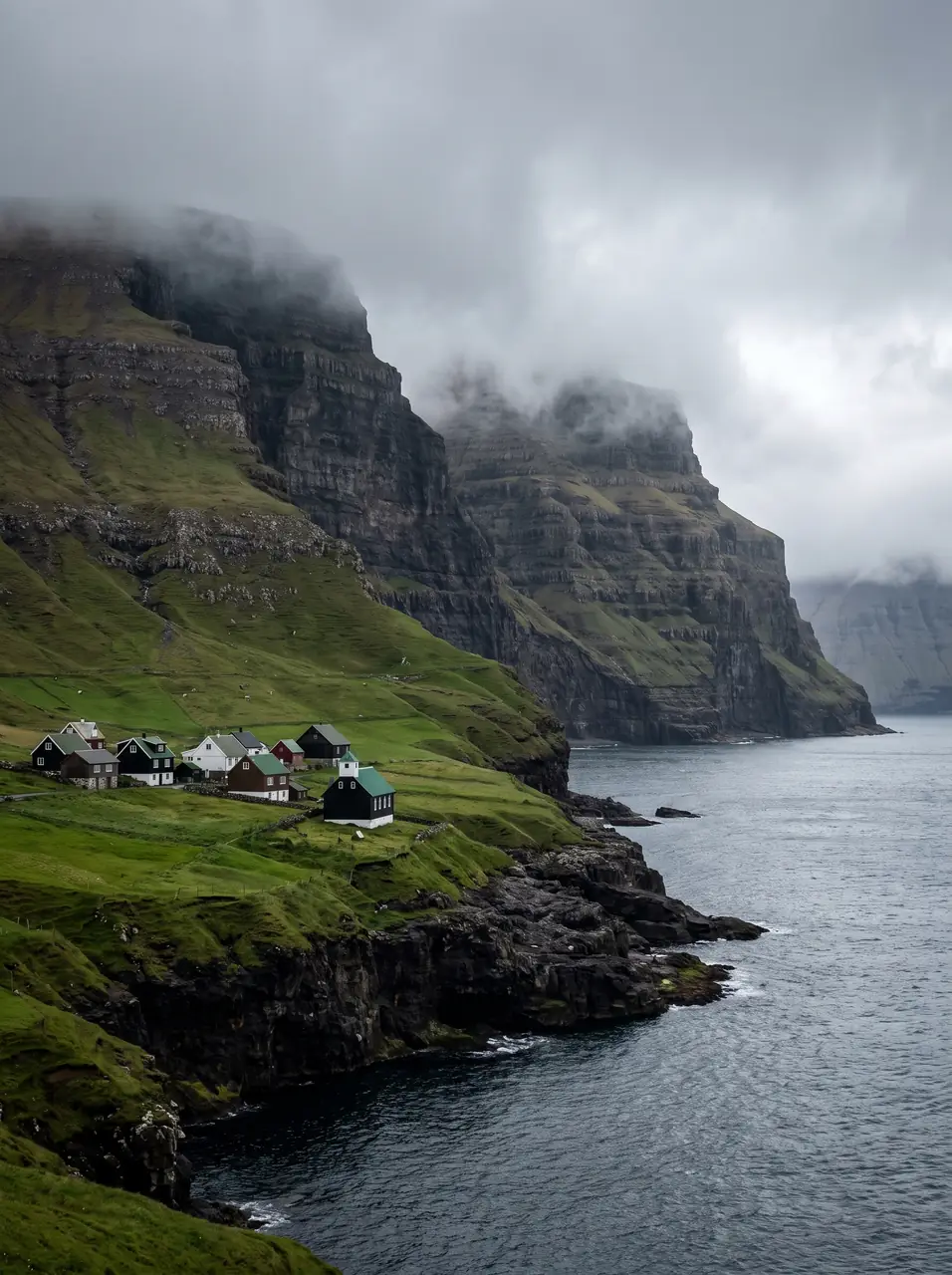
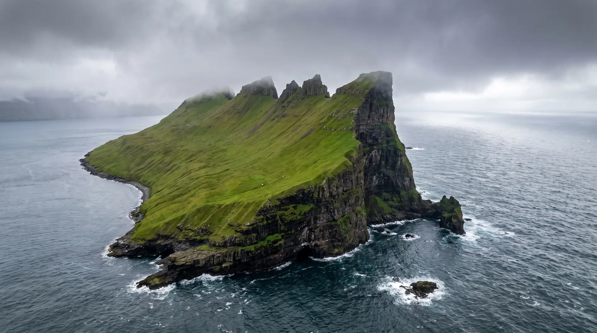
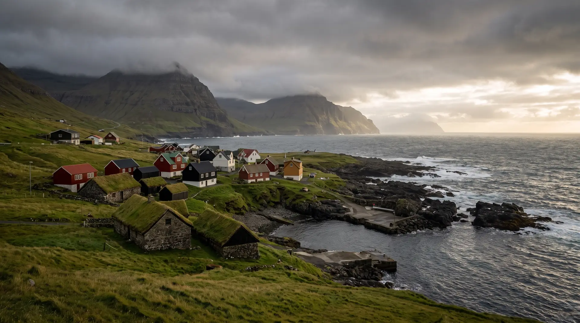
Sea fog stripping and re-hanging over the cliffs between sailings. Shoot Kirkja from the path above the harbour — houses small, cliff enormous, the boat the only moving thing.
- 24–70mm standard
- 70–200mm to the bird cliffs
- 35mm prime in the villages
Nesting cliffs and tight-packed houses · stay 150 m clear of both, under 120 m, and never over the heliport.
June–July · long light and the most reliable crossings
62.32° N · 6.32° W
Surrounding villages, hikes, and weather overlays — open the full atlas to explore in motion.
Within an
afternoon's drift.
Where the road gives up.
“Forty-eight people, two villages, and a boat that comes if the sea allows and somebody remembers to call.”
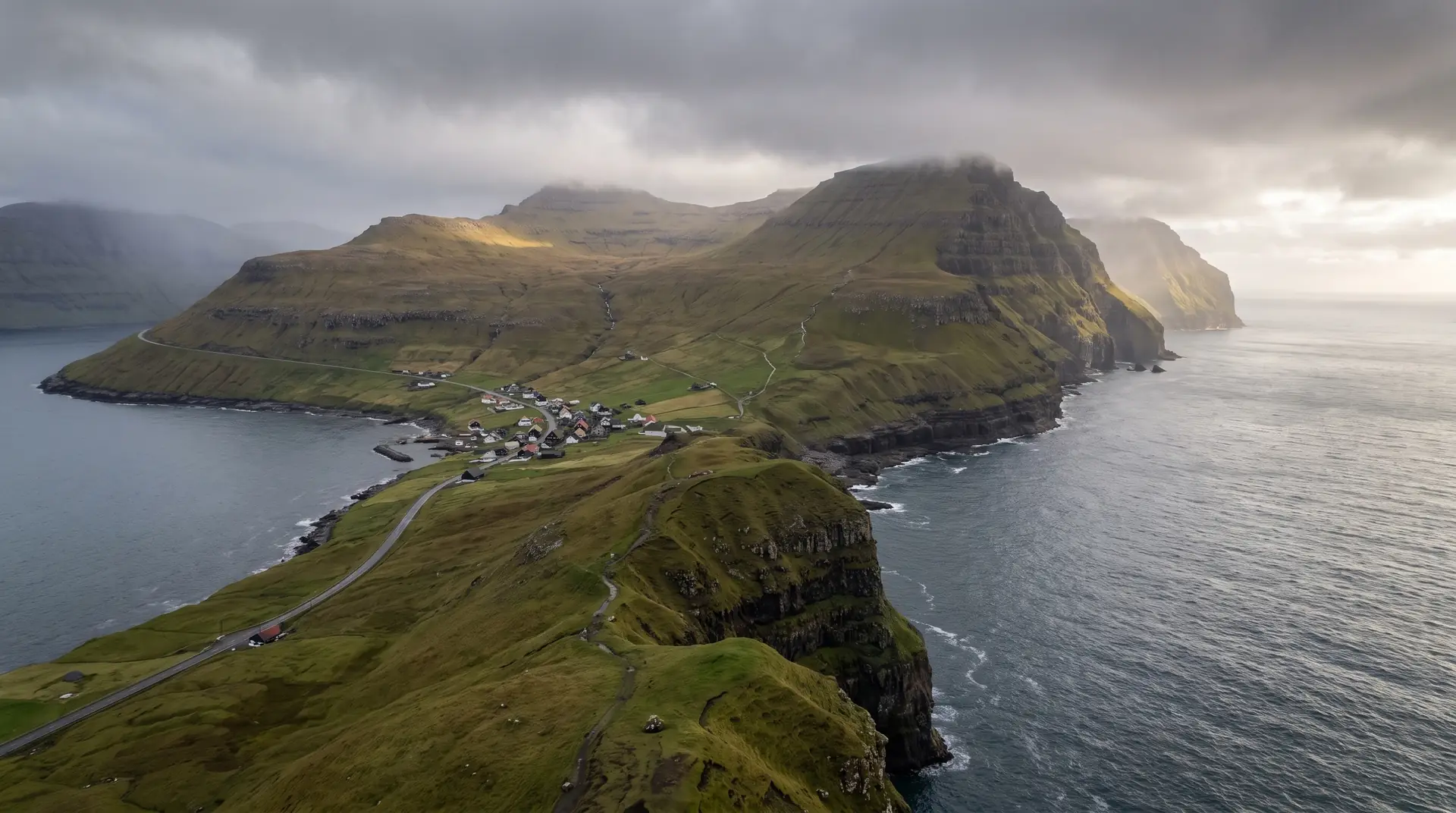
Fugloy is the far east of the country, an eleven-square-kilometre block of cliff with Kirkja on the west shore and Hattarvík on the east. Between them run footpaths. The passenger boat on route 58 leaves Hvannasund, calls at Svínoy on the way, and reaches Kirkja in forty-five minutes — when it reaches it at all, since several sailings are request-only and need a telephone call the night before.
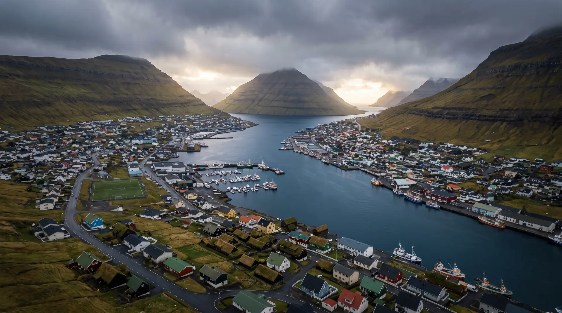
The alternative is the helicopter. Both villages have public heliports, part of the national lifeline network that keeps the smallest islands attached to Klaksvík and Tórshavn; seats are subsidised for residents and thin on the ground for everyone else. It is the cheapest scheduled flight most visitors will ever be jealous of.
What you get for the logistics is a place with almost no infrastructure in frame. Turf roofs, a harbour wall, sheep tracks, and cliffs that hold more birds than the island holds people by four orders of magnitude. Bring the long lens and the patience to wait out the fog.