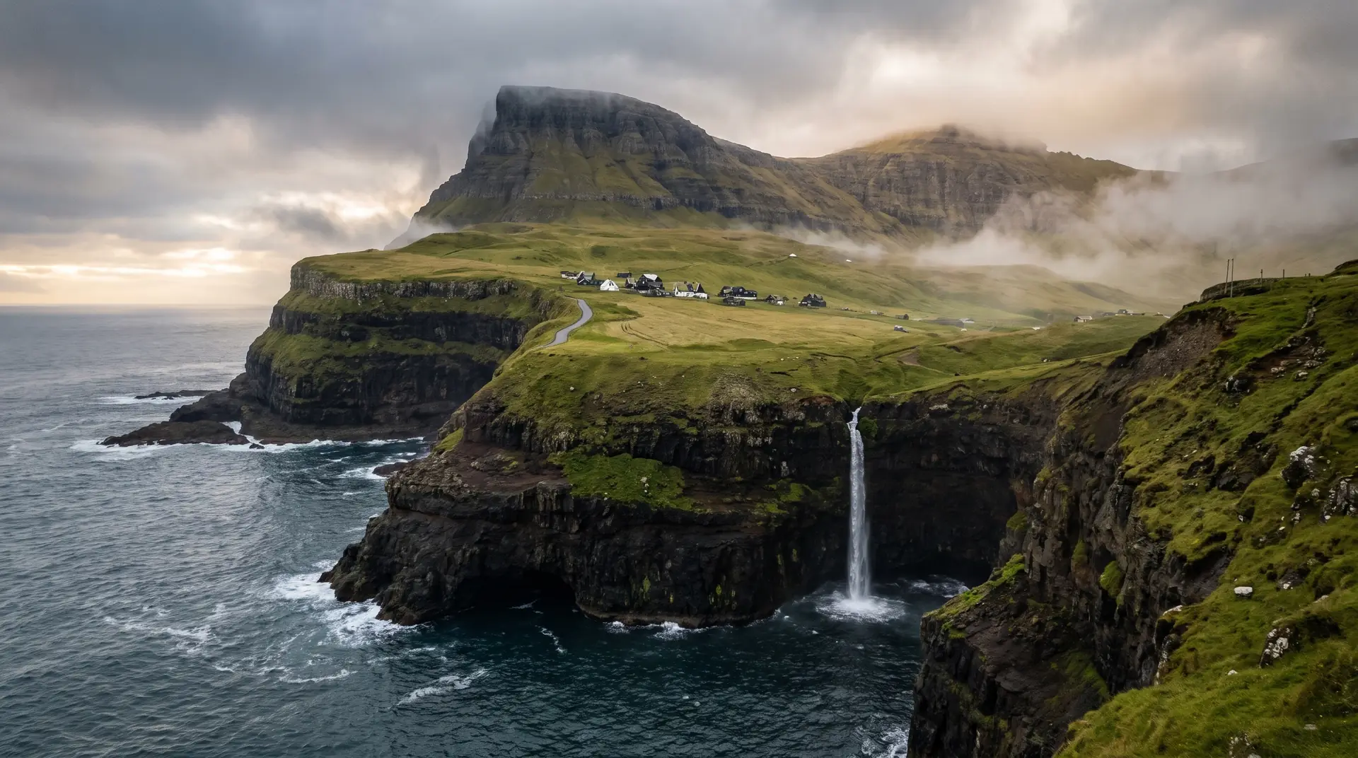
Gásadalur.
Where a waterfall falls clean off the island into the Atlantic.
Múlafossur drops from a village of fifteen houses into open ocean. Until 2004, the only way in was over the mountain.
- 01Best at low tide with side-light from the west
- 02Iconic — but the village is private; arrive quietly
- 03Pre-tunnel isolation still shapes the mood
- 04Rain feeds the cascade; calm days hush it
The place, as it lets itself be seen.
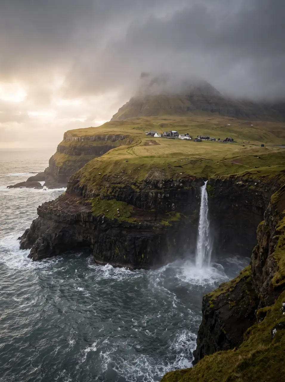
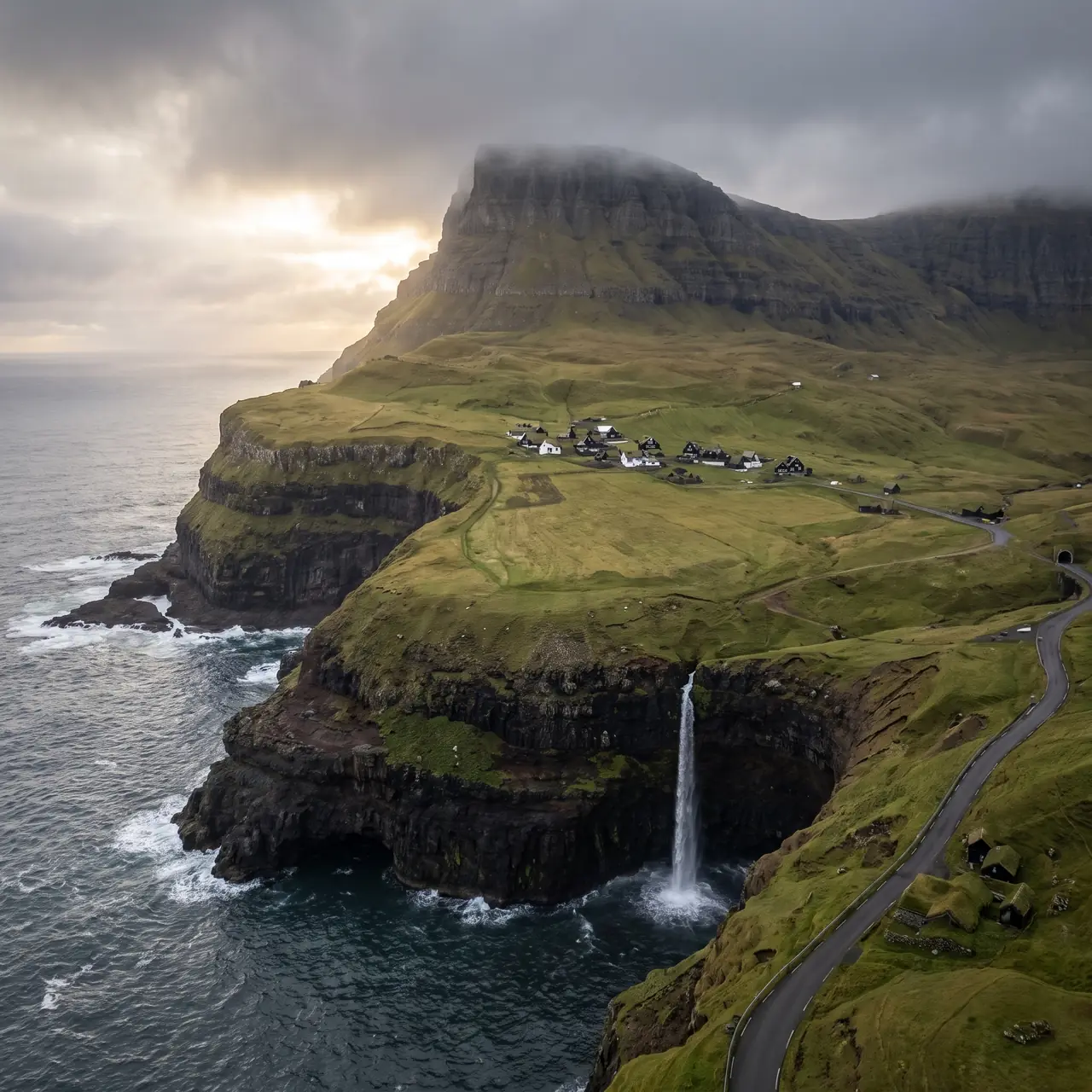
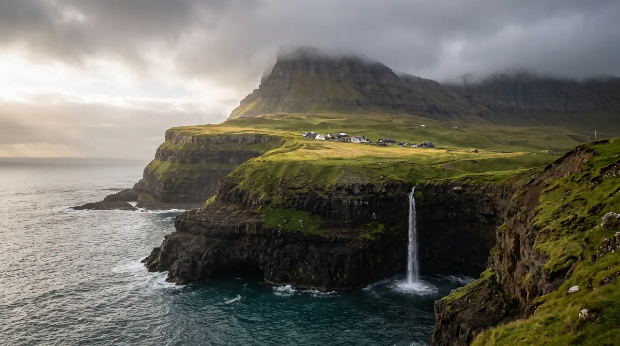
How the weather
behaves here.
Read the air before you arrive. Fronts pass fast in the Faroes — fog, wind, and light can rewrite this place within an hour.
How to arrive,
how to stay.
- Access
- Drive through the Gásadalstunnilin from Bøur
- Parking
- Marked lot above the village
- Difficulty
- Easy
- Duration
- 20–40 min on foot
- Best season
- June–September
- Crowd level
- Moderate
- Drone
- Restricted
- Safety
- Cliff edge unfenced · respect village privacy
A field guide
for the light.
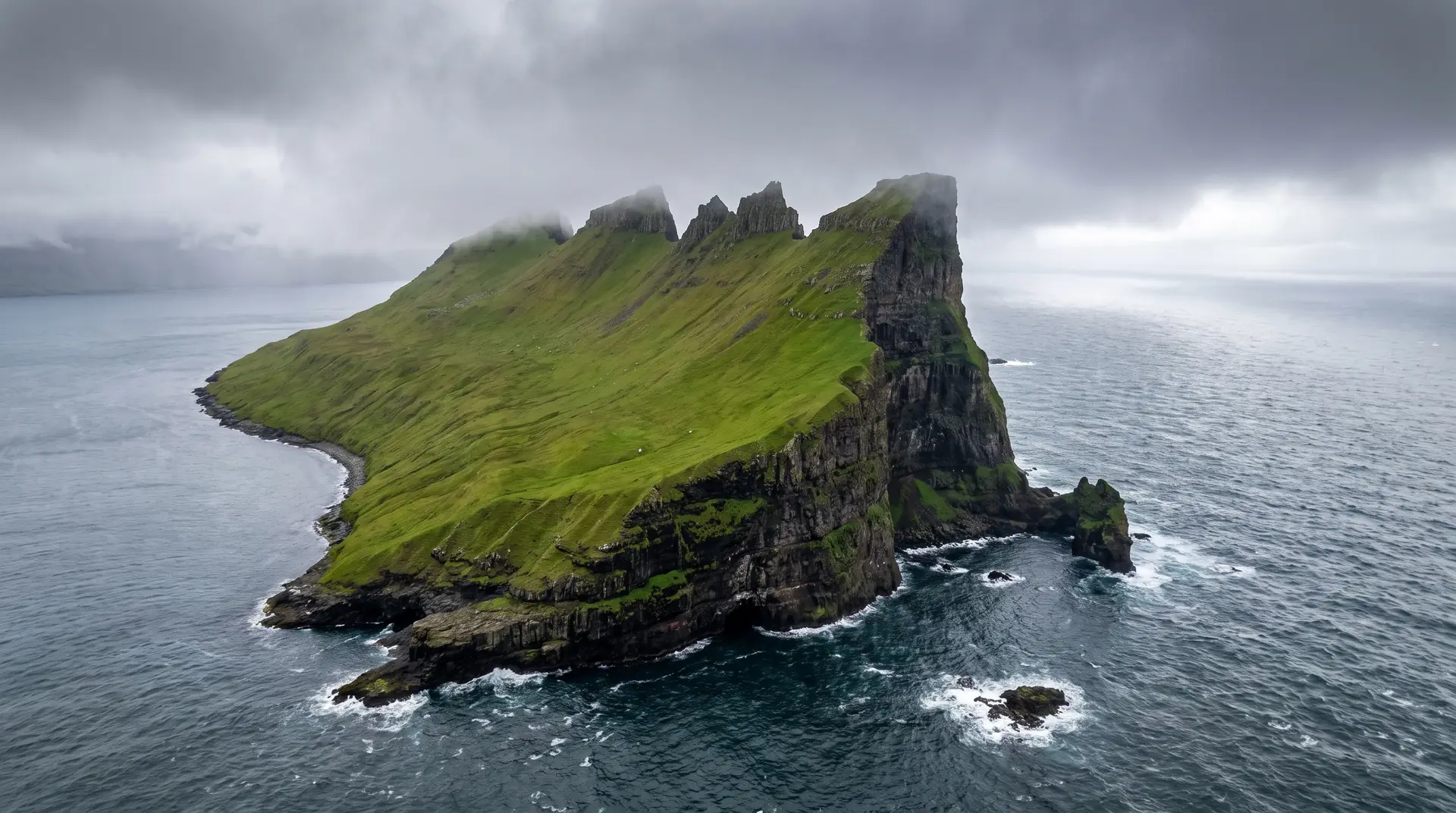
Broken cloud · low westerly sun. Frame from the classic ledge — but climb 30m higher for a less repeated angle.
- 24–70mm standard
- 16–35mm wide
- Polariser essential
Outside the airport’s 5 km zone, but the village is private land: flying over it needs permission. Launch from the sea side.
Late spring for flow · September for low sun
62.11° N · 7.44° W
Surrounding villages, hikes, and weather overlays — open the full atlas to explore in motion.
Within an
afternoon's drift.
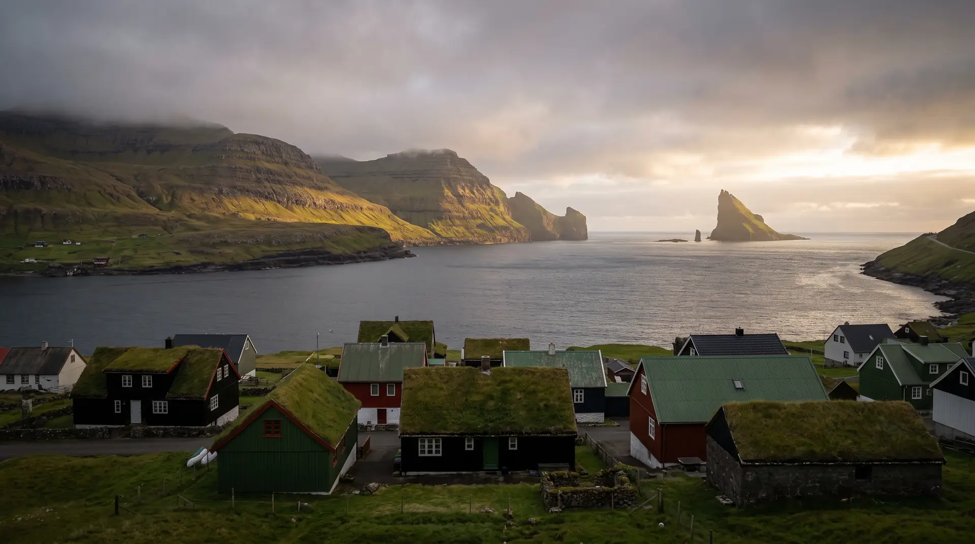
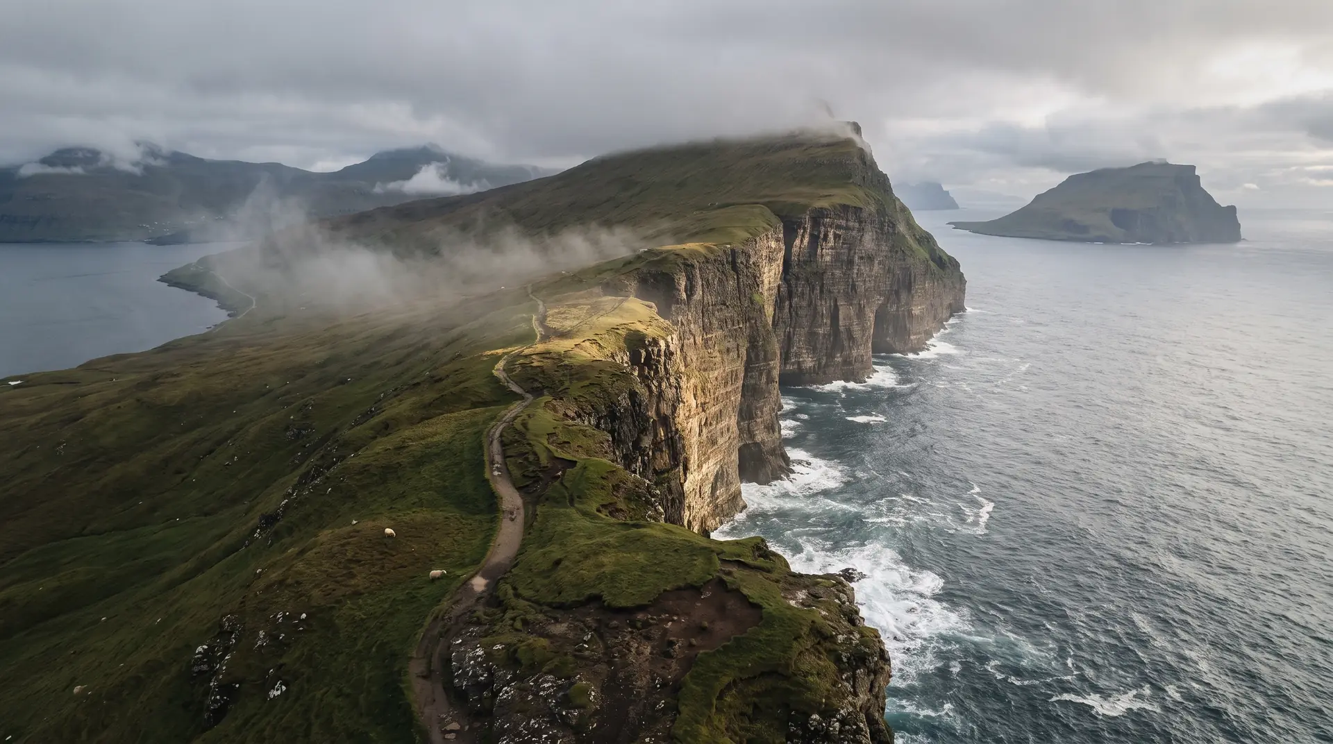
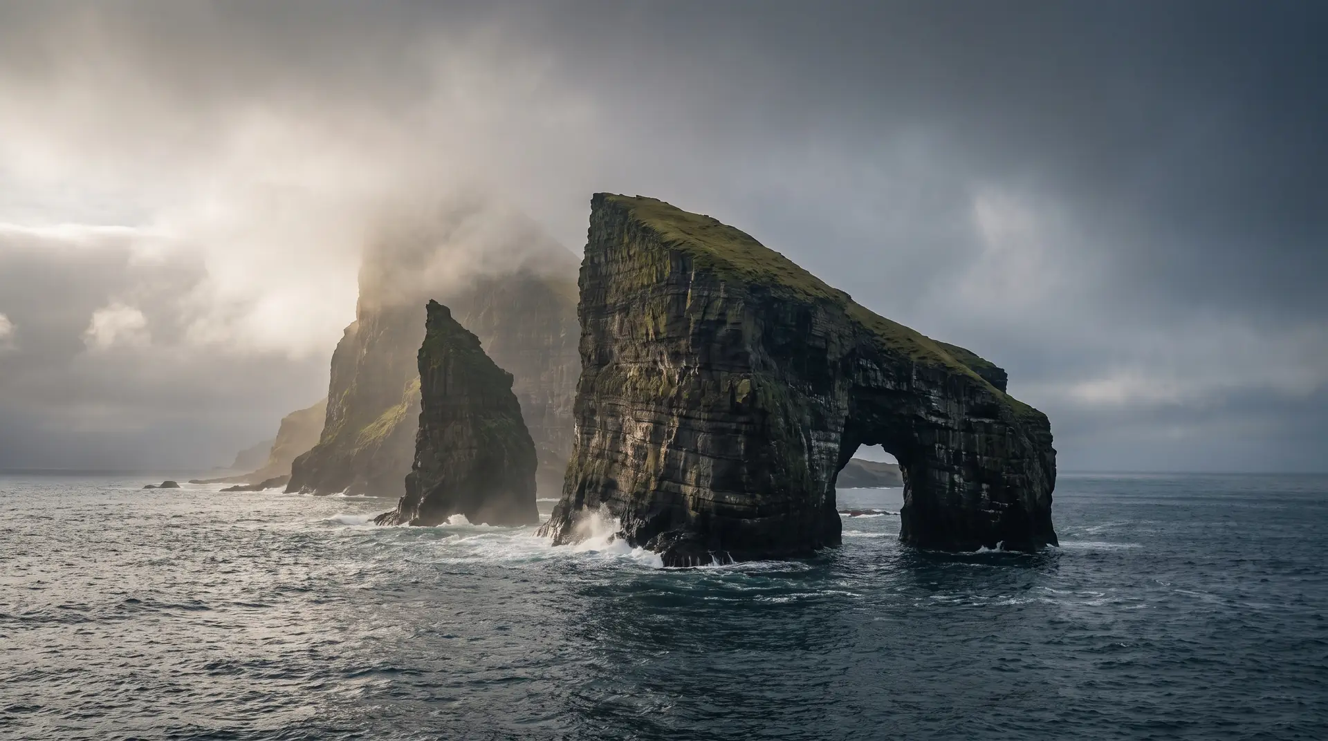
The road came late.
“The mountain decided who arrived, and when, and whether they could leave.”
For most of its modern history, Gásadalur had no road. Mail was carried on foot, three times a week, over the Postman's Path — a 400-metre climb above the sea. The tunnel arrived in 2004 and rewrote everything except the view.
The waterfall — Múlafossur — does not behave like a tourist landmark. It is dramatic in storm and almost shy in calm weather. The light decides what kind of place this is on any given afternoon.