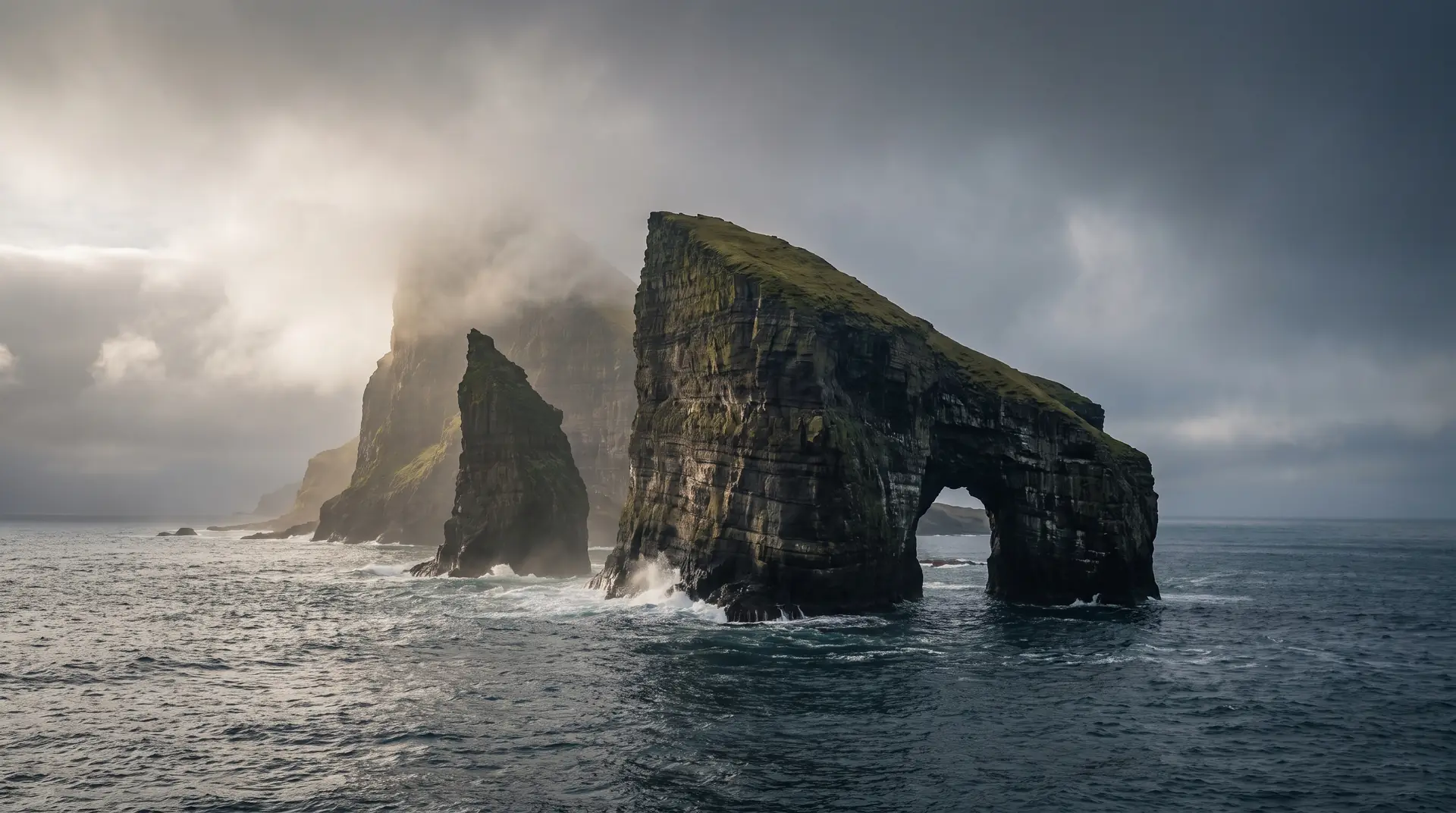
Drangarnir.
Two sea stacks guarding the sound, one pierced clean through.
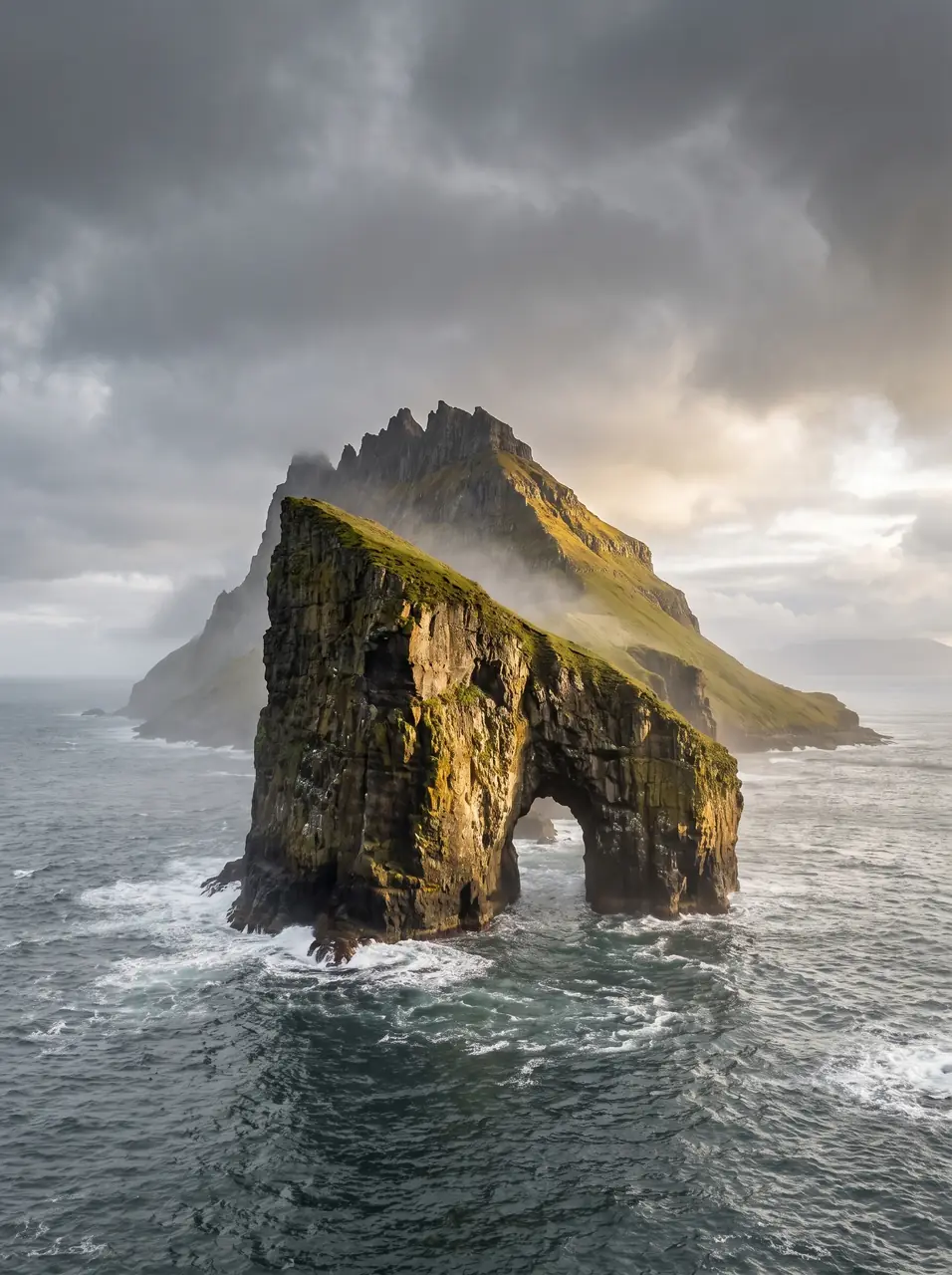
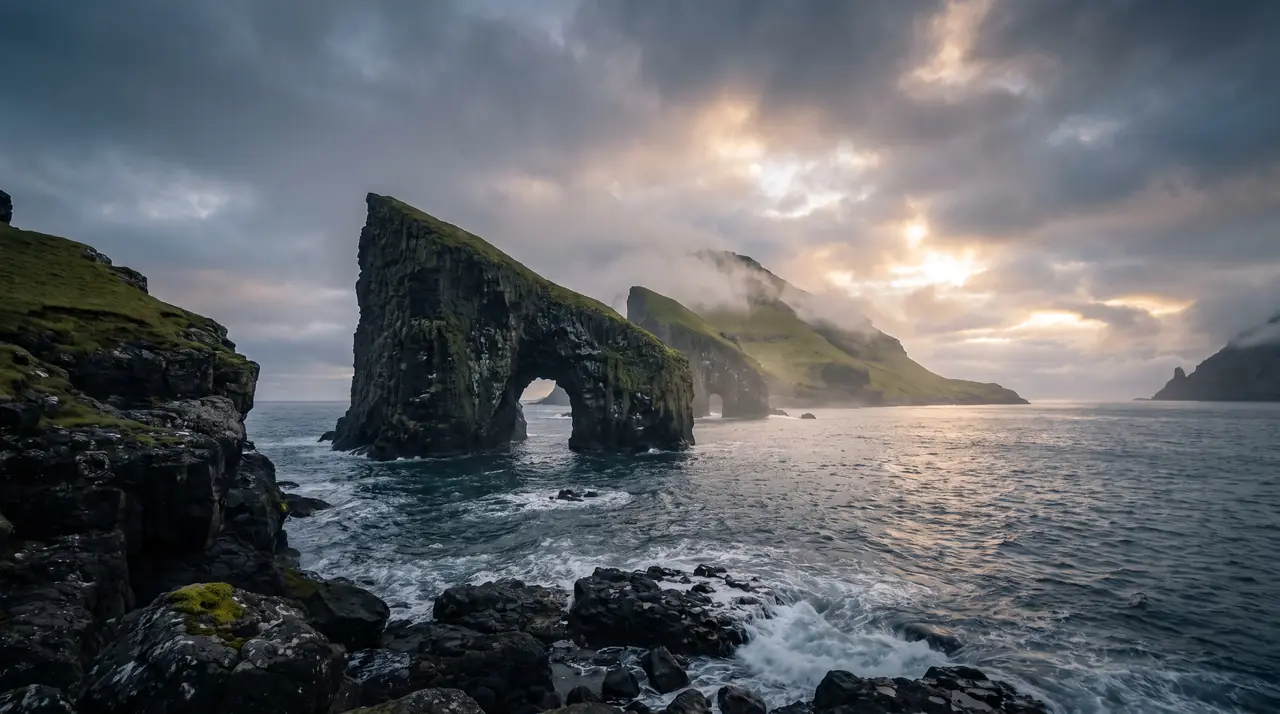
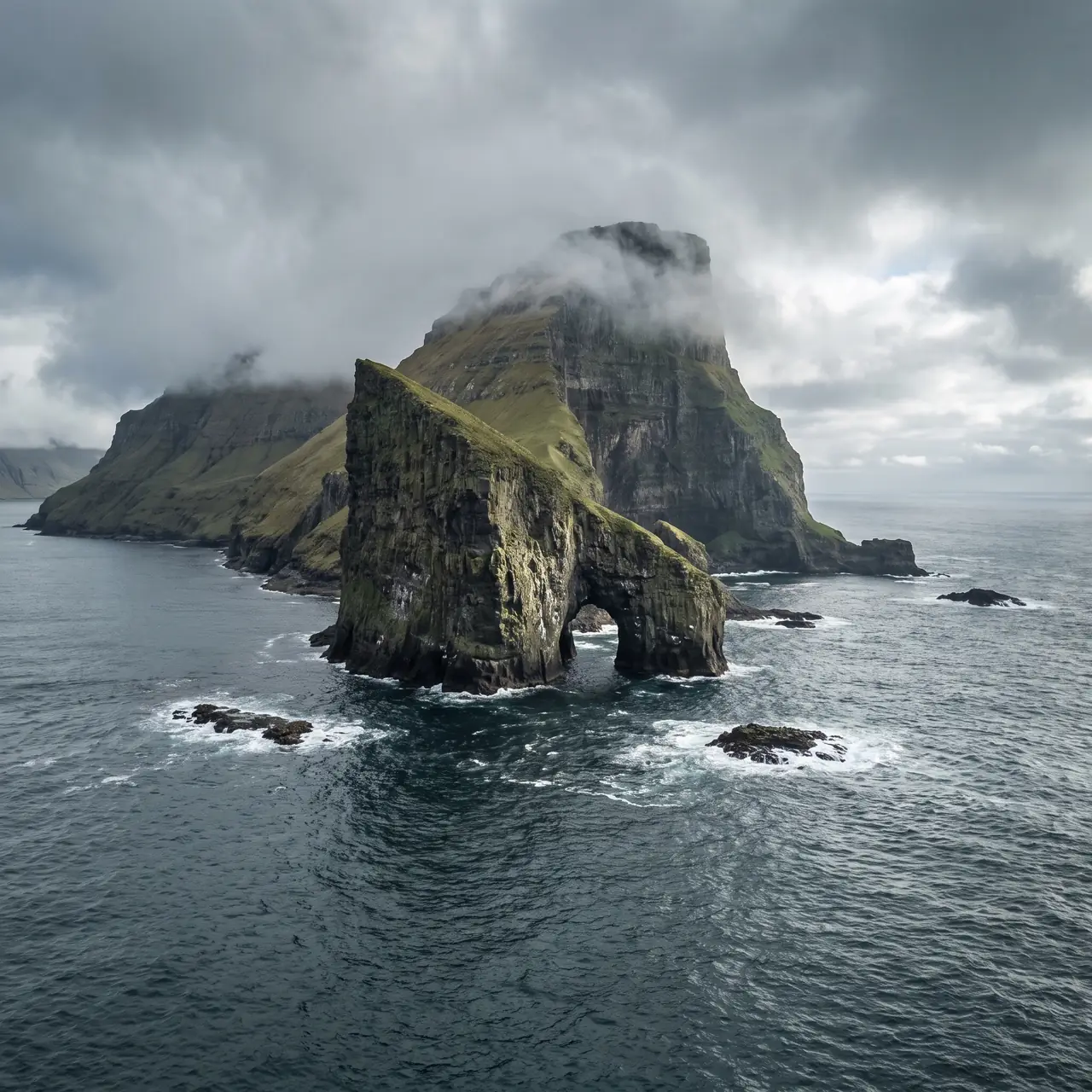
Between Vágar and the islet of Tindhólmur stand Drangarnir — Stóri and Lítli Drangur — the arched sea stacks that anchor half the photography ever made in the Faroes. Access is by guided hike or boat.
- 01The arch frames Tindhólmur when the angle is earned
- 02Guided hikes only — the coastal path crosses working land
- 03Boat tours thread the arch itself in calm swell
- 041 April to 1 October · Wednesday, Saturday and Sunday departures
The place, as it lets itself be seen.
How the weather
behaves here.
Read the air before you arrive. Fronts pass fast in the Faroes — fog, wind, and light can rewrite this place within an hour.
How to arrive,
how to stay.
- Access
- Guided hike from Sørvágur or boat tour · no independent access
- Parking
- In Sørvágur · tours meet at the small boat marina
- Fees
- Guided tour required · season 1 Apr–1 Oct · guided hike 600 DKK · hike and boat 800 DKK · book at hiking.fo
- Difficulty
- Moderate
- Duration
- Guided hike about 5 hours · boat tours 1 to 3 hours
- Best season
- 1 April–1 October (tour season)
- Crowd level
- Quiet
- Drone
- Forbidden
- Safety
- Exposed coastal ground · tides and swell rule the day
A field guide
for the light.
Low western sun through the arch · storm swell for drama. Line the arch on Tindhólmur’s peaks and wait for a wave to detonate on the base.
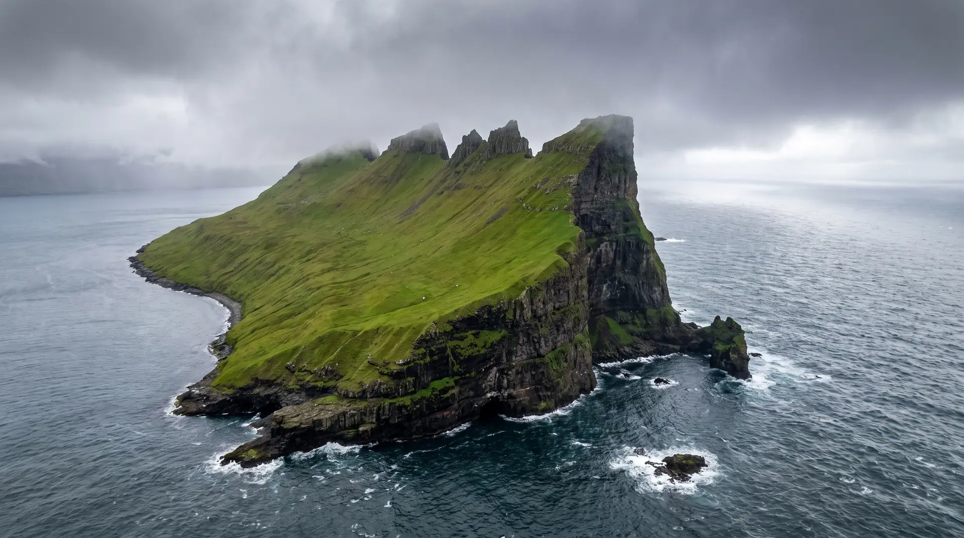
- 70–200mm from the path
- 24–70mm from the boat
- ND for swell
The tour operators prohibit drones here, and a fine may follow.
May–June evenings · autumn swell before tours end on 1 October
62.08° N · 7.41° W
Surrounding villages, hikes, and weather overlays — open the full atlas to explore in motion.
Within an
afternoon's drift.
The gate in the sea.
“The Atlantic spent an ice age drilling one clean arch, then left it standing as a door.”
Drangarnir is what remains of a headland the sea disagreed with. Two stacks — the big one pierced by an arch, the small one biding its time — stand in the sound where the swell squeezes between Vágar and Tindhólmur, accelerating as it goes.
You cannot simply walk there. The coastal route crosses private outfield, so access runs through guided hikes on fixed days or boats out of Sørvágur. It is the rare famous place that still requires an appointment, and it is better for it.