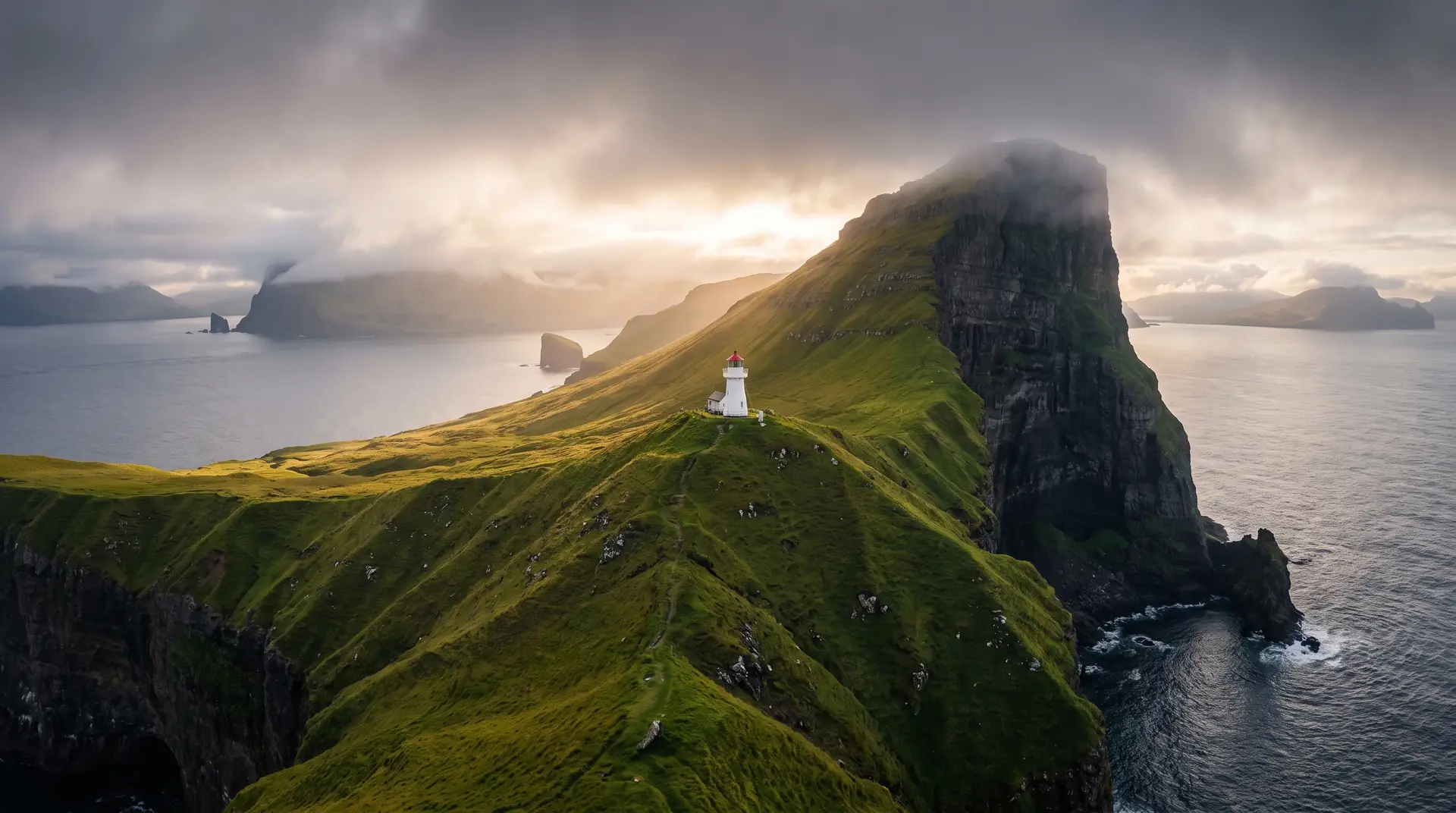
Kallur Lighthouse.
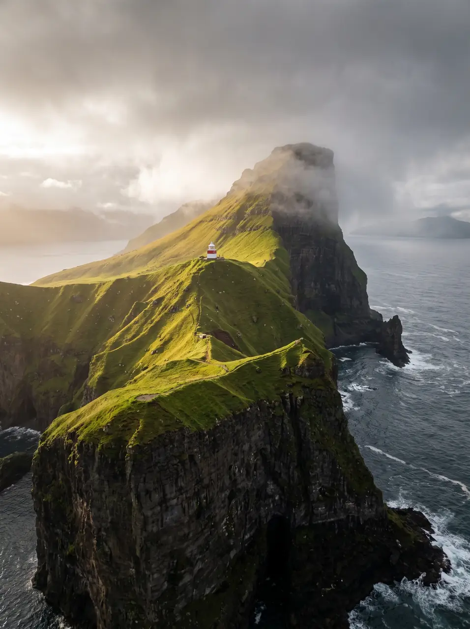
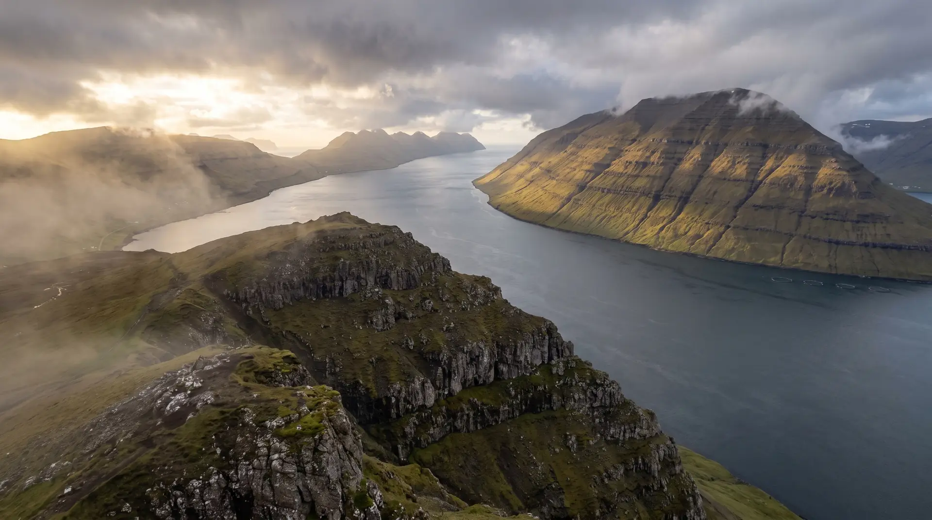
A lonely cliffside lighthouse suspended above the North Atlantic.
At the northern tip of Kalsoy, a thin white tower stands at the edge of a 200-metre cliff. The walk is short but exposed — and the weather rewrites the place every hour.
- 01Best experienced when fog drifts in from the north
- 02Dramatic western winds shape every photograph
- 03Iconic for cinematic Faroese landscape work
- 04Isolated — you may have it entirely to yourself
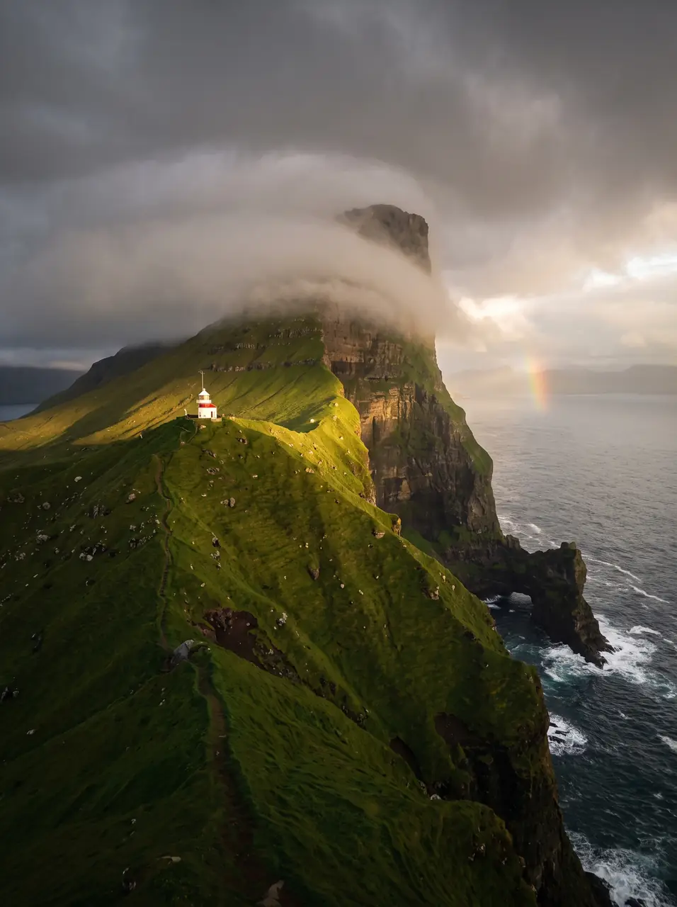
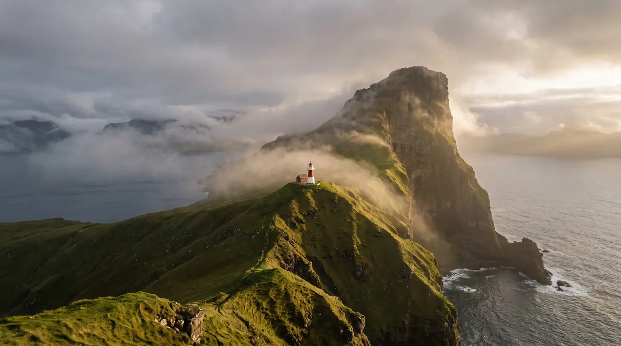
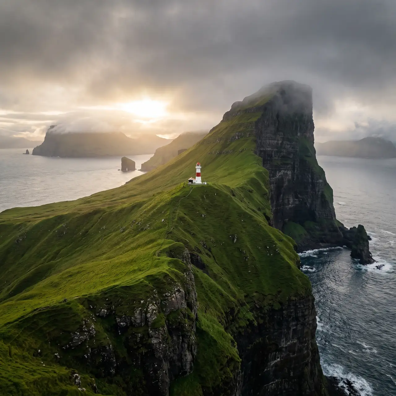
The place, as it lets itself be seen.
How the weather
behaves here.
Read the air before you arrive. Fronts pass fast in the Faroes — fog, wind, and light can rewrite this place within an hour.
How to arrive,
how to stay.
- Access
- Ferry to Syðradalur, then road to Trøllanes
- Parking
- Small lot at Trøllanes · included in the hiking fee
- Ferry
- Klaksvík → Syðradalur · 20 min · fares at ssl.fo
- Fees
- 200 DKK landowner hiking fee · 100 DKK ages 13–17, under 13 free · prebook at hiking.fo or pay on site
- Difficulty
- Moderate
- Duration
- 2 hours return
- Best season
- May–September
- Crowd level
- Quiet
- Drone
- Permitted
- Safety
- Unfenced cliffs · stay back from edges in wind
A field guide
for the light.
Low cloud with breaking light from the west. Use the ridge as a leading line. Place the lighthouse on the lower third — let the sky do the work.
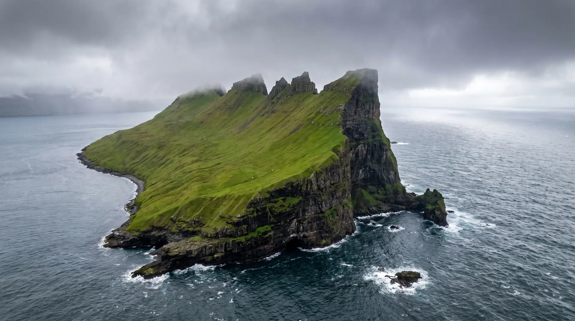
- 16–35mm wide
- 70–200mm compression
- Drone · 24mm equiv.
Launch from the saddle, not the cliff. Wind class B after 18:00.
June for midnight light · October for storm drama
62.37° N · 6.81° W
Surrounding villages, hikes, and weather overlays — open the full atlas to explore in motion.
Within an
afternoon's drift.
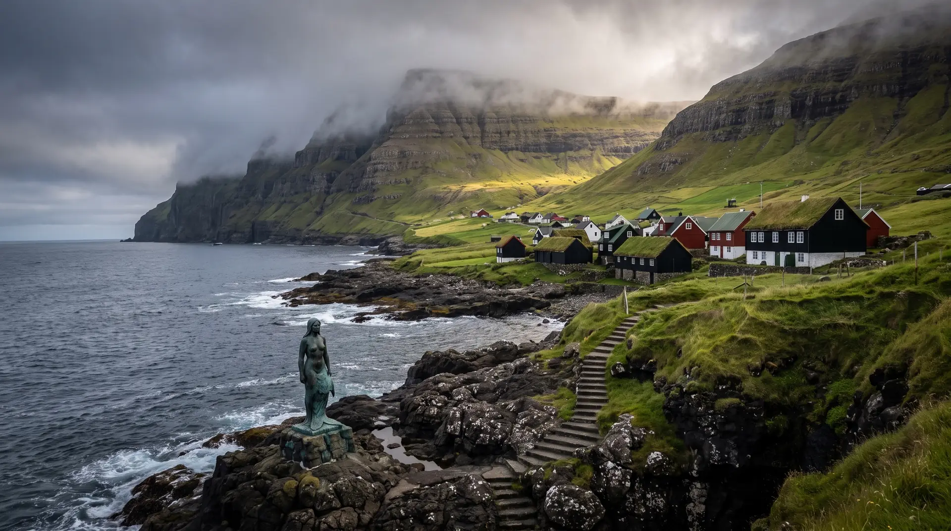
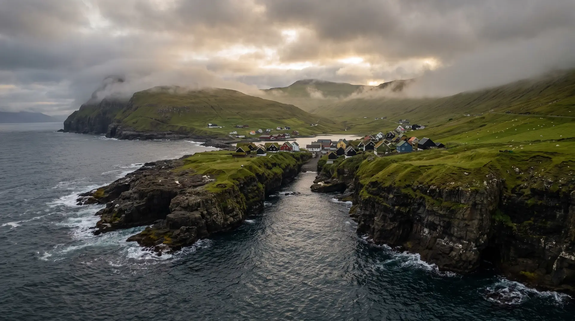
The lighthouse keeps no one.
“It is not the lighthouse you remember. It is the silence between gusts, and the moment the fog opens.”
Kallur is barely a building. A pale tower, a few metres tall, planted on the most dramatic geography in the North Atlantic. There is no keeper. There has not been one in decades. The sea takes care of itself.
The walk in is gentle until it is not. The ground falls away on either side of a narrow ridge — Kallurin — and on a calm day it feels theatrical. On a windy day it feels personal. Locals will tell you the wind has a direction here, and a temperament, and a way of telling you whether you should be standing on the ridge at all.
Wait for the fog. Not the heavy kind that swallows the island, but the thin sea-fog that moves like breath. It lifts. It returns. It edits the view between exposures.