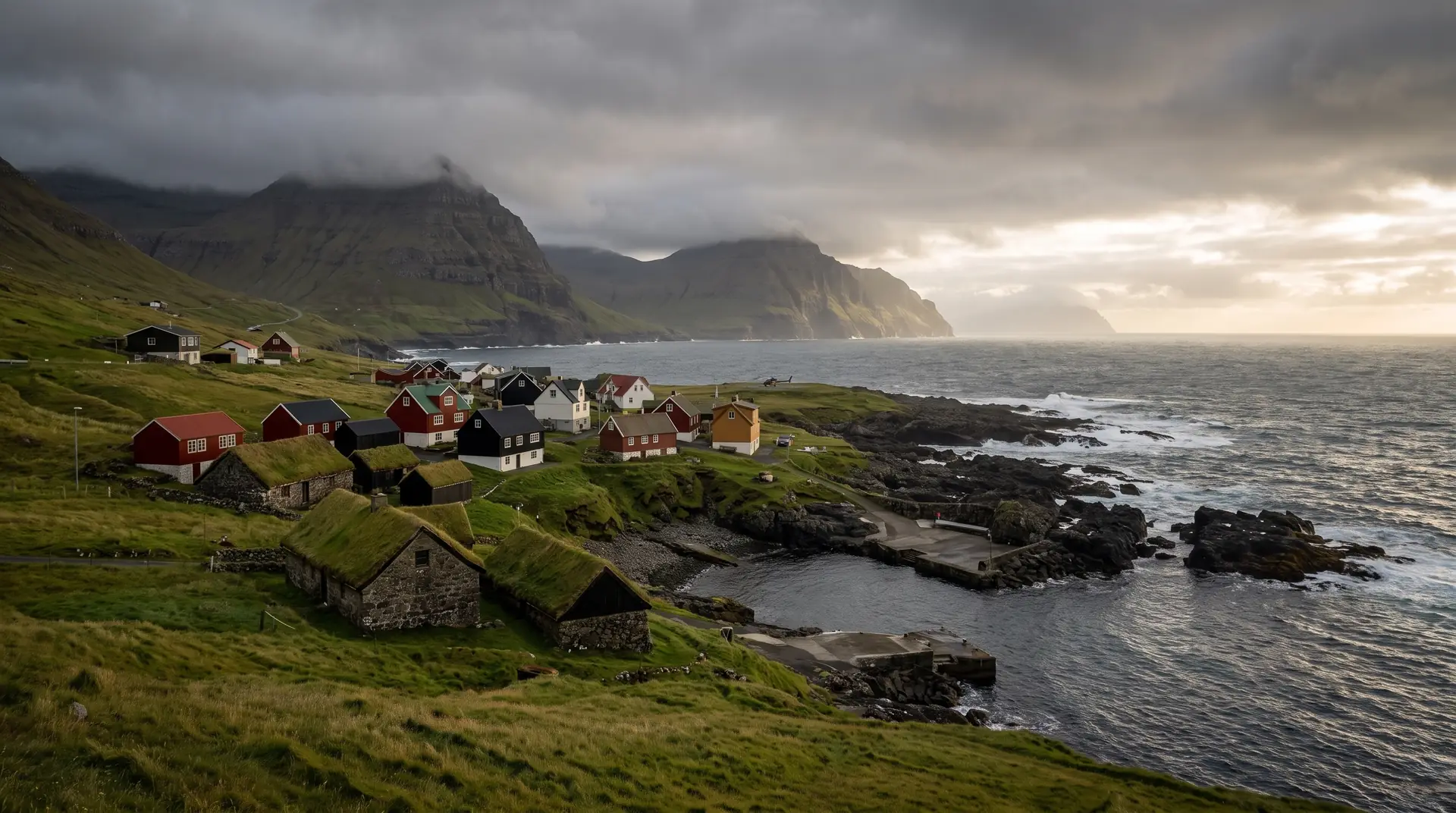
Svínoy.
One village, thirty-one people, and a helicopter timetable instead of a road.
Svínoy is the first call on the outer-island boat from Hvannasund — thirty minutes across open water to a single settlement with no car roads and a school that has gone years without pupils.
- 01Footpaths only — the island never needed a road
- 02The boat and the helicopter are the entire timetable
- 03Seabird noise carries further than anything human here
- 04Arriving is straightforward; leaving depends on the sea
The place, as it lets itself be seen.
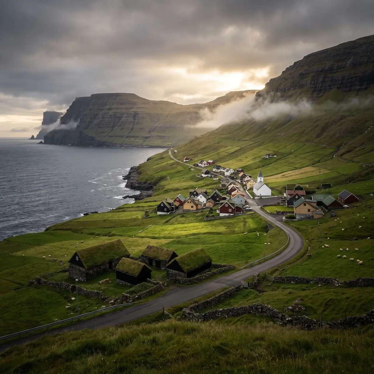
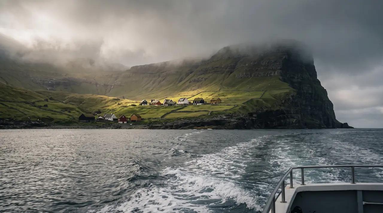
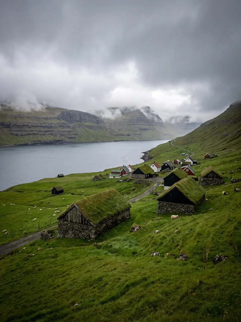
How the weather
behaves here.
Read the air before you arrive. Fronts pass fast in the Faroes — fog, wind, and light can rewrite this place within an hour.
How to arrive,
how to stay.
- Access
- Hvannasund on Viðoy, then the passenger boat or the Atlantic Airways helicopter
- Parking
- At Hvannasund harbour
- Ferry
- Route 58 Hvannasund → Svínoy · 30 min · roughly three sailings a day in summer, some by request only
- Fees
- Around 40 DKK each way on the boat; the helicopter runs to several hundred kroner for visitors — check ssl.fo and Atlantic Airways
- Difficulty
- Moderate
- Duration
- 3–5 hours ashore, set by the sailings
- Best season
- June–August
- Crowd level
- Quiet
- Drone
- Restricted
- Safety
- No shelter, no shop and no alternative exit if boat and helicopter both stand down
A field guide
for the light.
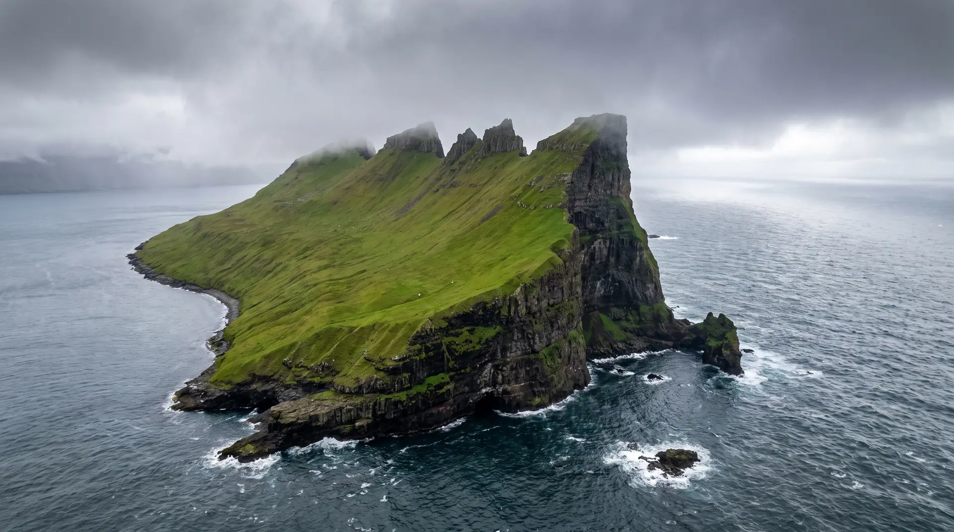
Flat cloud with one shaft finding the village roofs. Wait on the slope above the landing — the incoming boat is the only scale the island will give you.
- 24–70mm standard
- 70–200mm from the slope
- Fast glass for grey days
150 m from the village and under 120 m · check the helicopter schedule before anything leaves the ground.
June–July · light and sailings both at their best
62.28° N · 6.34° W
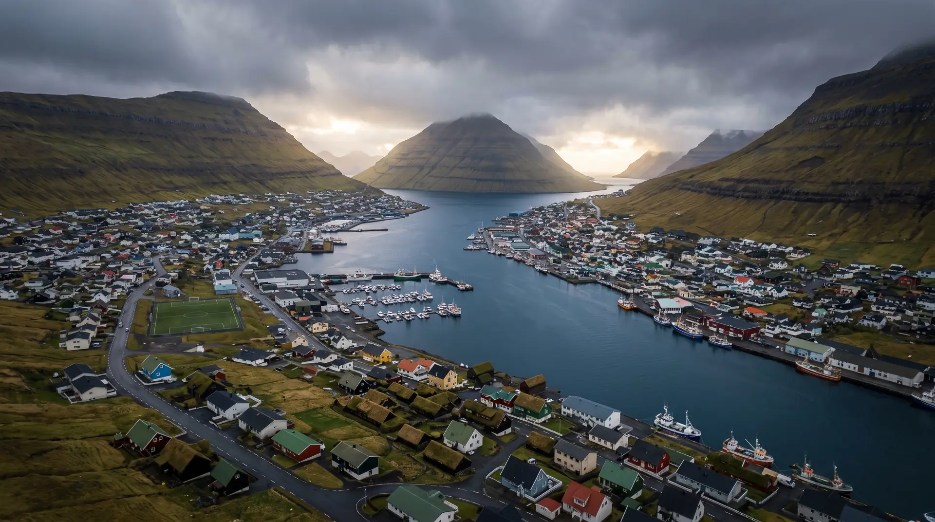
Surrounding villages, hikes, and weather overlays — open the full atlas to explore in motion.
Within an
afternoon's drift.
Thirty-one, and the helicopter.
“Isolation here is not a mood. It is a timetable with three lines on it.”
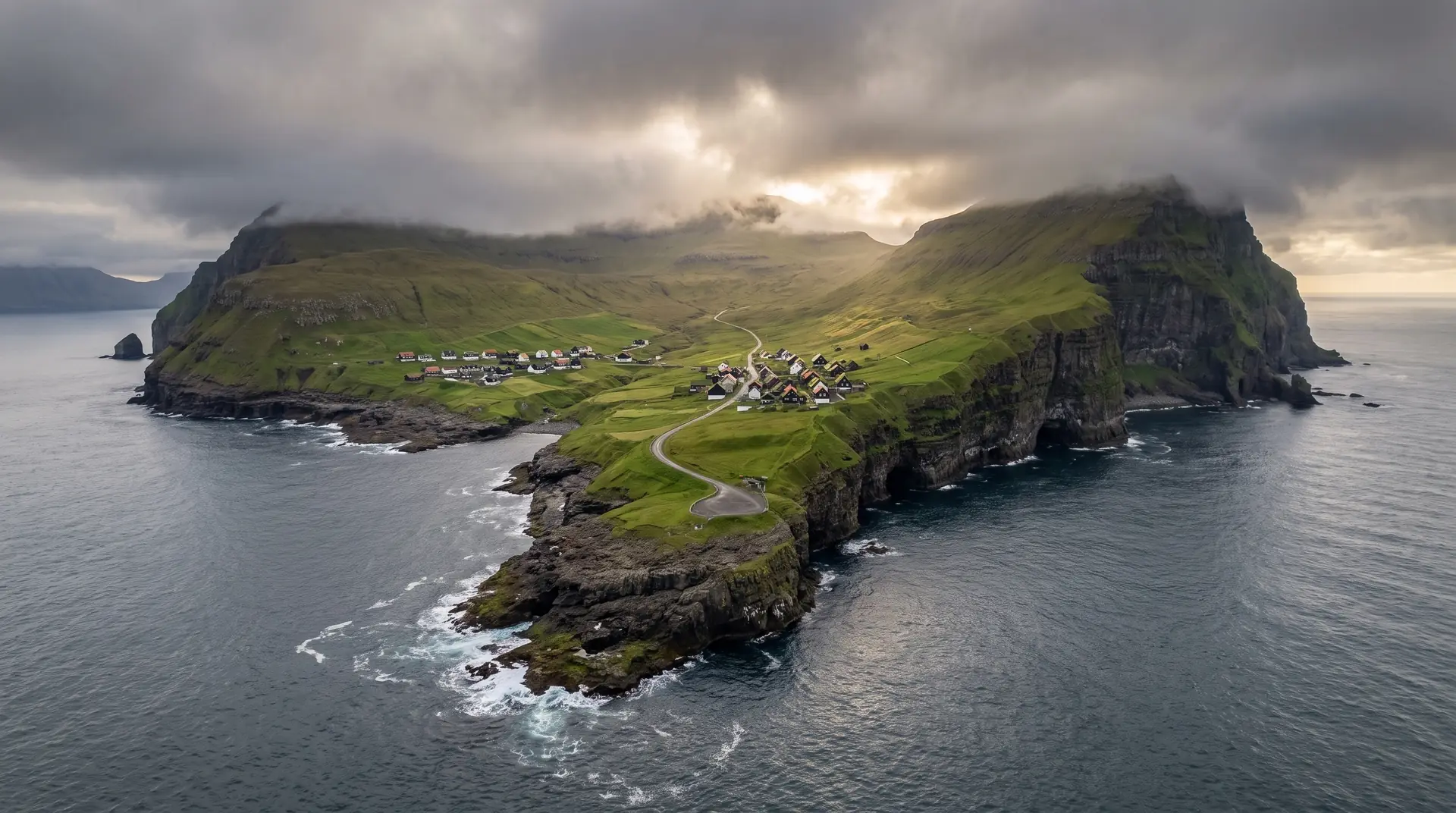
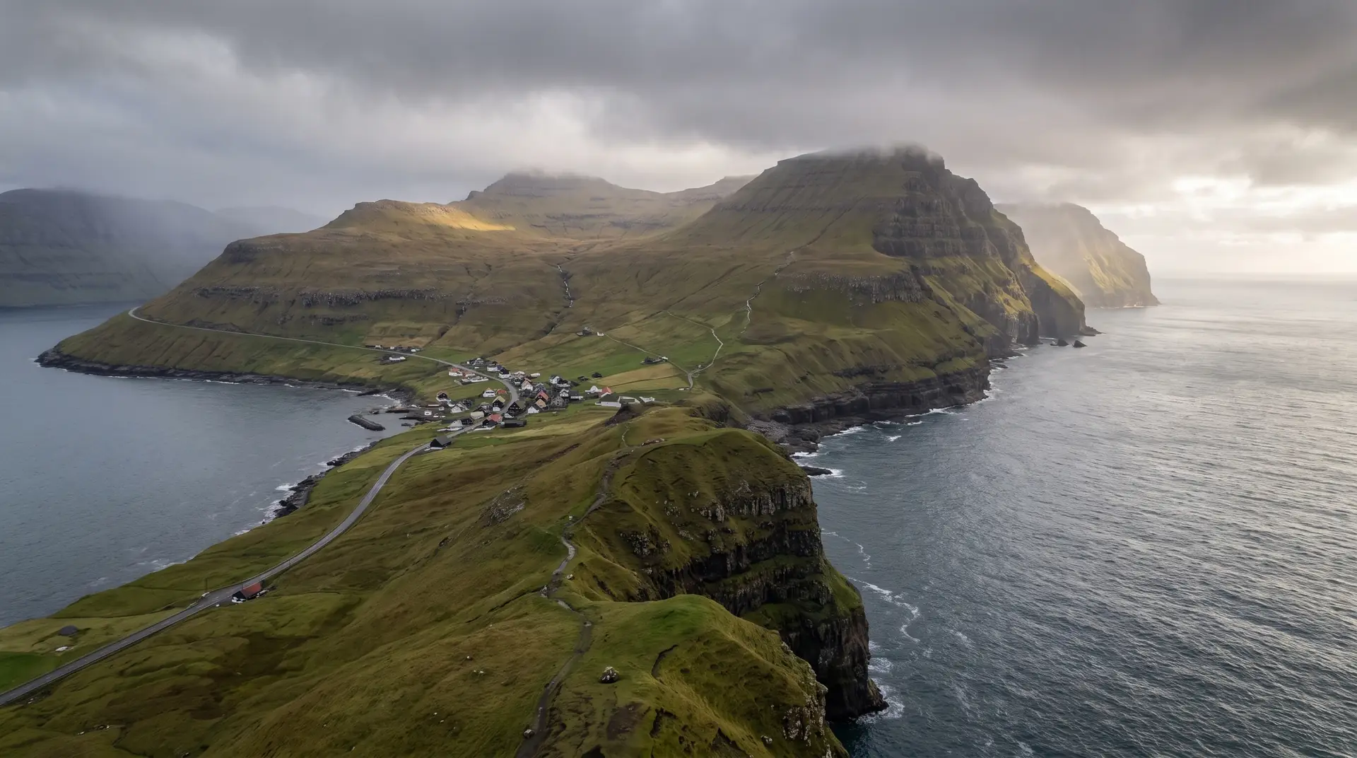
Svínoy sits between Viðoy and Fugloy, thirty minutes out of Hvannasund on the passenger boat, and it holds one inhabited village of about thirty-one people. There is no car road, no bus, no shop worth the name. The school has had years with nobody to teach.
The island is on the national helicopter network — a public heliport, subsidised seats for residents, a fare that visitors feel — and between the boat and the aircraft you get a country’s worth of logistics compressed into one settlement. Faroese remoteness is rarely about distance; it is about how many things have to agree before you can leave.
For a photographer the reward is emptiness that reads as deliberate rather than derelict. Houses, drying racks, a harbour wall, and above them ground that keeps no path at all.