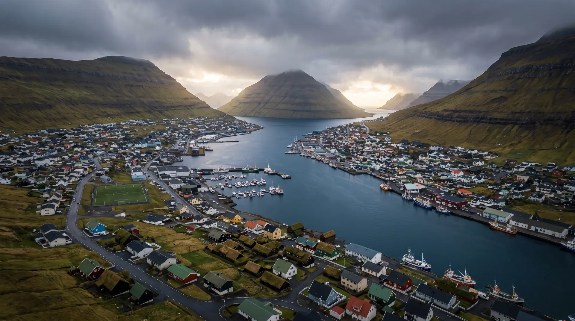
Klaksvík.
The fishing capital, moored between two fjords.
Five thousand people, the islands’ most serious fishing fleet, and the gateway to the six northern islands — Klaksvík is Tórshavn’s working counterweight.
- 01Trawlers unload while hikers wait for the Kalsoy ferry
- 02Christianskirkjan’s rowing boat hangs from the church roof
- 03The brewery has poured Føroya Bjór since 1888
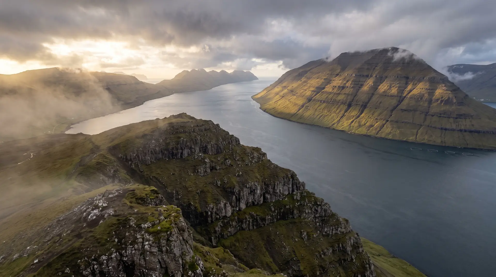
- 04Klakkur watches over the town like a pet mountain
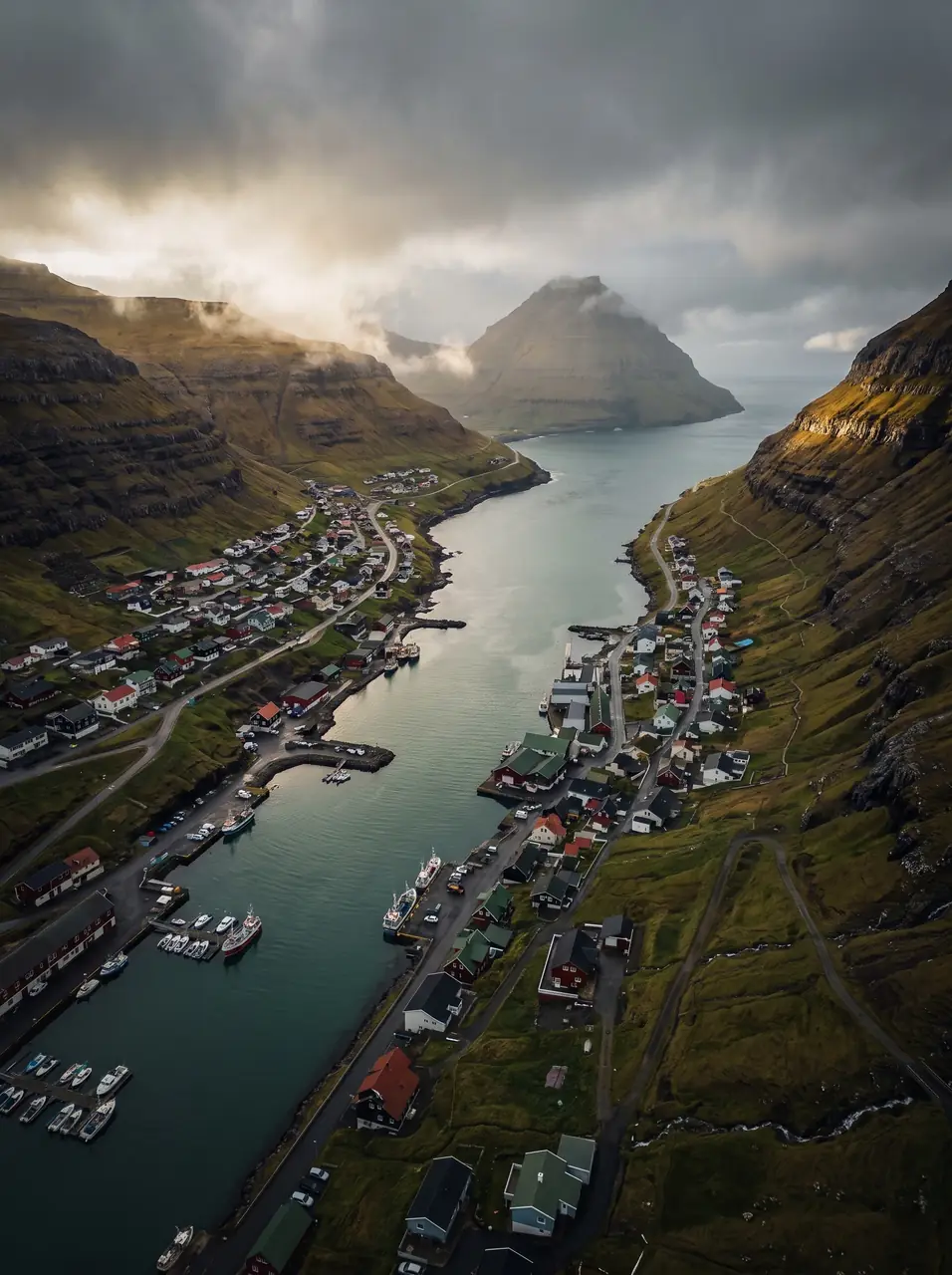
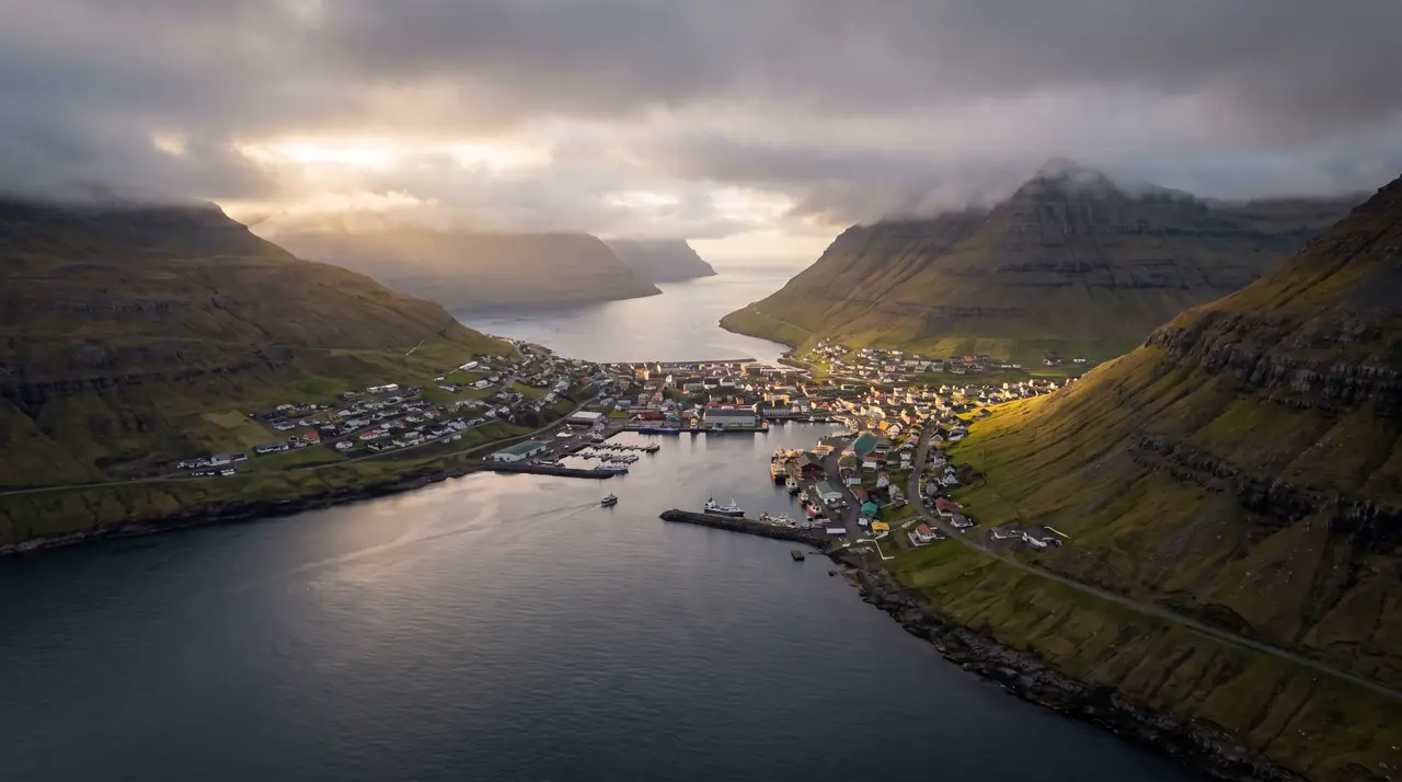
The place, as it lets itself be seen.
How the weather
behaves here.
Read the air before you arrive. Fronts pass fast in the Faroes — fog, wind, and light can rewrite this place within an hour.
How to arrive,
how to stay.
- Access
- Norðoyatunnilin from Eysturoy · toll billed by plate
- Parking
- Free lots by the harbour
- Ferry
- Klaksvík → Syðradalur (Kalsoy) · 20 min
- Difficulty
- Easy
- Duration
- Half a day + ferry connections
- Best season
- Year-round
- Crowd level
- Moderate
- Drone
- Restricted
- Safety
- Working harbour · stay off the quays during landings
A field guide
for the light.
Working light — orange cranes, wet decks, mountain backdrop. Shoot the fleet against Kunoy’s wall from the eastern quay at dusk.
- 24–70mm standard
- 35mm prime for the harbour
Harbour and town are dense — the fjord mouths are cleaner air.
Any · this is a town that works in weather
62.23° N · 6.58° W
Surrounding villages, hikes, and weather overlays — open the full atlas to explore in motion.
Within an
afternoon's drift.
The town that fishes.
“Tórshavn governs the islands. Klaksvík feeds them.”
Klaksvík’s harbour is the real thing: pelagic trawlers the size of apartment blocks, a slipway that never quite dries, and an economy you can watch being landed by the crate. The town wraps around its double-ended harbour in a valley between two fjords — ships can enter from either end of town.
In Christianskirkjan, one of the north’s most striking modern churches, an eight-man rowing boat hangs from the ceiling — the old funeral boat of the outer islands, retired to the rafters. It is the region’s history in one object: the sea as road, provider and undertaker.