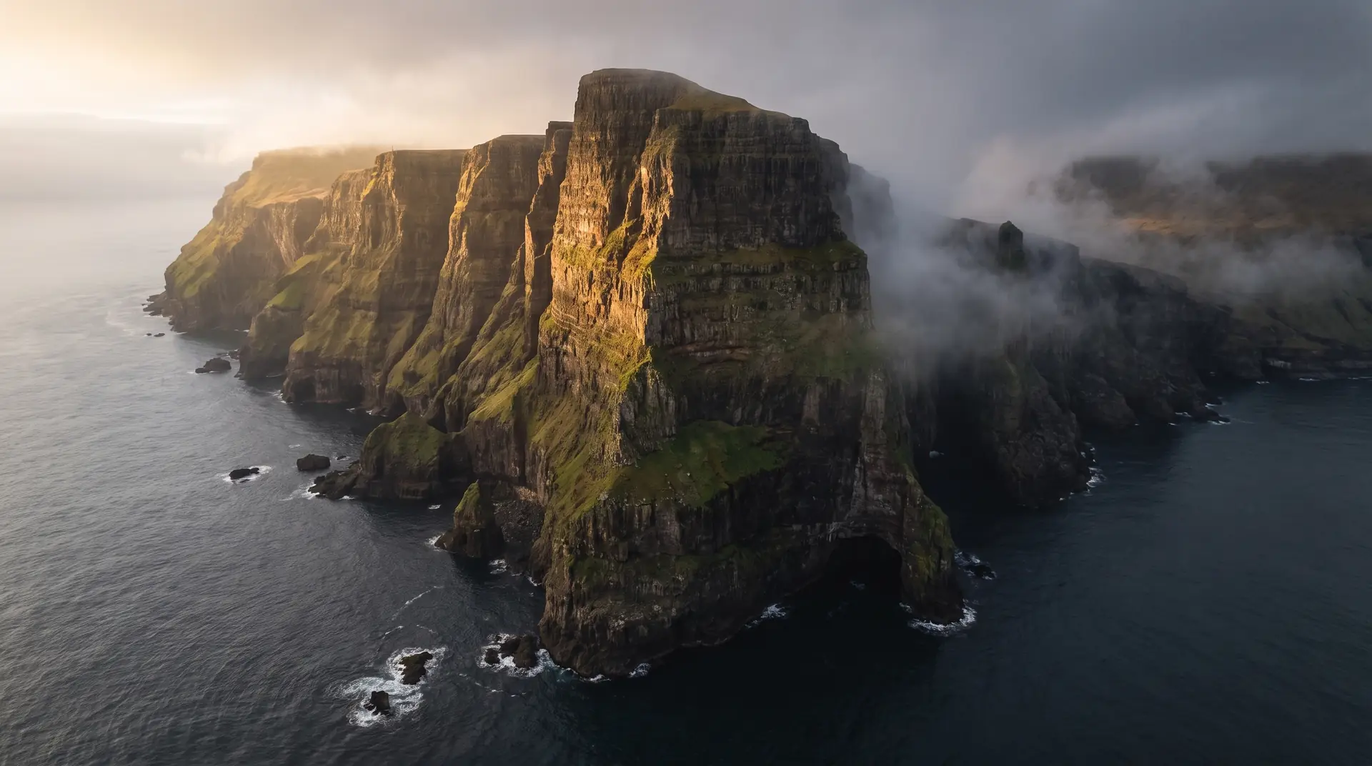
Beinisvørð.
The southern island’s 470-metre exclamation mark.
Between Lopra and Sumba, Suðuroy’s west coast climbs to Beinisvørð — 470 metres of sheer basalt, the highest cliff on the island, with a viewpoint on the old mountain road.
- 01The old road serves the view now — the tunnel took the traffic
- 02Puffins and fulmars ride the updraft below the lip
- 03Suðuroy’s poets wrote this cliff into the national songbook
- 04You will likely have it alone
The place, as it lets itself be seen.
How the weather
behaves here.
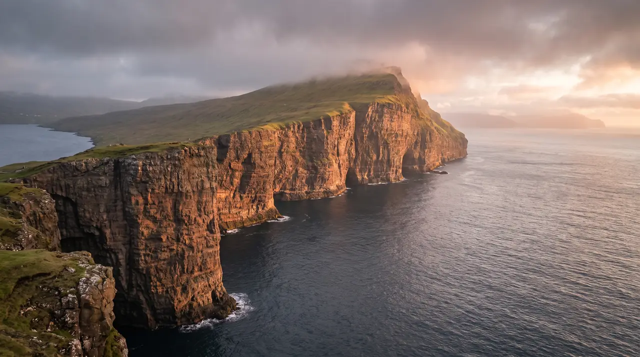
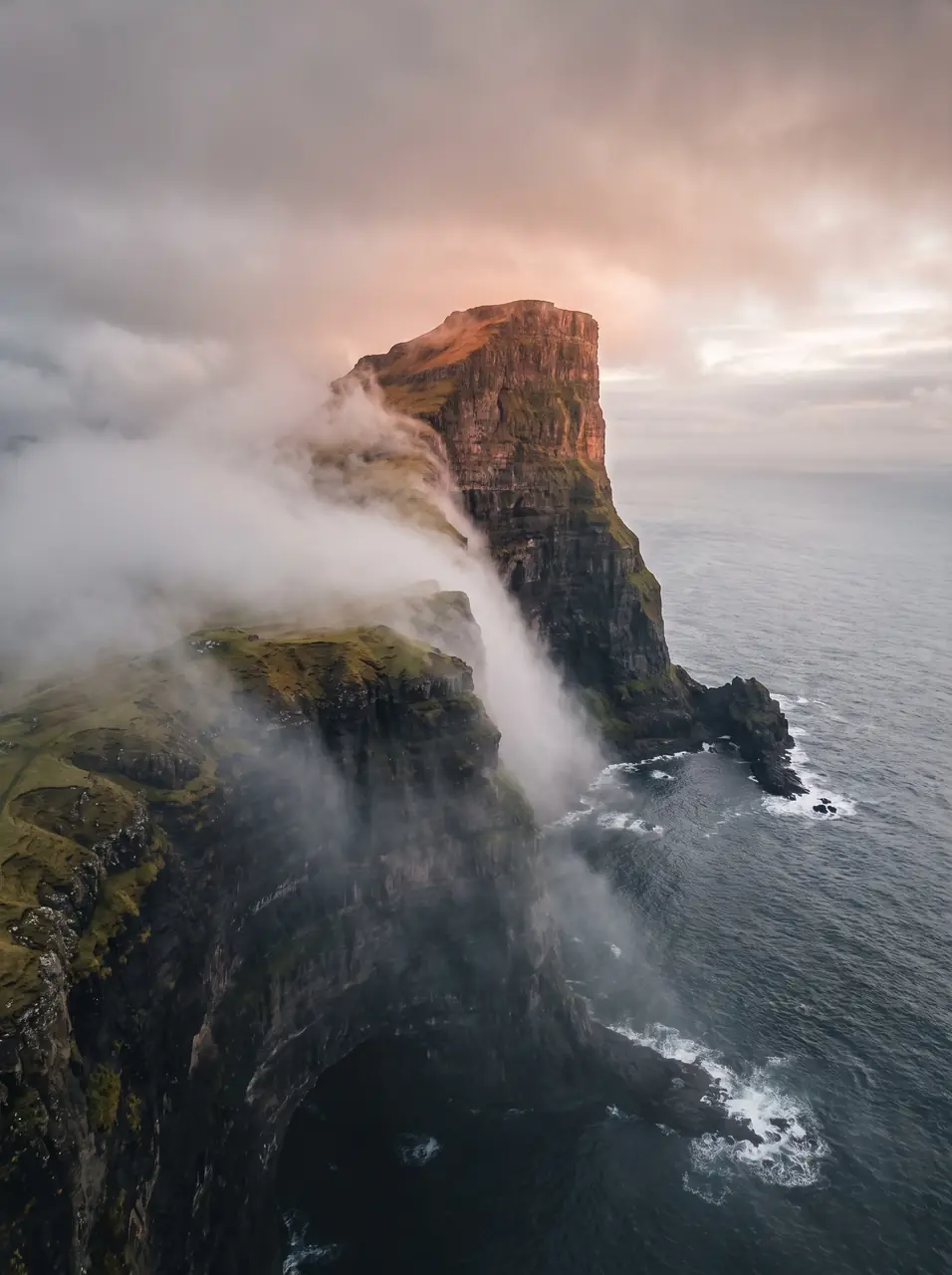
Read the air before you arrive. Fronts pass fast in the Faroes — fog, wind, and light can rewrite this place within an hour.
How to arrive,
how to stay.
- Access
- Old mountain road between Lopra and Sumba · 2h ferry to Suðuroy first
- Parking
- Pull-offs at the viewpoint bends
- Ferry
- Tórshavn → Krambatangi · 2 h 05 · fares at ssl.fo
- Difficulty
- Easy
- Duration
- 30–60 min at the edge
- Best season
- May–September
- Crowd level
- Quiet
- Drone
- Restricted
- Safety
- The updraft is deceptive · never approach the lip in gusts
A field guide
for the light.
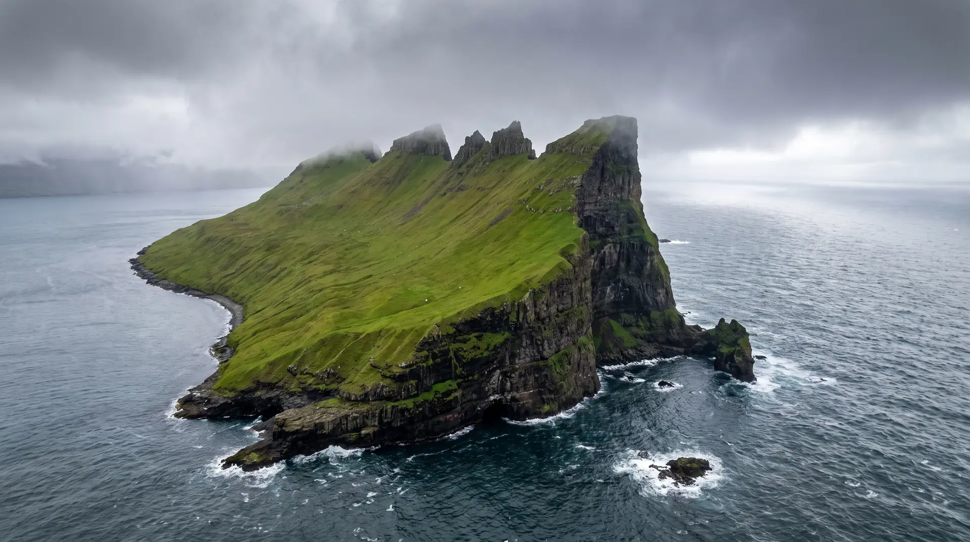
West light — the wall goes copper for the last hour. Walk the old road south until the full face stacks in profile — the classic Suðuroy frame.
- 16–35mm at the edge
- 70–200mm along the wall
Nesting ledges below — keep wide and seaward if you fly at all.
June–July · sunset aligns with the wall
61.42° N · 6.76° W
Surrounding villages, hikes, and weather overlays — open the full atlas to explore in motion.
Within an
afternoon's drift.
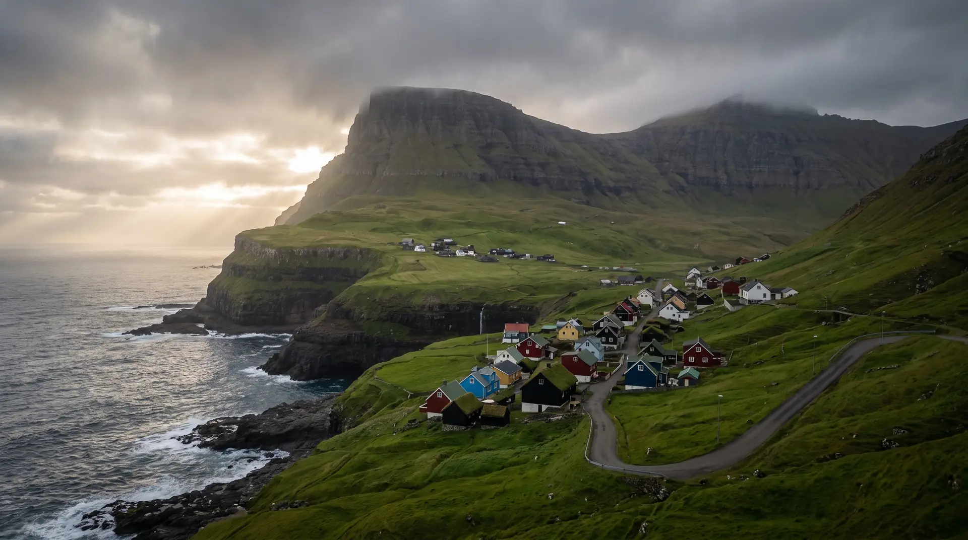
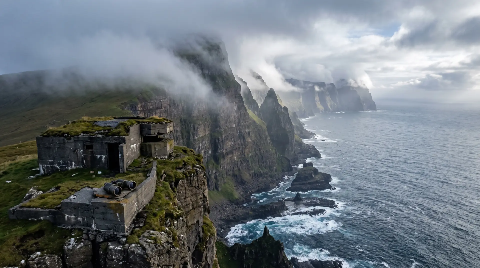
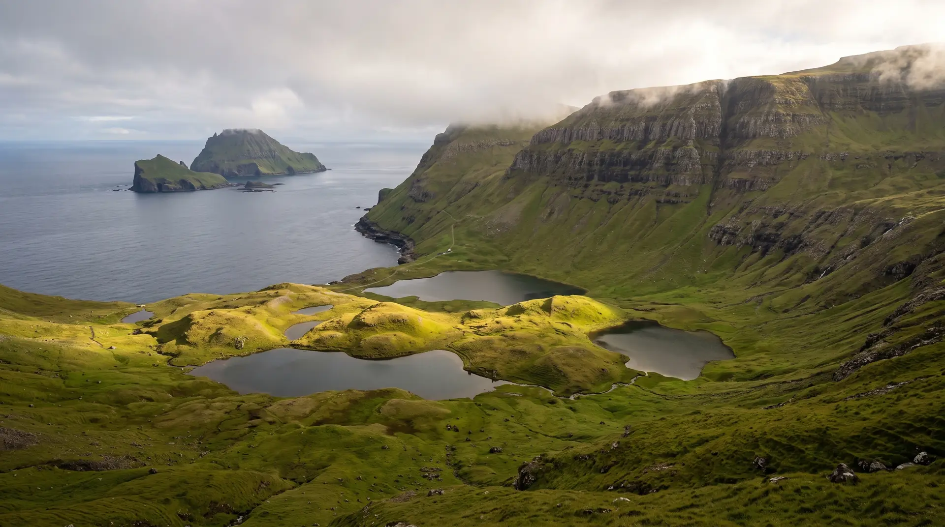
The south’s standing wave.
“The other islands hide their biggest cliffs at their ends. Suðuroy hangs one beside the road.”
Beinisvørð is Suðuroy’s signature — a 470-metre curtain of basalt that the island’s poets treated the way other literatures treat rivers. Fowlers once worked its ledges on hand-laid ropes; their names survive in songs the island still sings.
The visit is disproportionately easy for what you get. The old high road between Lopra and Sumba — bypassed by the tunnel — now exists mainly to deliver you to the brink. Two hours of ferry keep the crowds where the crowds are, which is elsewhere.