Hvannhagi.
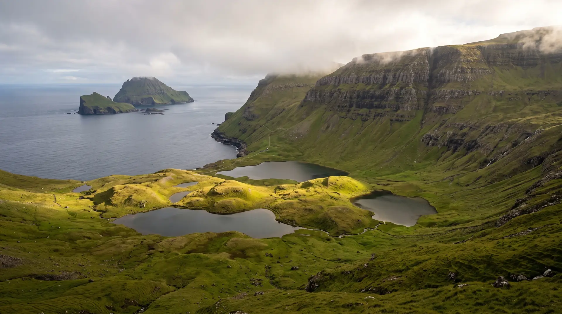
A landslide-built amphitheatre facing the two Dímuns.
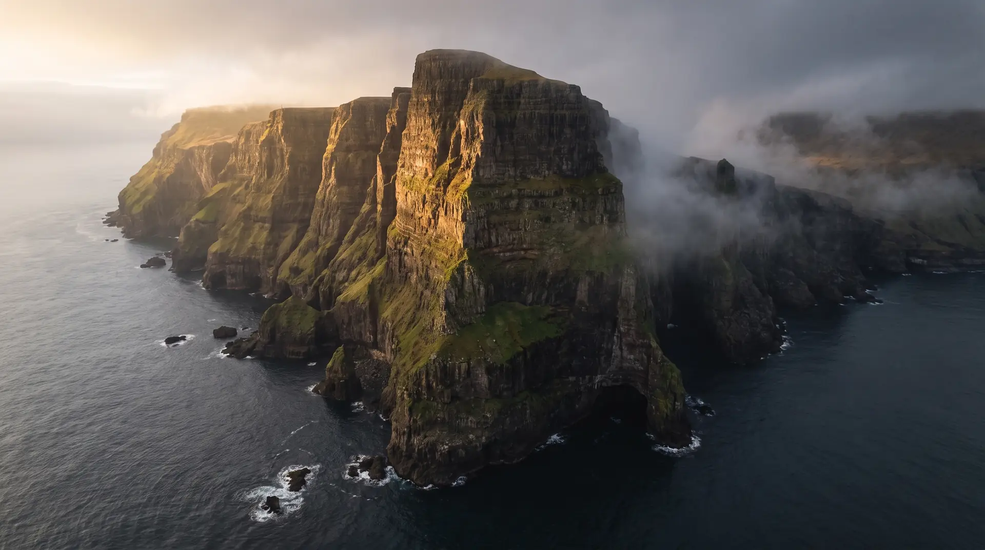
An hour’s walk from Tvøroyri, the land collapses into Hvannhagi — a green basin of tumbled rock and lake, looking out at Lítla Dímun and Stóra Dímun standing in the sea.
- 01Geology mid-sentence — the slump blocks still look paused
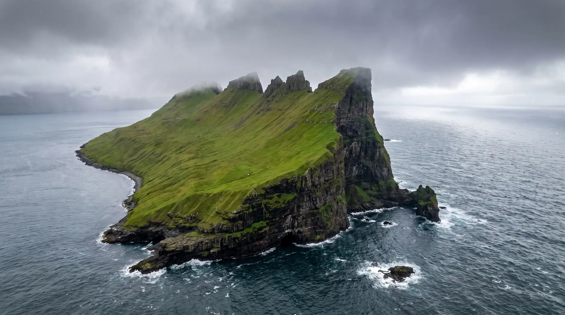
- 02Lítla Dímun: the only uninhabited Faroe, wearing its cloud cap
- 03Sheep tracks are the only paths
- 04On-foot only — the basin has no road and wants none
The place, as it lets itself be seen.
How the weather
behaves here.
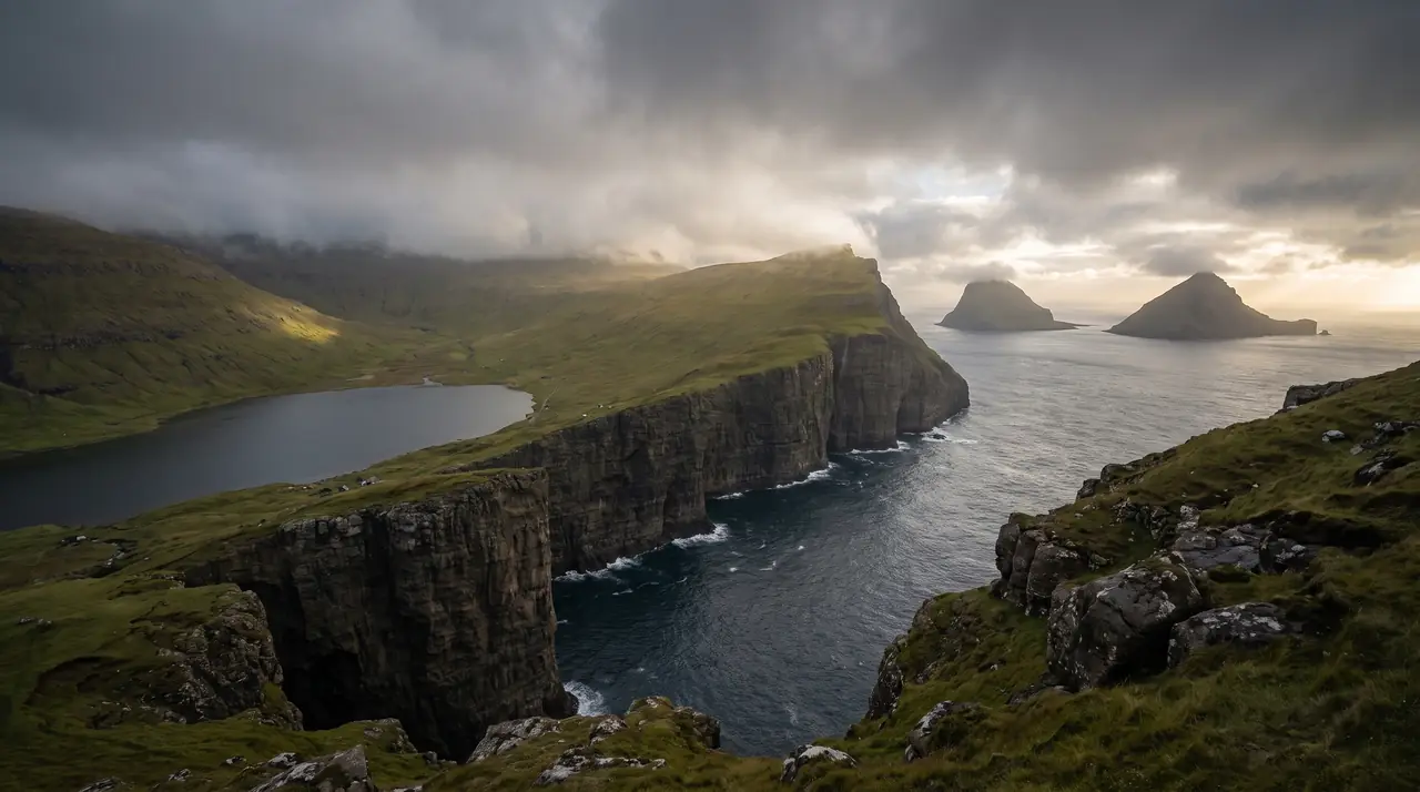
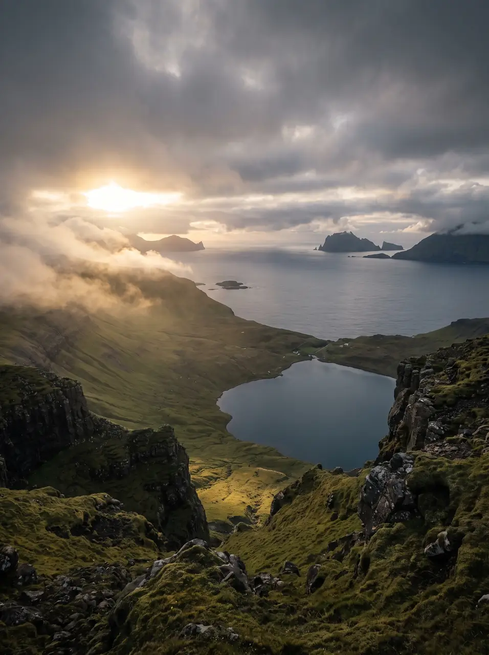
Read the air before you arrive. Fronts pass fast in the Faroes — fog, wind, and light can rewrite this place within an hour.
How to arrive,
how to stay.
- Access
- Marked trail from Tvøroyri · ~3 km each way · on foot only
- Parking
- In Tvøroyri near the trailhead
- Ferry
- Tórshavn → Tvøroyri · 2 h
- Difficulty
- Moderate
- Duration
- 2 hours · 6 km return · 230 m up
- Best season
- May–September
- Crowd level
- Quiet
- Drone
- Permitted
- Safety
- Steep, occasionally muddy descent into the basin · poles help
A field guide
for the light.
Side-light on the slump blocks with the Dímuns in silhouette. Use the lake as foreground and let the two islands punctuate the horizon at thirds.
- 24–70mm standard
- 70–200mm for the Dímuns
Open airspace — mind rotor gusts inside the basin walls.
June · angelica in flower (the name means angelica pasture)
61.58° N · 6.82° W
Surrounding villages, hikes, and weather overlays — open the full atlas to explore in motion.
Within an
afternoon's drift.
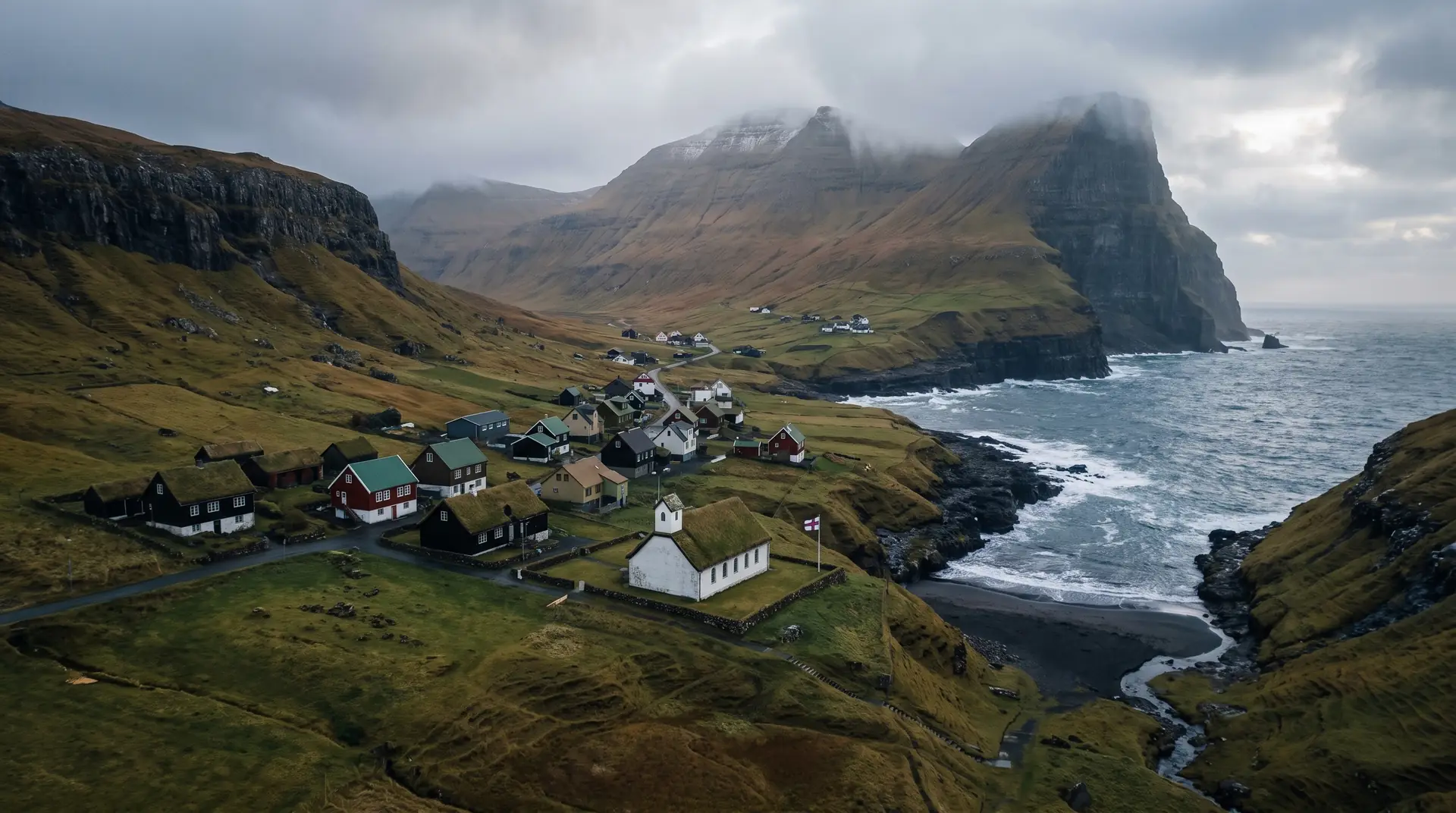
The bay the mountain dropped.
“Half a hillside let go, and the island kept the wreckage as a garden.”
Hvannhagi is what remains of a geological decision: at some point a flank of Suðuroy slumped seaward, leaving an amphitheatre of stacked blocks, a lake, and grass in every crevice — named for the wild angelica, hvonn, that grows fat here out of the wind.
The basin faces the islands’ strangest pair. Stóra Dímun, sheer-sided, farmed by a single family reachable mostly by helicopter; Lítla Dímun, sheerer still, populated only by sheep and almost always wearing a lenticular cloud like a private weather system. There are Faroese views with more scale. There is none with more strangeness per kilometre walked.