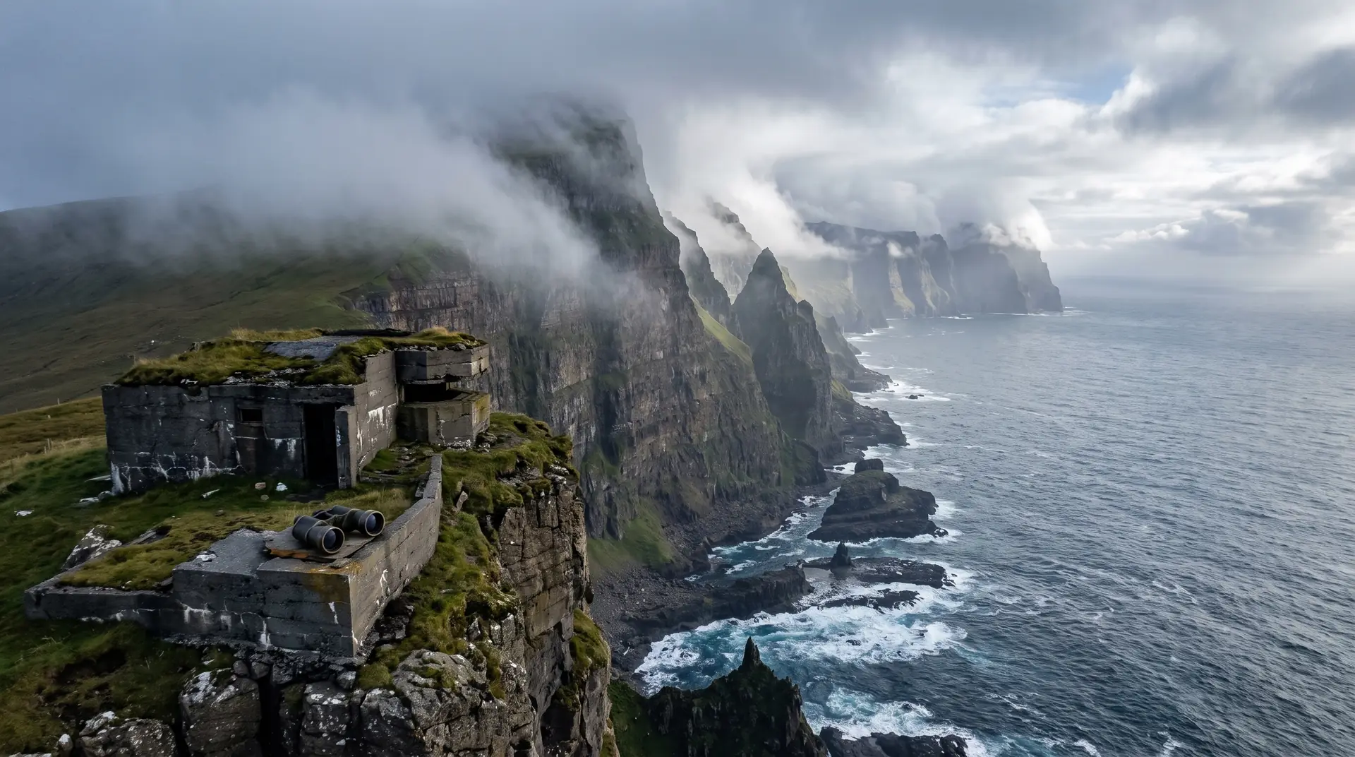
Eggjarnar.
Two hundred metres of cliff, a pair of binoculars, and the concrete a war left.
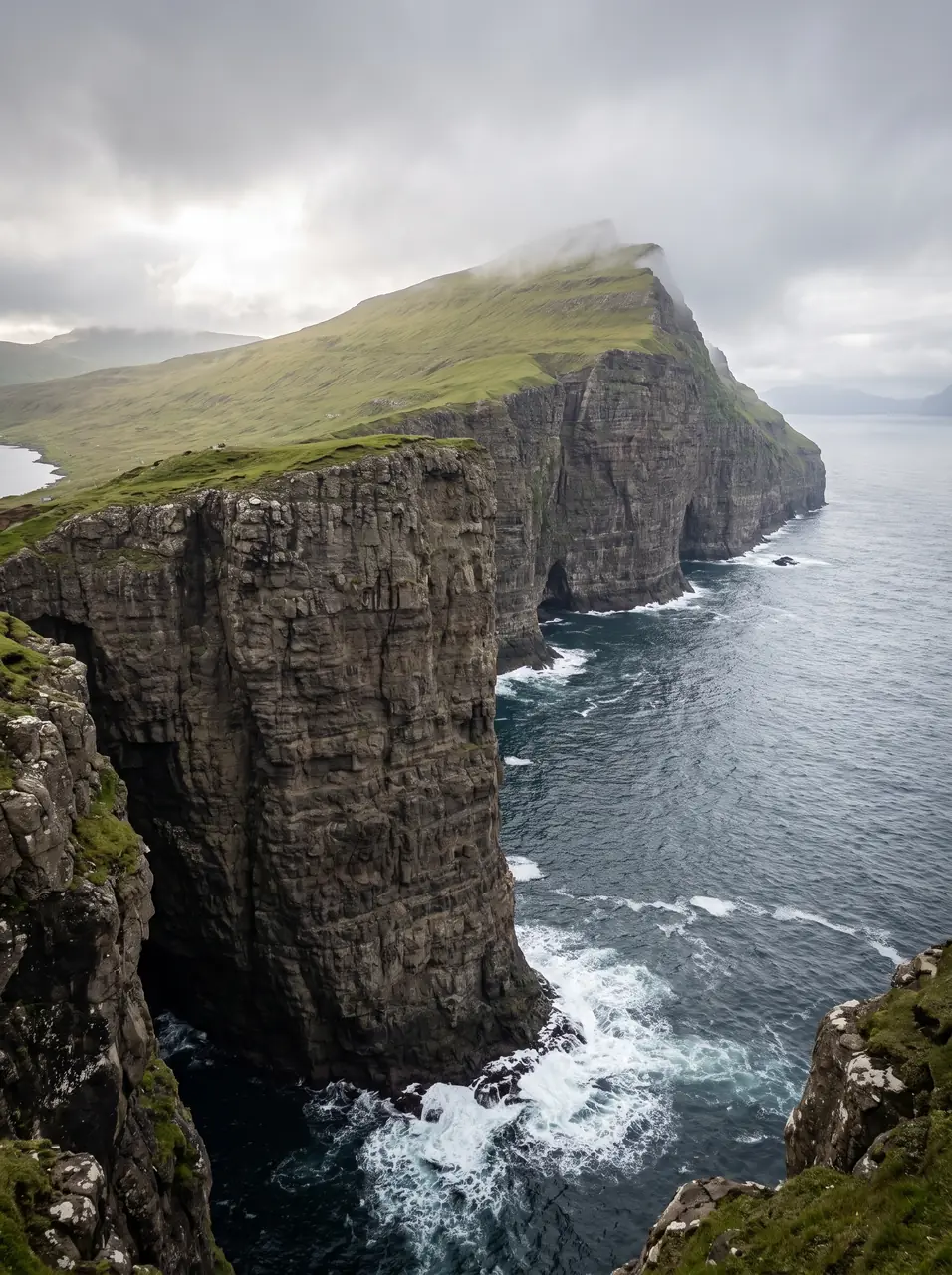
A short steep road climbs out of Vágur to Eggjarnar, where Suðuroy’s west coast drops around 200 metres into the Atlantic. At the road end stand the remains of a LORAN navigation station that operated from 1943 until 1977.
- 01Ten minutes of steep road from Vágur, and the ocean is 200 metres down
- 02Concrete from 1943 keeps the viewpoint company
- 03One of the few great Faroese lookouts you can reach without walking
- 04The wind arrives here with nothing at all in its way
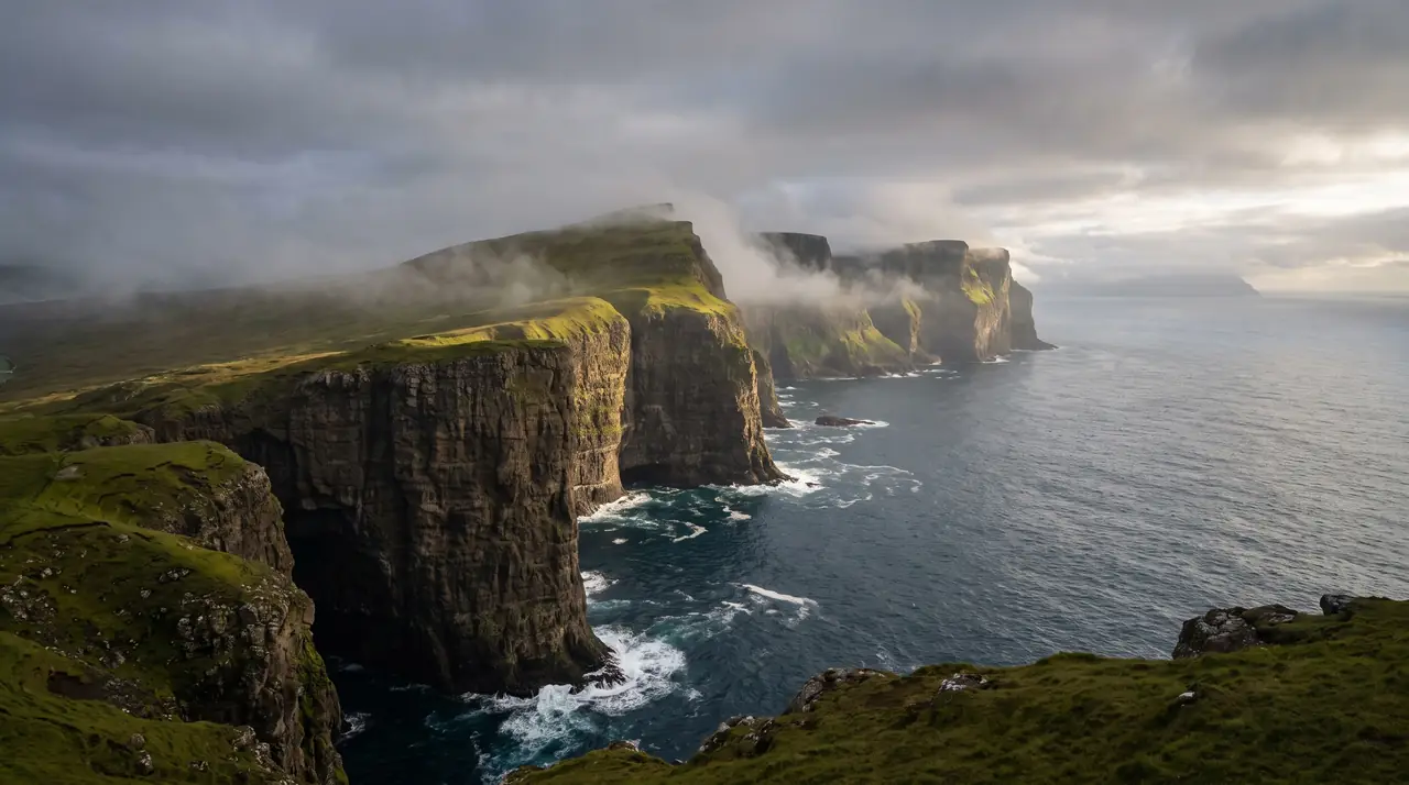
The place, as it lets itself be seen.
How the weather
behaves here.
Read the air before you arrive. Fronts pass fast in the Faroes — fog, wind, and light can rewrite this place within an hour.
How to arrive,
how to stay.
- Access
- Ferry to Krambatangi, then to Vágur and up Eggjarvegur on the south side of the fjord · about 10 min by car, an hour on foot
- Parking
- Small free area at the road end, beside the old station buildings and the viewpoint binoculars
- Ferry
- Tórshavn → Krambatangi · 2 h 05 · 2–3 sailings daily · fares at ssl.fo
- Fees
- Free · the cliffs and the ruins are open ground
- Difficulty
- Easy
- Duration
- 30–60 min at the viewpoint · about 2 hours walking up from Vágur and back
- Best season
- May–September · the road is far more exposed in winter
- Crowd level
- Quiet
- Drone
- Permitted
- Safety
- Unfenced edges, hard Atlantic wind, and wartime structures nobody maintains
A field guide
for the light.
Late sun raking north along the wall — every headland gets its own shadow. Use a concrete footing from the station as foreground and let the cliff line run out of frame: eighty years of history and two hundred metres of drop in one exposure.
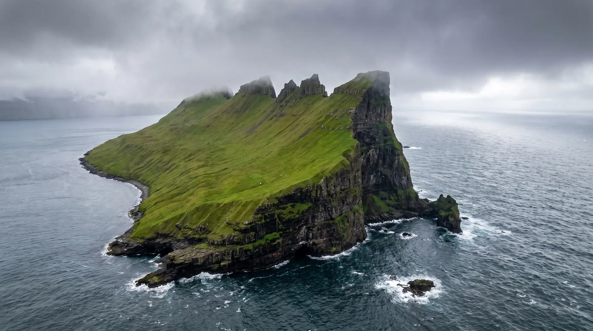
- 16–35mm at the edge
- 70–200mm along the coast
- 24–70mm for the ruins
Open clifftop with no houses inside 150 m · stay under 120 m and respect an updraft that will happily take a drone with it.
June–July for evening light · October for weather
61.46° N · 6.83° W
Surrounding villages, hikes, and weather overlays — open the full atlas to explore in motion.
Within an
afternoon's drift.
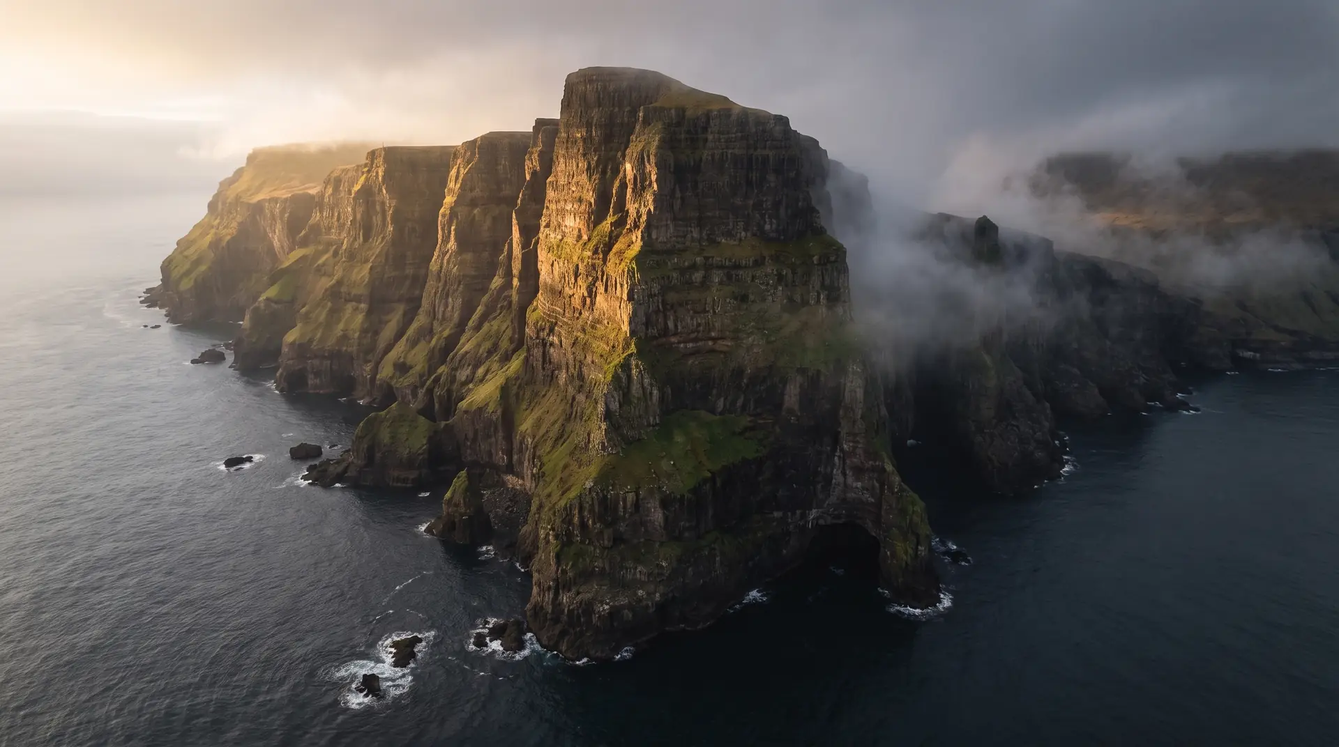
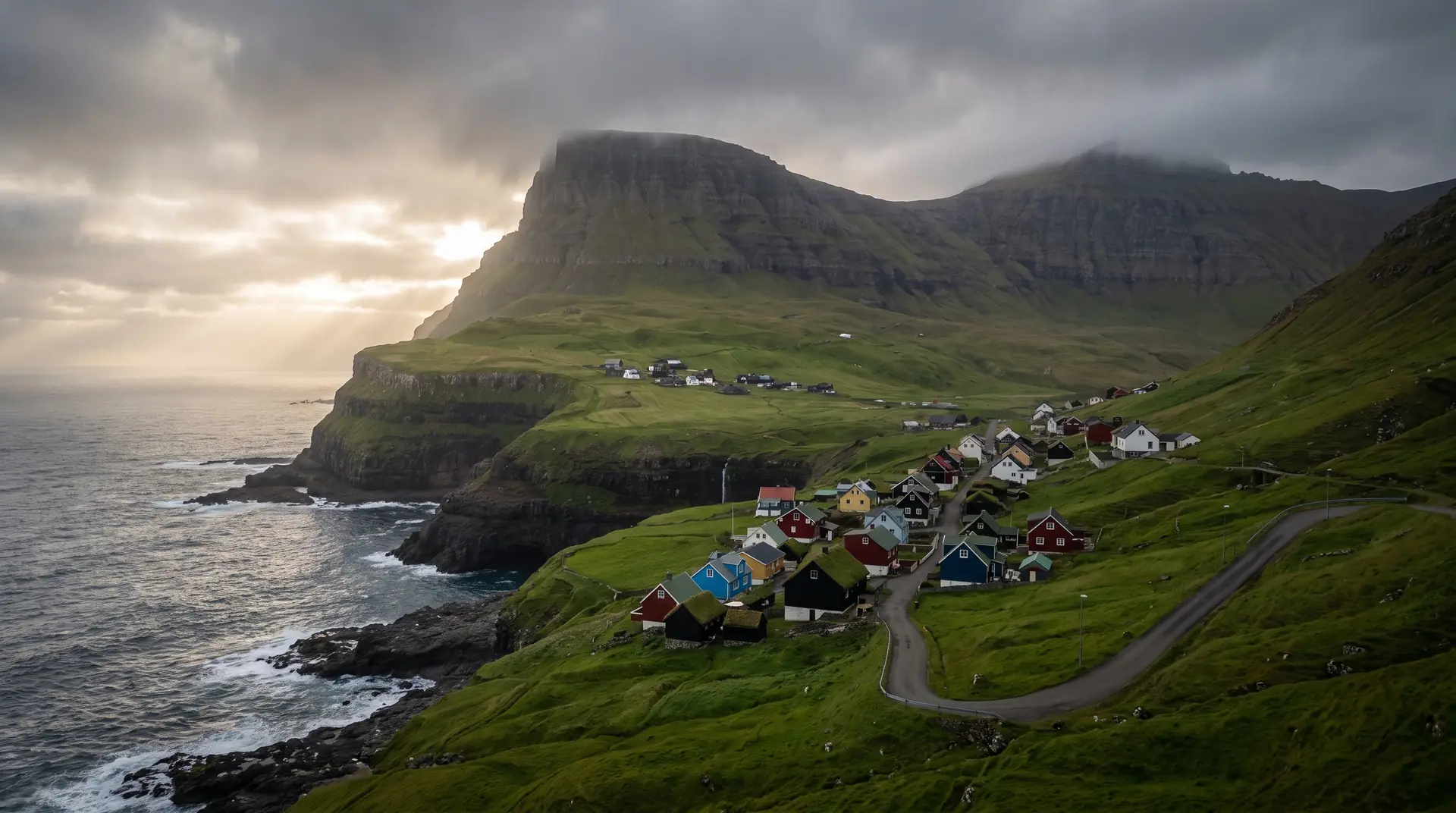
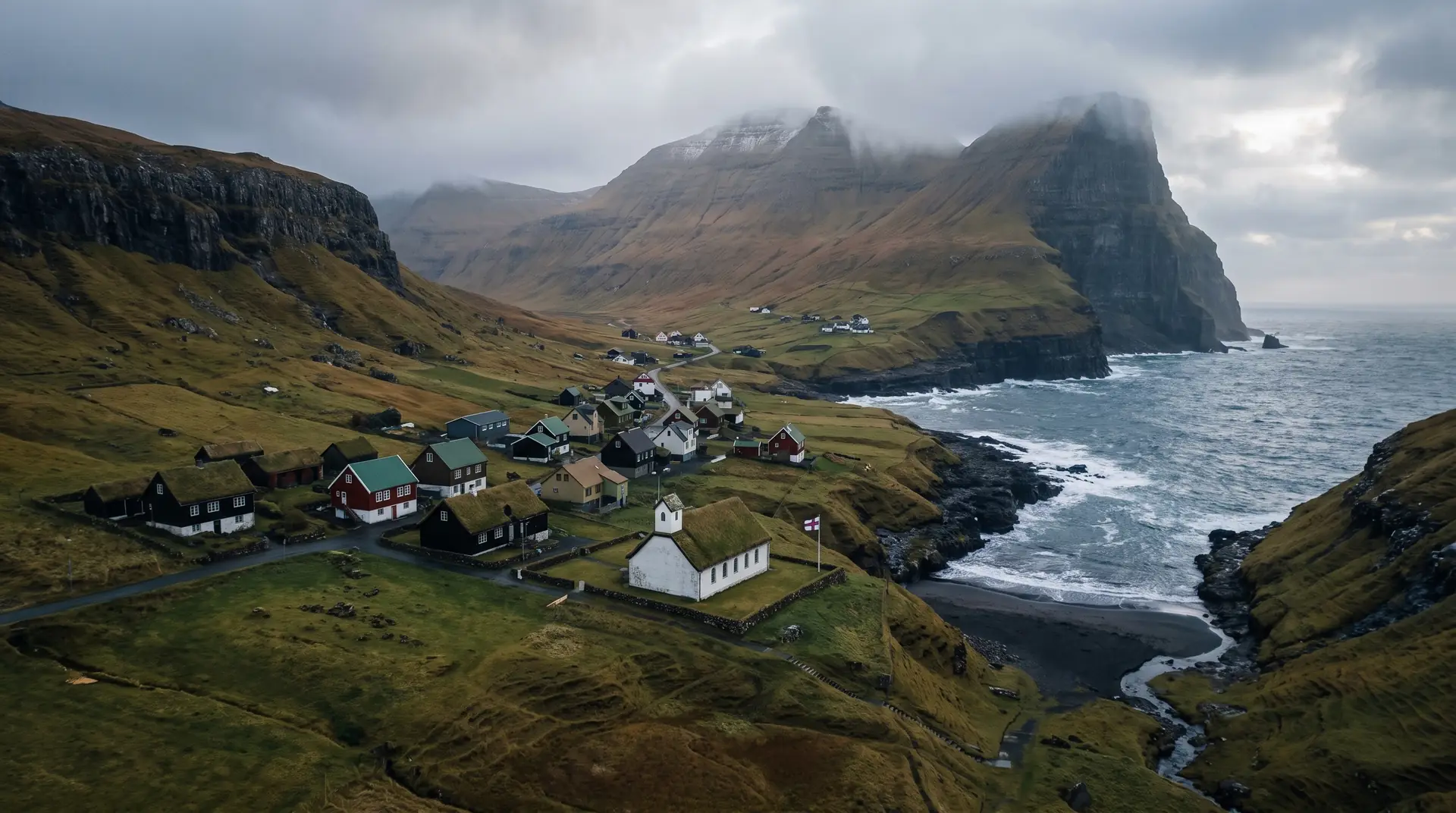
The listening post.
“For thirty-four years this cliff told ships where they were. Now it tells visitors how large the Atlantic is.”
Eggjarnar is the easiest big view in the Faroes to reach. A steep, narrow road leaves Vágur on the south side of the fjord and climbs for ten minutes to a parking area at the edge of a two-hundred-metre wall, where somebody has bolted down a pair of binoculars and left the rest to the ocean.
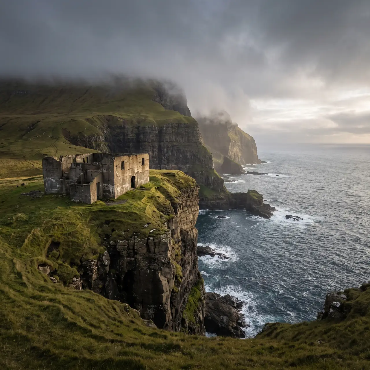
The buildings behind you are the reason the road exists. From 1943 the Allies ran a LORAN station here, broadcasting the radio pulses that let ships and aircraft fix their position across the North Atlantic; it kept working until 1977, when satellites made the whole apparatus redundant. What is left is bare concrete, unfenced and unrestored, which suits the setting better than a museum would.
For anyone wanting to earn it, the walk up from the village takes about an hour, and the summit of Rávan rises behind the viewpoint for those still moving after that.