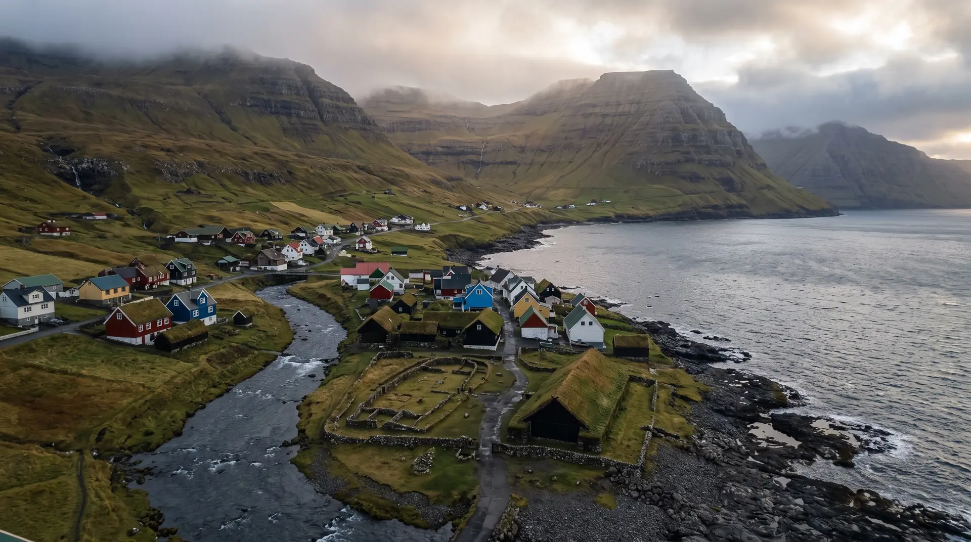
Kvívík.
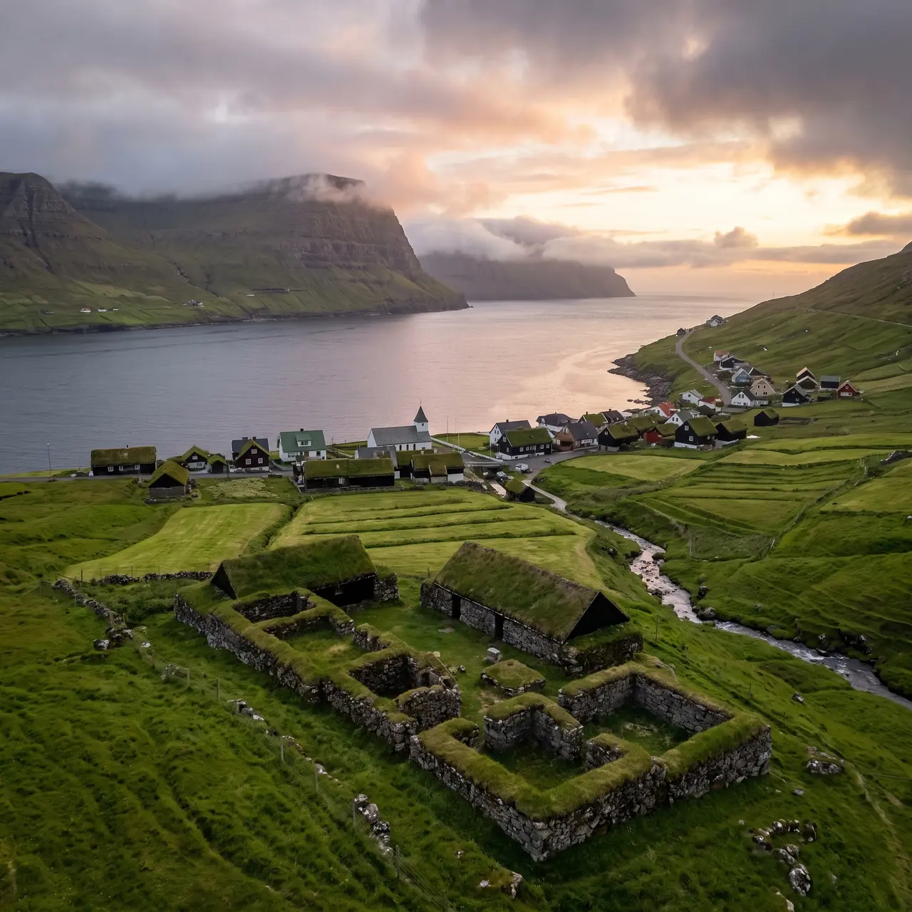
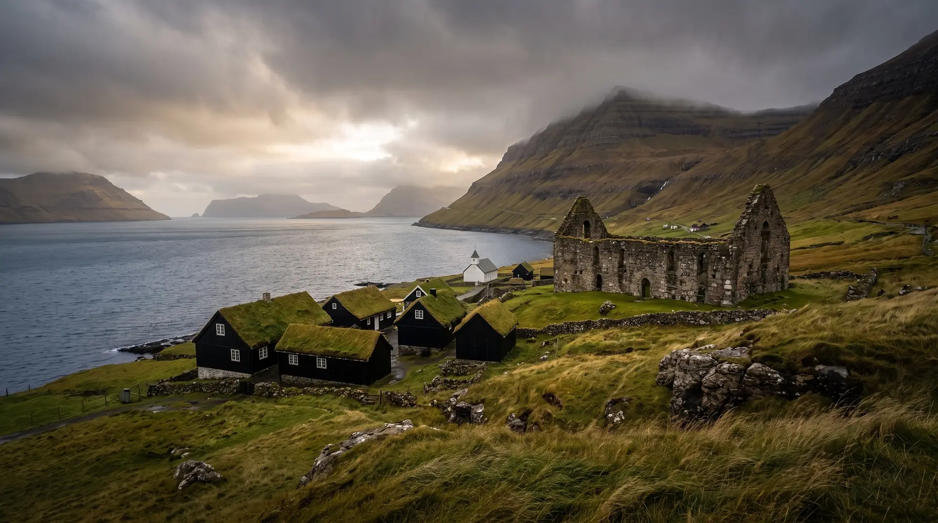
Two Norse longhouses at a river mouth, dug out of the turf in the 1940s.
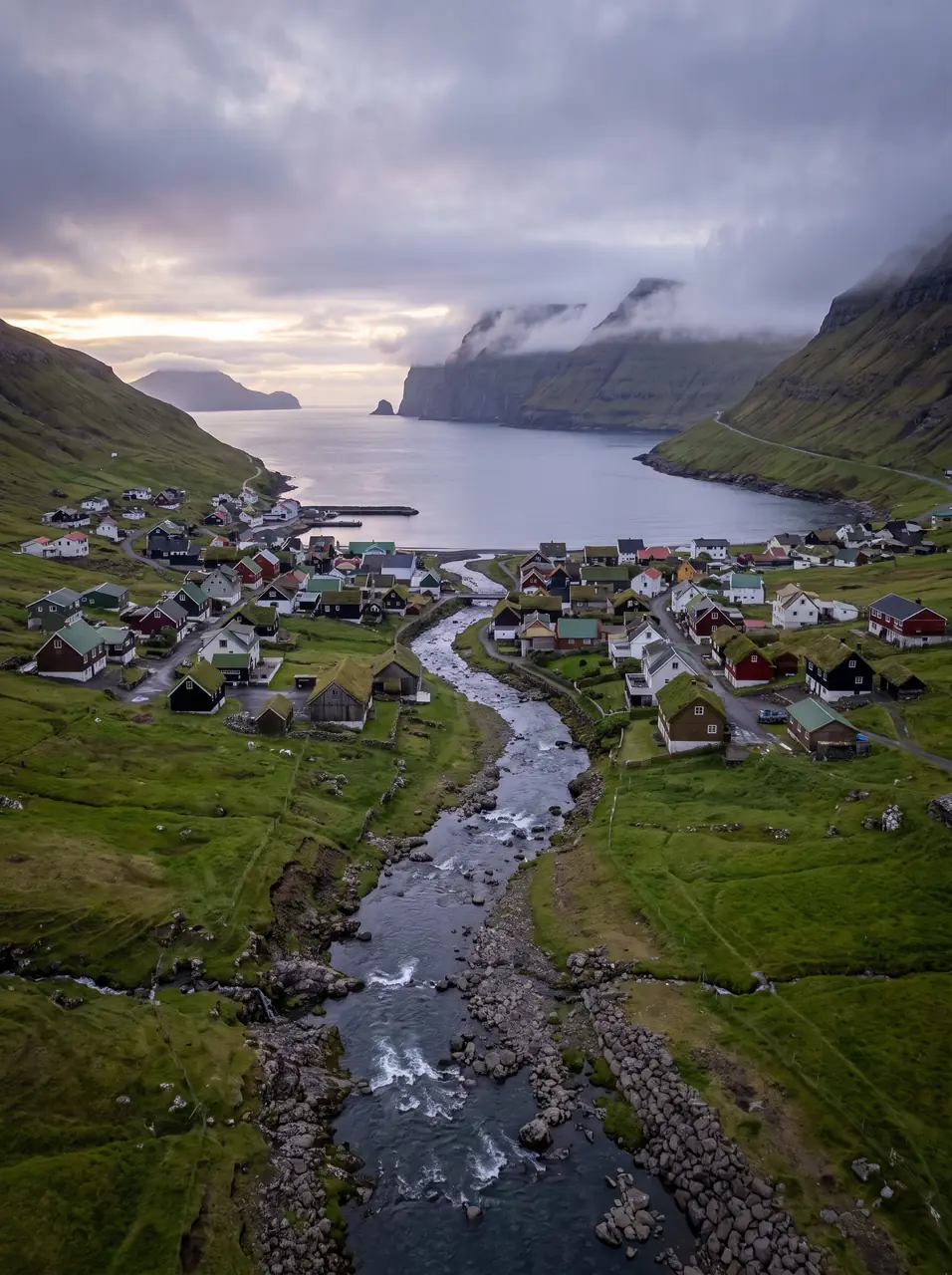
Four hundred people live where the Stórá reaches the sea on Streymoy’s west coast. Below the houses lie the foundations of Niðri á Toft — a Viking-age farm, a longhouse and its byre, uncovered in the first archaeological excavation ever run in the Faroes.
- 01One of the oldest inhabited places in the islands
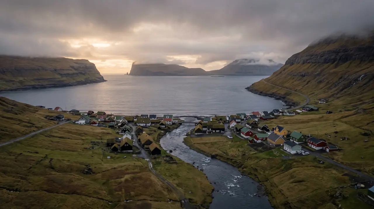
- 02The Stórá splits the village and empties into the bay
- 03Vágar, Koltur, Sandoy and Hestur all sit in the same view
- 04Thirty minutes from Tórshavn and rarely busy
The place, as it lets itself be seen.
How the weather
behaves here.
Read the air before you arrive. Fronts pass fast in the Faroes — fog, wind, and light can rewrite this place within an hour.
How to arrive,
how to stay.
- Access
- Thirty minutes by road from Tórshavn along Streymoy’s west coast
- Parking
- Roadside spaces near the church and the river mouth
- Fees
- Free · the excavation is open ground beside the shore
- Difficulty
- Easy
- Duration
- 45–90 min
- Best season
- Year-round
- Crowd level
- Quiet
- Drone
- Restricted
- Safety
- Low stone walls right at the water · the river runs hard after rain
A field guide
for the light.
Low western sun raking the excavated walls. Get low at the longhouse foundations so the wall lines run out to the sound — a thousand years of frontage in one plane.
- 24–70mm standard
- 35mm prime in the lanes
- 70–200mm across the sound
Four hundred people is a full village · keep the 150 m buffer, fly from the shore, stay under 120 m.
September–October for low sun on the stonework
62.12° N · 7.08° W
Surrounding villages, hikes, and weather overlays — open the full atlas to explore in motion.
Within an
afternoon's drift.
The first dig.
“Faroese archaeology began here, with two turf-walled houses that had been lying under the grass the entire time.”
The excavation at Niðri á Toft in the 1940s was the first archaeological project of its kind in the islands, and what came out of the ground was unambiguous: a Viking-age farm with a longhouse and a byre beside it, more than a thousand years old, built to a pattern carried across from Norway and then adapted to a place with no timber to spare.
The setting explains the choice. Kvívík sits on both banks of the Stórá where the river meets a narrow bay, sheltered enough to land a boat and open enough to watch the sound — Vágar to the west, Koltur and Hestur to the south, Sandoy beyond them. A Norse farmer picking a site on this coast would have picked this one.
Four hundred people live here now, thirty minutes from the capital on the west-coast road, and the foundations sit unfenced by the shore with the sea a few metres away. It is one of the least theatrical thousand-year-old things in the country.