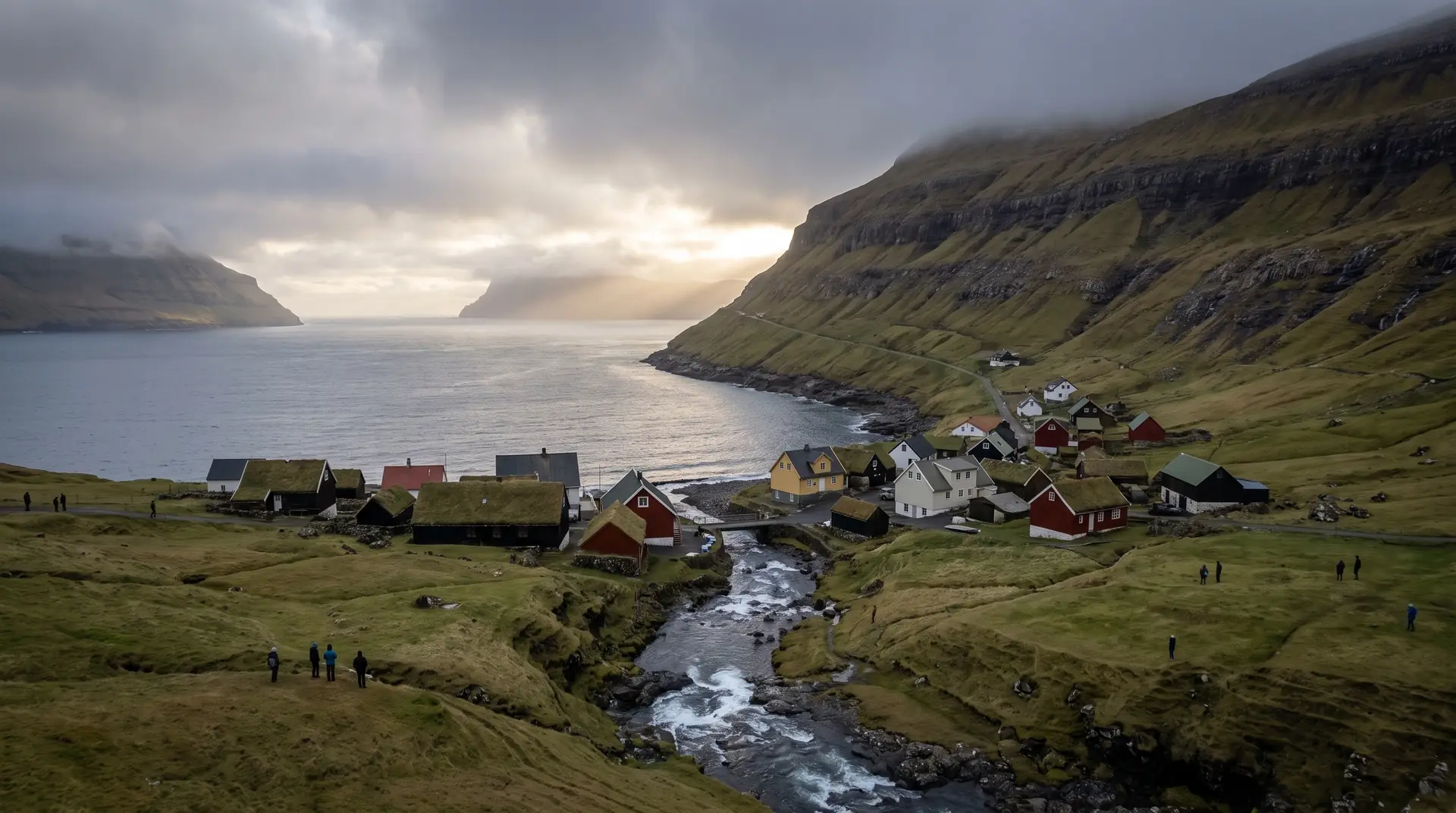
Elduvík.
Twelve people, a stream through the middle, and a fjord that opens onto Kalsoy.
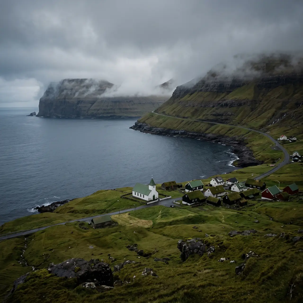
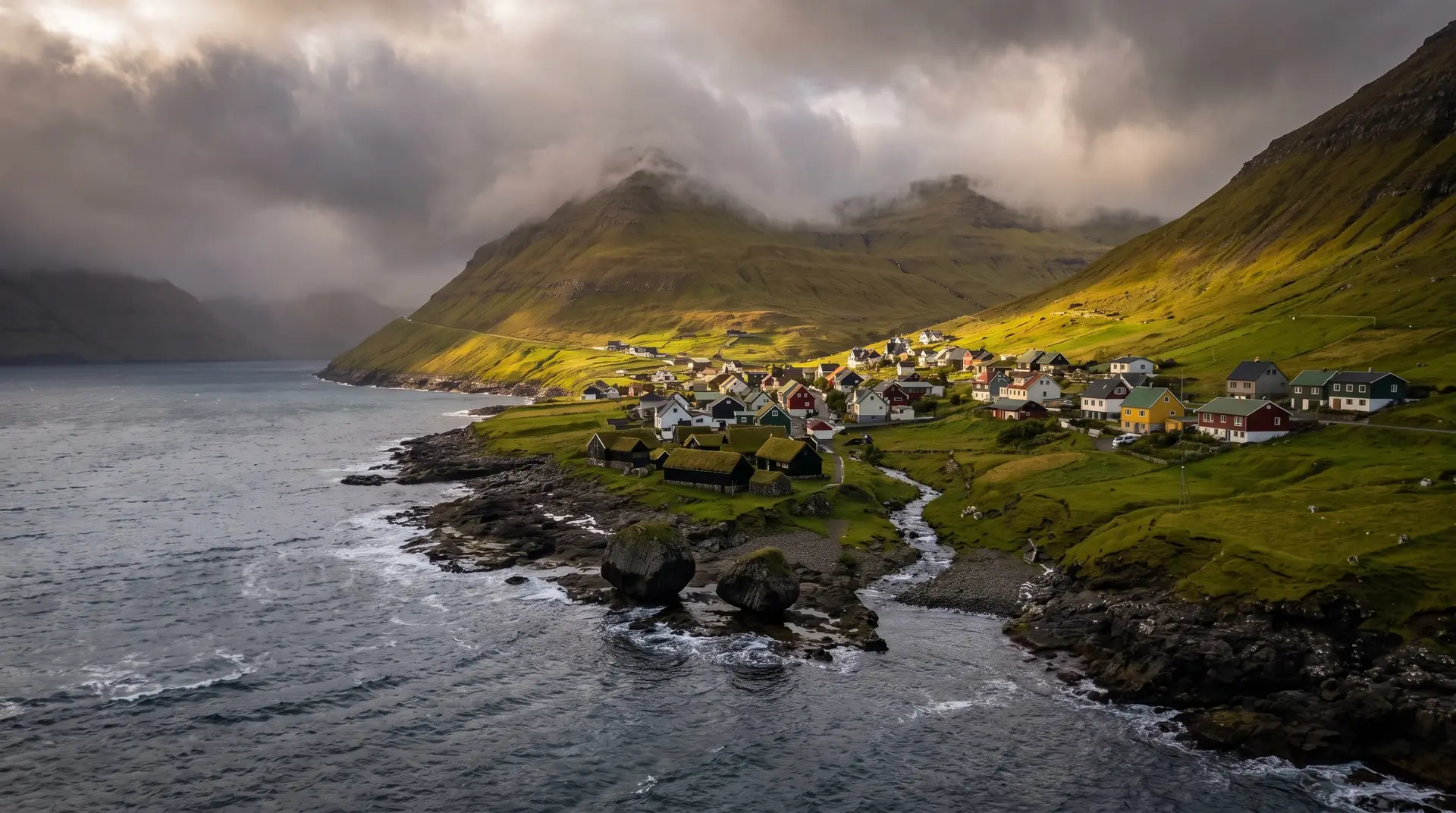
At the end of a green valley on Eysturoy’s north-east coast, Elduvík holds twelve residents, a church, and a stream running between the houses to the shore. Funningur sits across the fjord; Kalsoy closes the view.
- 01Small enough that the stream is the loudest thing in it
- 02No bus has ever come here — the road is the only arrival
- 03The fjord frames Funningur, and Kalsoy beyond it
- 04The valley stays green long after the tops have gone brown
The place, as it lets itself be seen.
How the weather
behaves here.
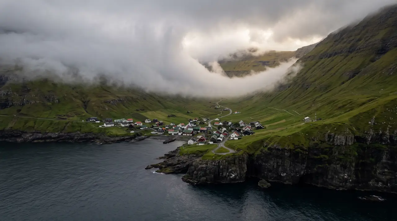
Read the air before you arrive. Fronts pass fast in the Faroes — fog, wind, and light can rewrite this place within an hour.
How to arrive,
how to stay.
- Access
- Road only, down from the Funningsfjørður shore · neither Elduvík nor Oyndarfjørður has a bus service
- Parking
- Good spaces by the church, more by the graveyard where the Oyndarfjørður path starts
- Fees
- Free · village and trailheads carry no charge; ask at the campsite for its own tariff
- Difficulty
- Moderate
- Duration
- An hour in the village · an hour each way over to Oyndarfjørður
- Best season
- May–September
- Crowd level
- Quiet
- Drone
- Restricted
- Safety
- The ridge path to Oyndarfjørður is graded difficult — 3 km, 159 m of climb, steep and slick in rain
A field guide
for the light.
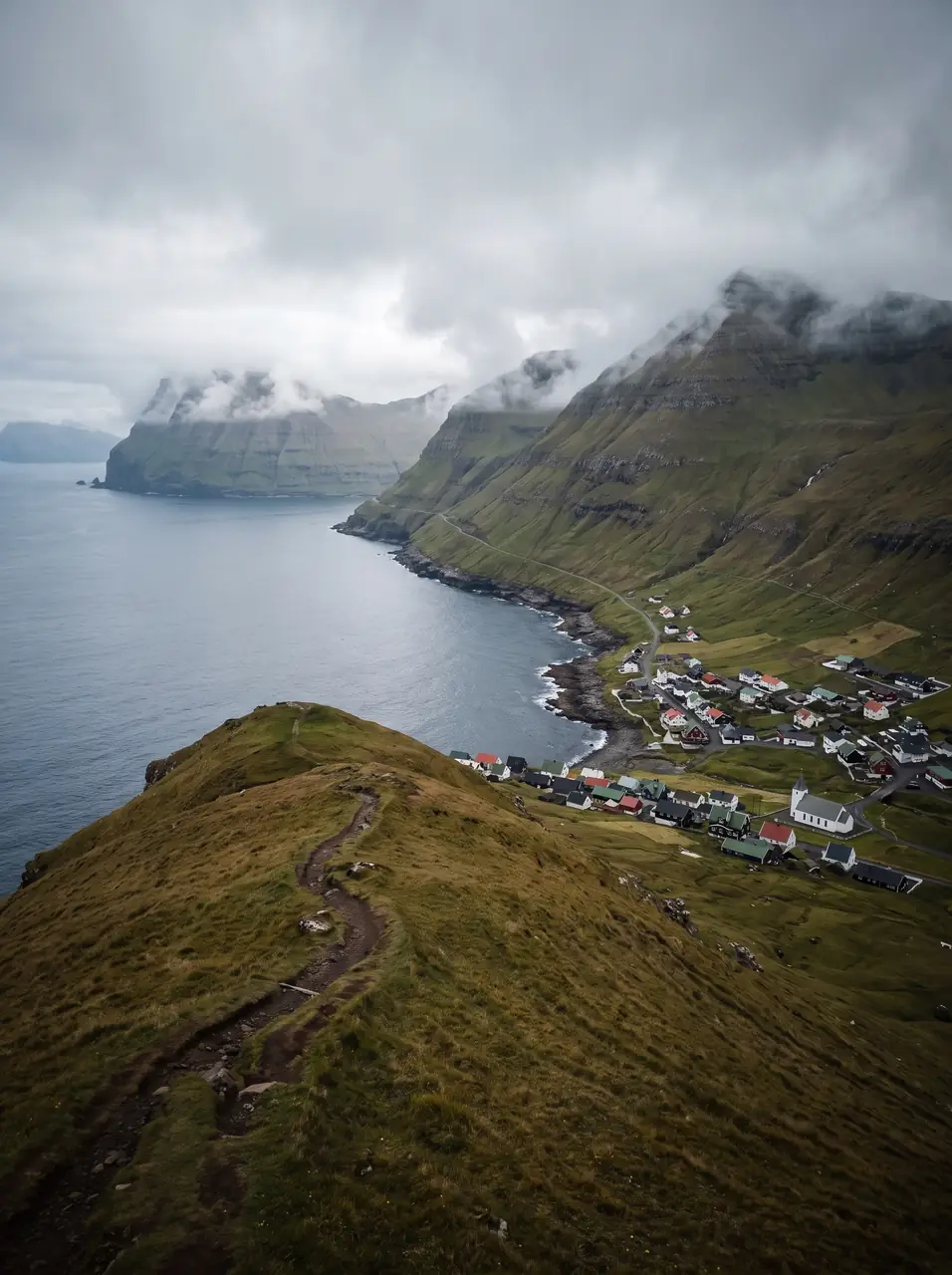
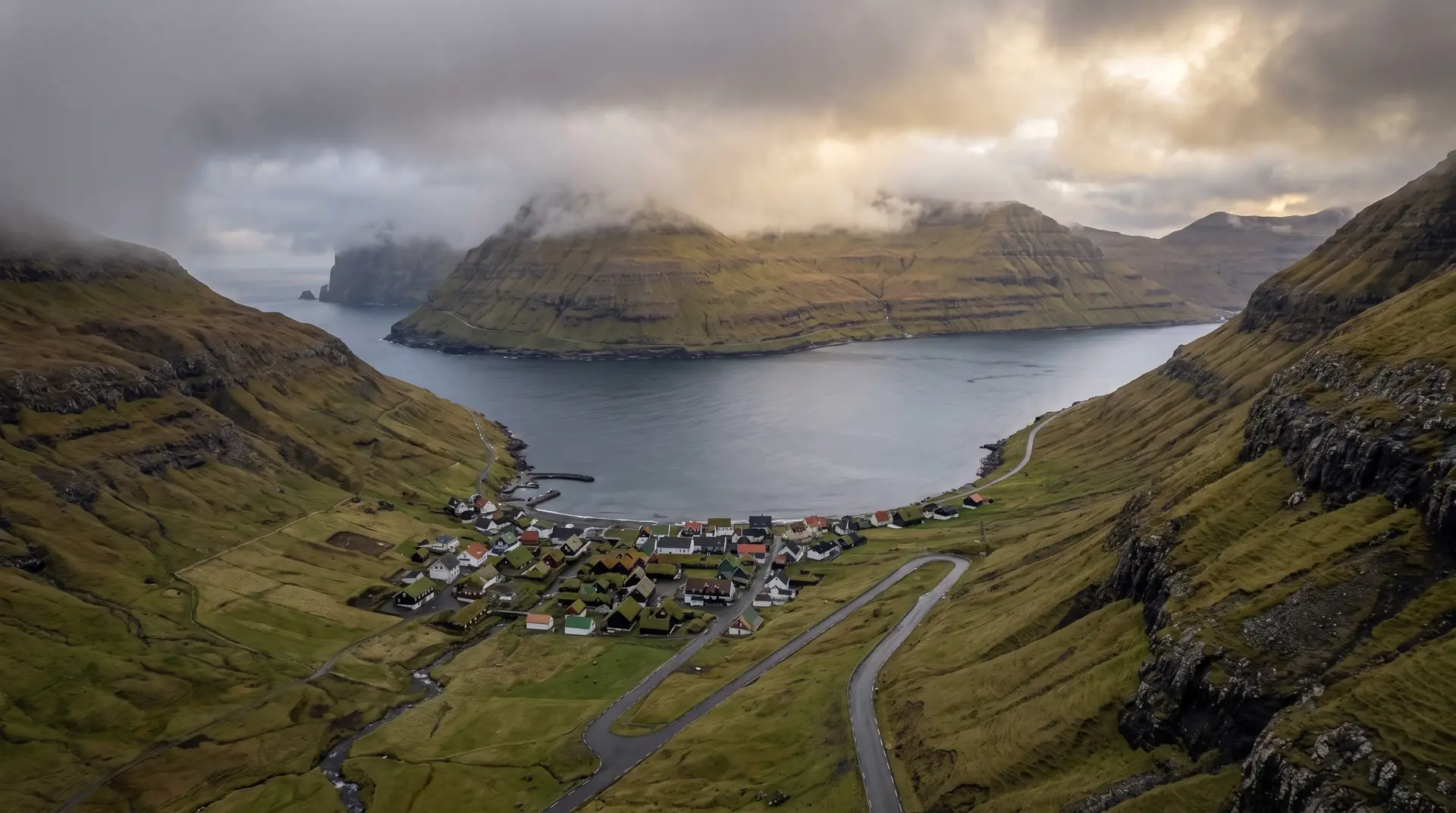
Low sun down the fjord while cloud still sits in the valley. Stop at the roadside bend before the descent — Funningur across the water, Elduvík small below, the fjord holding both.
- 24–70mm standard
- 35mm prime in the village
- 70–200mm across the fjord
Twelve residents is still a village · 150 m clear, under 120 m, and work from the fjord mouth.
June for valley green · September for low fjord light
62.28° N · 6.91° W
Surrounding villages, hikes, and weather overlays — open the full atlas to explore in motion.
Within an
afternoon's drift.
Twelve, and a stream.
“There are Faroese villages you visit. This is one you interrupt.”
Elduvík is what remains when a settlement stops growing and simply persists: twelve people, a church, a graveyard, a handful of painted houses on both banks of a stream that crosses the last hundred metres of valley and gives up into the fjord. No bus has ever served it. The road in has a rough stretch that keeps the pace honest.
The classic walk leaves from the graveyard and crosses the ridge to Oyndarfjørður — three kilometres, an hour, a hundred and fifty-nine metres of climb, and a difficult grading that surprises people who read only the distance. Neither end has public transport, so the return leg needs arranging before you start.
The view most people remember is not from inside the village at all. It is from the bend in the road above it, where Funningur appears across the water with the whole fjord between, and the descent into Elduvík reads as an afterthought.