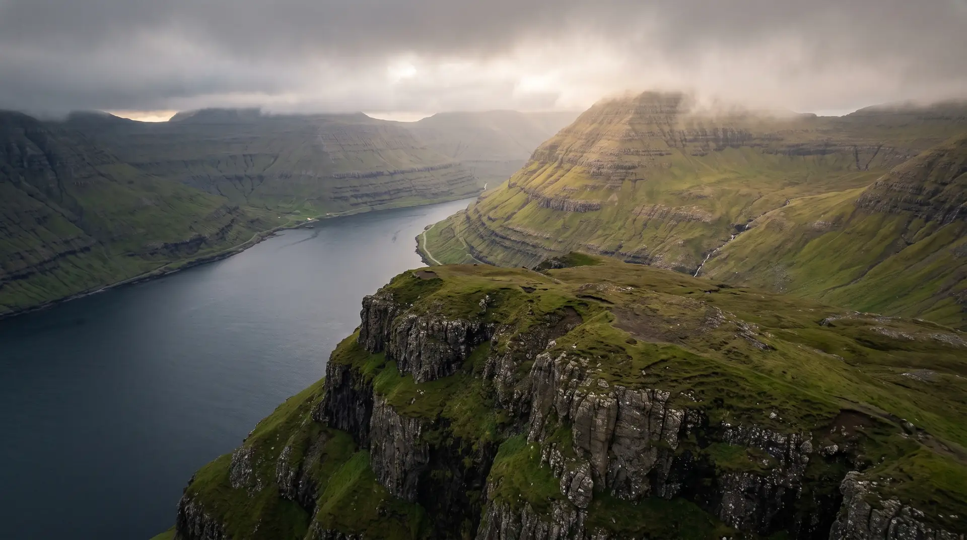
Hvíthamar.
Ten minutes’ walk to the islands’ most vertiginous fjord view.
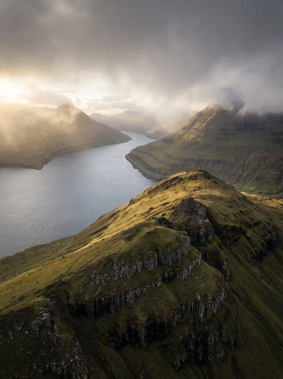
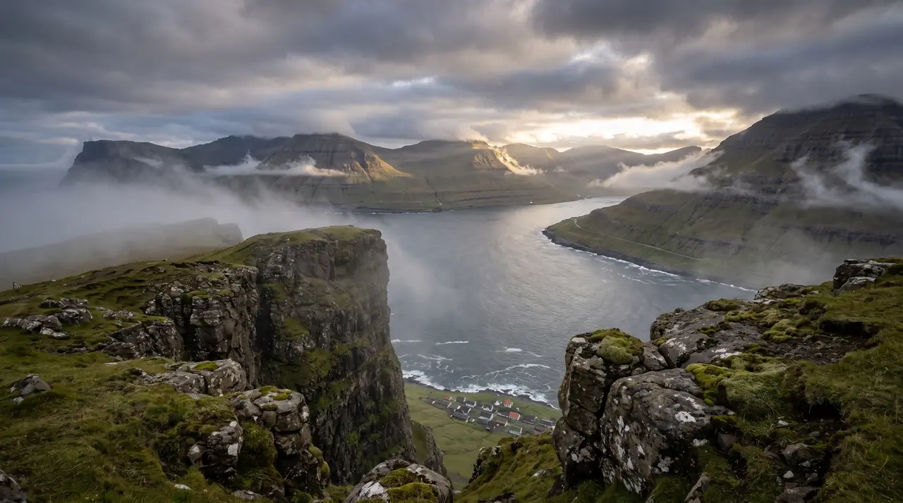
From the Gjáarskarð pass above Funningur, a short grassy climb ends at Hvíthamar — a ledge looking straight down the trench of Funningsfjørður.
- 01The fjord drops away all at once — arrive braced
- 02Cloud rivers pour through the pass on humid days
- 03Ten minutes from the car — the islands’ best effort-to-drama ratio
- 04Evening light runs straight up the fjord
The place, as it lets itself be seen.
How the weather
behaves here.
Read the air before you arrive. Fronts pass fast in the Faroes — fog, wind, and light can rewrite this place within an hour.
How to arrive,
how to stay.
- Access
- Park at Gjáarskarð on the Funningur–Gjógv road · 10–15 min walk
- Parking
- Small lot at the pass
- Difficulty
- Easy
- Duration
- 30–60 min return
- Best season
- May–October
- Crowd level
- Quiet
- Drone
- Permitted
- Safety
- The ledge is unfenced grass · wet slopes slide
A field guide
for the light.
Broken cloud racing the fjord — shadows do the composition. Kneel at the ledge and let the fjord run corner to corner; Funningur’s houses give the scale.
- 16–35mm for the drop
- 24–70mm down-fjord
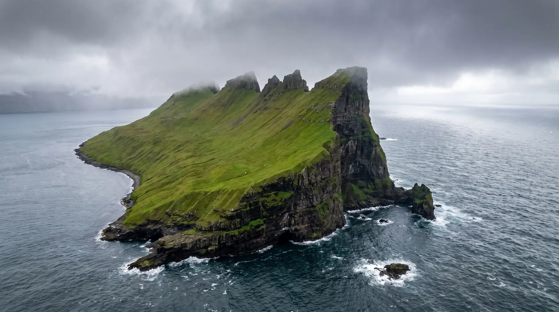
Superb airspace — but the pass funnels wind; test at ground level first.
June–July evenings
62.29° N · 6.96° W
Surrounding villages, hikes, and weather overlays — open the full atlas to explore in motion.
Within an
afternoon's drift.
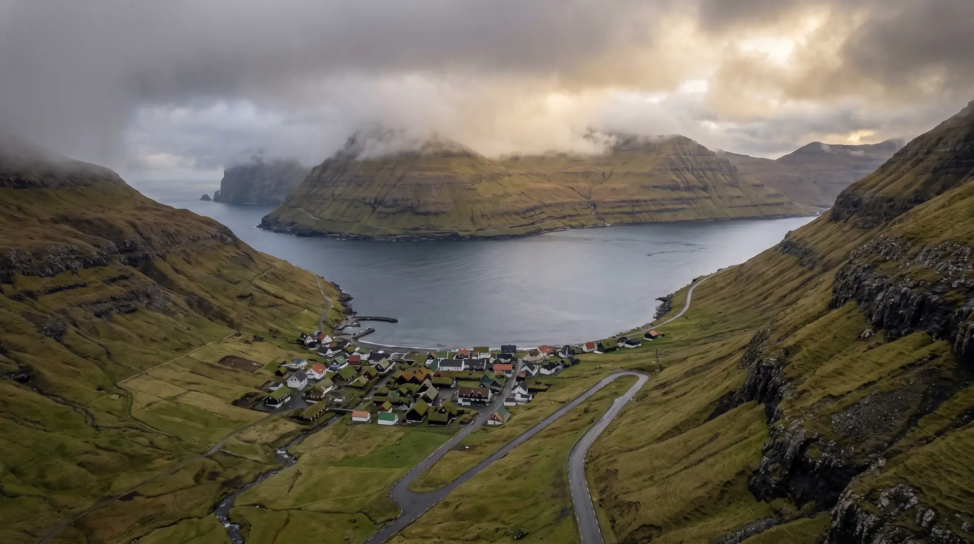
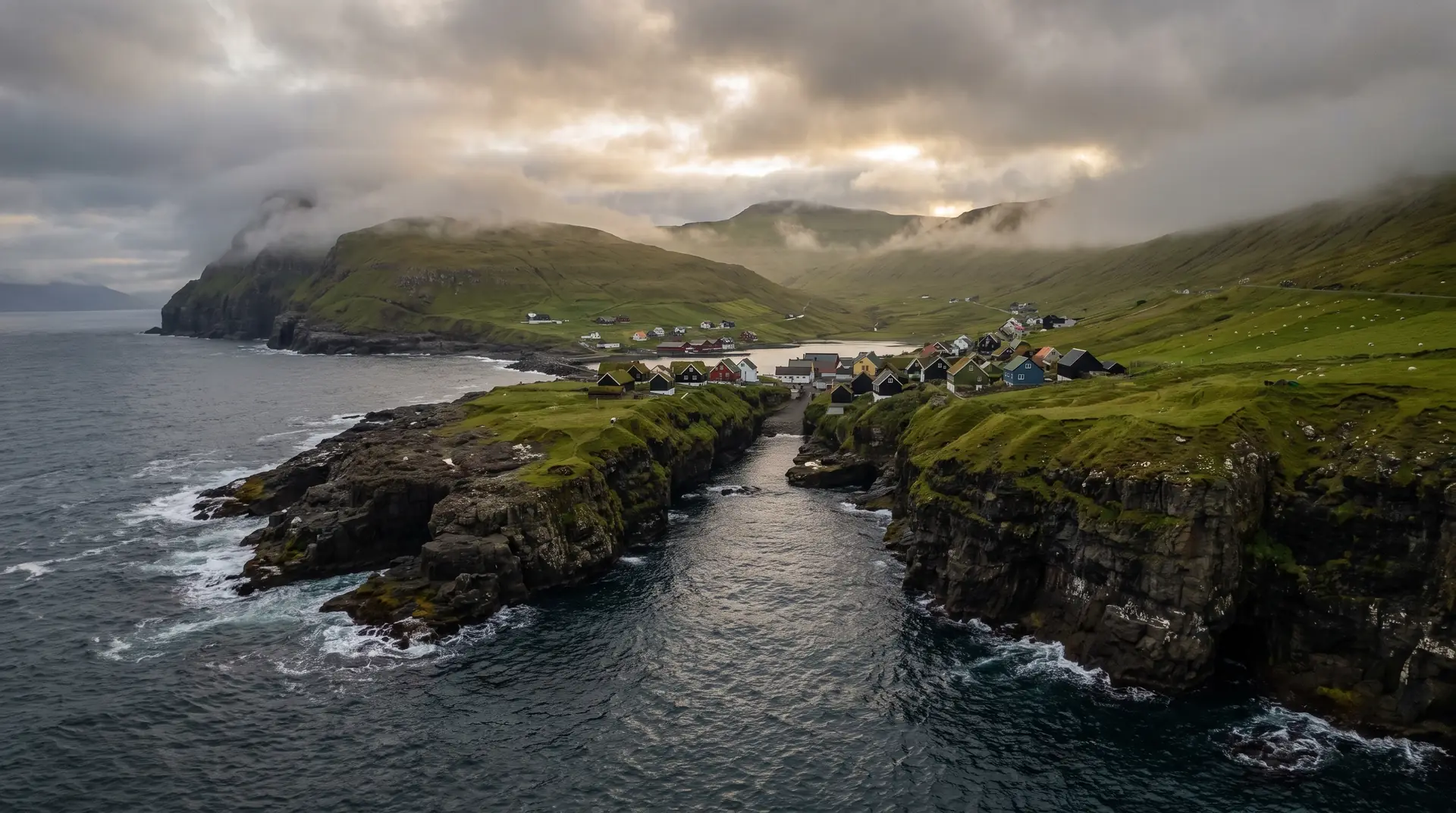
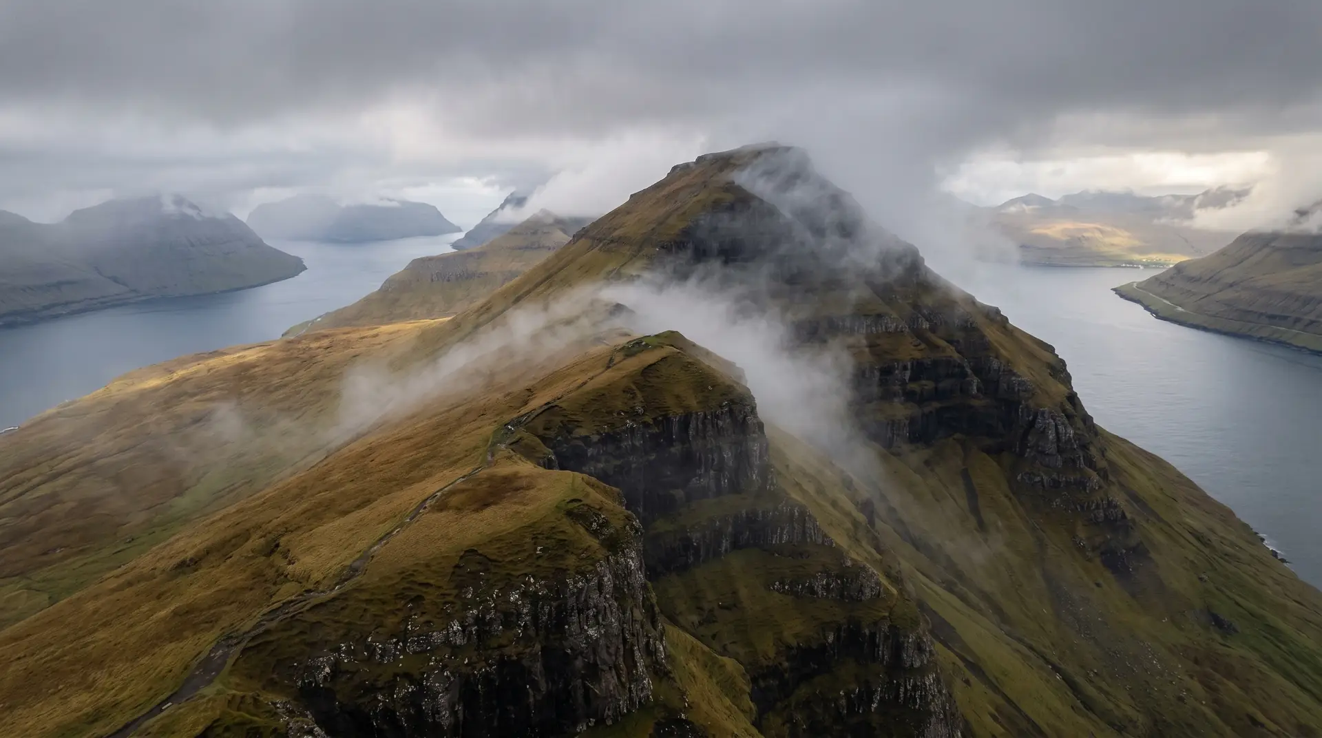
The ledge above the trench.
“Some views you hike all day for. This one ambushes you before your boots are warm.”
Hvíthamar is the islands’ shortcut to vertigo: park at the pass, follow the grass ridge ten minutes, and the ground opens into Funningsfjørður — a glacier-cut trench of black water walled by thousand-metre slopes, with Funningur’s few houses holding the shore like punctuation.
It has become the local answer to the question ‘one view, one hour, which?’ — and deserves it. Go at the end of the day, when the light enters the fjord lengthwise and the tour schedules have everyone else at dinner.