Eiði.
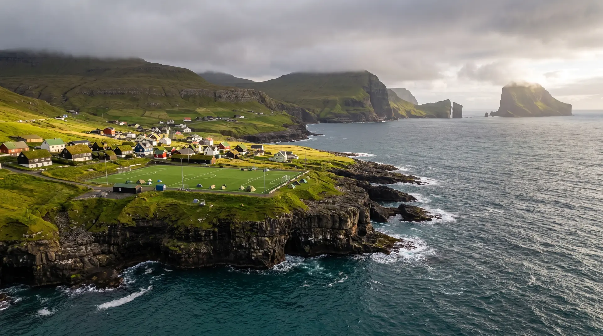
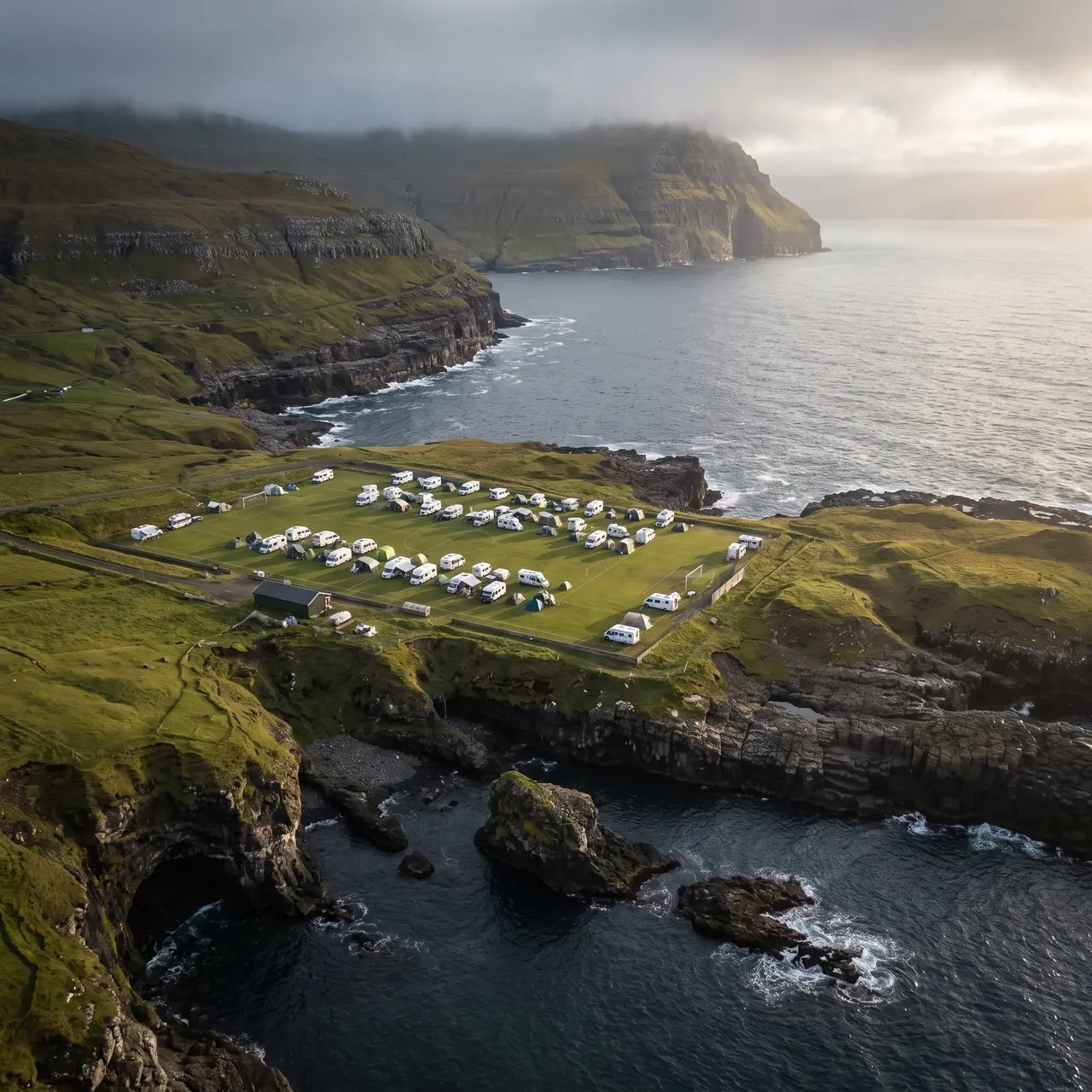
A football pitch at the edge of the Atlantic, retired into a campsite.
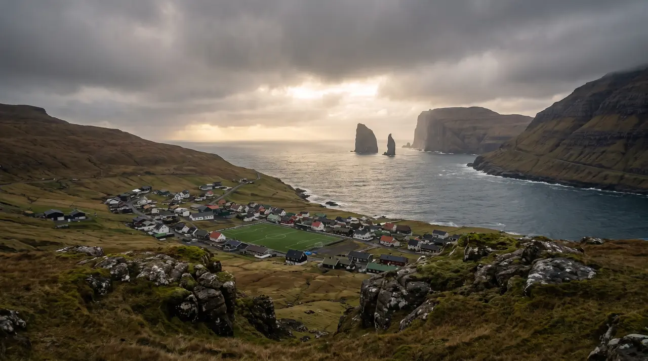
Seven hundred people live at the northern corner of Eysturoy, where the old seaside football ground now takes tents and the Eiðiskollur plateau above the village looks straight out at Risin og Kellingin.
- 01Still the best-sited playing field ever given up
- 02The giant and the witch stand offshore whatever the weather does
- 03Cloud pours over the plateau rim on humid evenings
- 04Salt spray reaches the tents in a storm
The place, as it lets itself be seen.
How the weather
behaves here.
Read the air before you arrive. Fronts pass fast in the Faroes — fog, wind, and light can rewrite this place within an hour.
How to arrive,
how to stay.
- Access
- Over the Streymin bridge or through the Eysturoy subsea tunnel, then north to the coast
- Parking
- Small free lot at the Eiðiskollur trailhead above the old pitch
- Fees
- No charge for the plateau walk · confirm the campsite tariff locally on arrival
- Difficulty
- Easy
- Duration
- 1.5–2 hours for the village and the plateau
- Best season
- May–September
- Crowd level
- Moderate
- Drone
- Restricted
- Safety
- The plateau ends in an unfenced vertical drop · stay back in wind or fog
A field guide
for the light.
Backlit evening — the stacks go black and the sea goes silver. Put Risin og Kellingin on the lower third from the plateau and give the rest of the frame to the weather arriving behind them.
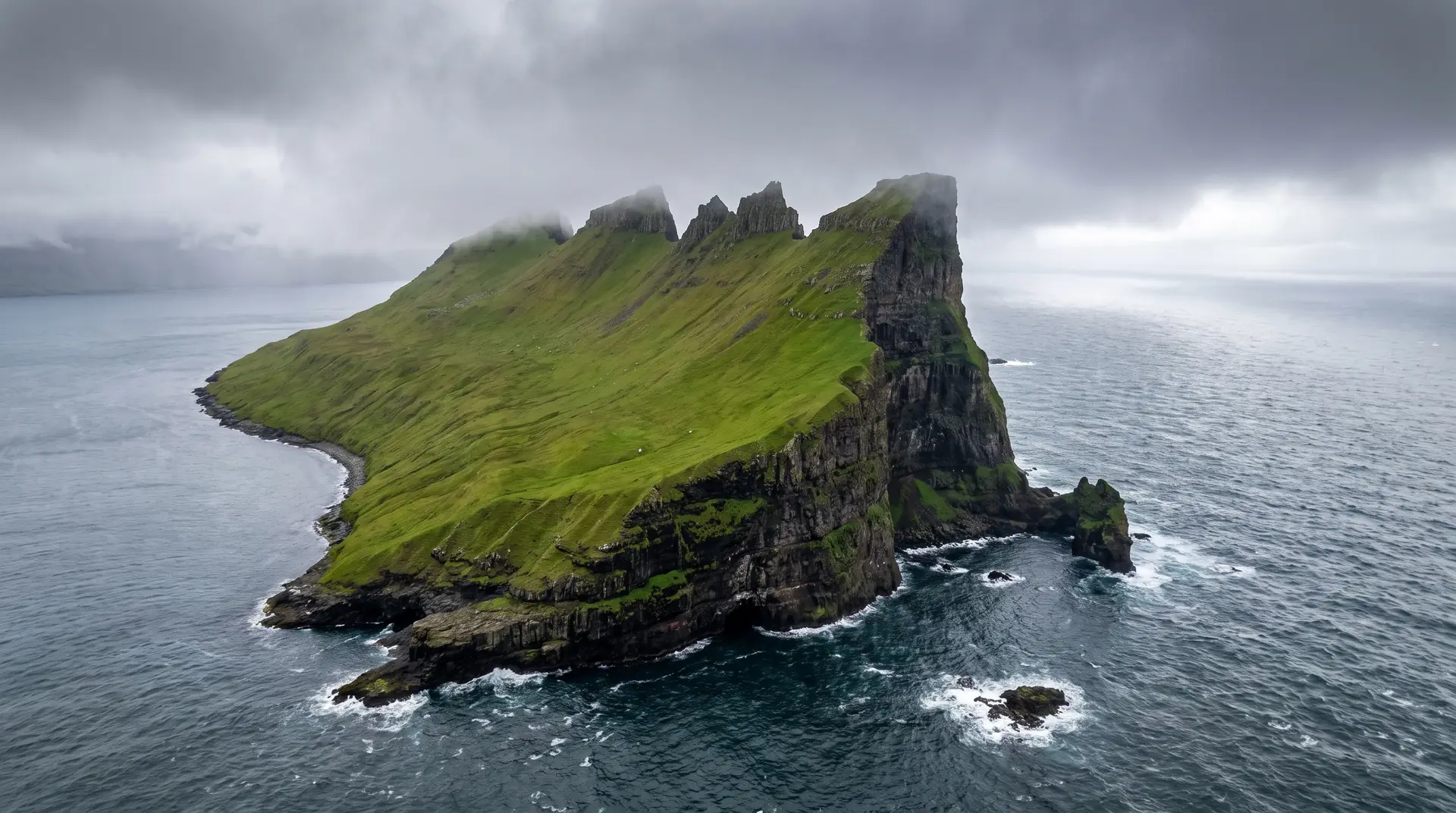
- 70–200mm for the stacks
- 16–35mm on the plateau
- 24–70mm in the village
Cliff colonies here and a village 150 m below · fly seaward, under 120 m, and expect the rim to double the wind.
June for late backlight · October for swell breaking on the stacks
62.30° N · 7.09° W
Surrounding villages, hikes, and weather overlays — open the full atlas to explore in motion.
Within an
afternoon's drift.
The pitch at the end of the pitch.
“Somebody once had to fetch the ball out of the North Atlantic. Repeatedly.”
Eiði built its football ground on the only flat shelf it had, which happened to be a ledge above open ocean at the top of Eysturoy. The result was the most photographed pitch in the islands and, presumably, the highest ball-replacement budget in Faroese sport. The club moved inland; the ledge now takes tents, and campers wake to spray on the flysheet.
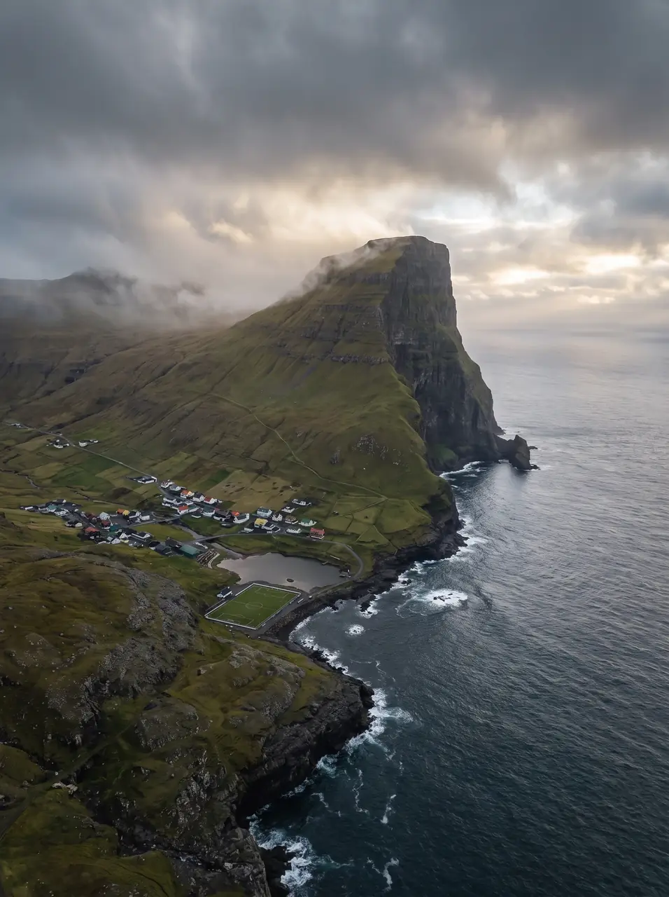
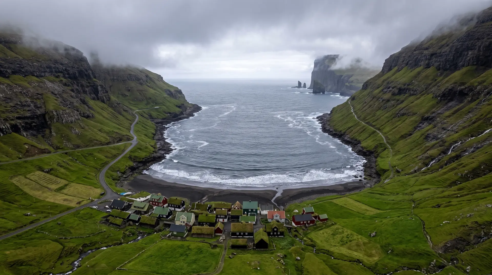
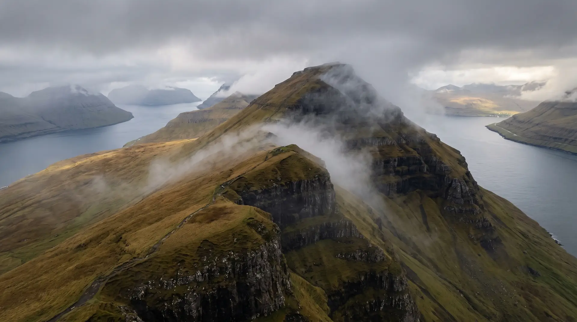
Above the village the ground climbs to Eiðiskollur, a plateau at 352 metres reached in well under an hour from the trailhead. From the rim you look down on Risin og Kellingin — the giant and the witch, the same two stacks Tjørnuvík watches from the far side of the strait, seen here in profile with the whole north coast running away behind them.
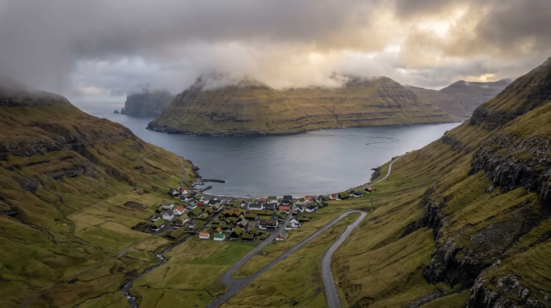
Seven hundred people make Eiði substantial by Faroese standards, and there are Viking-age remains in the ground beneath it. But the village reads as a foreground: everything here is arranged to look outward.